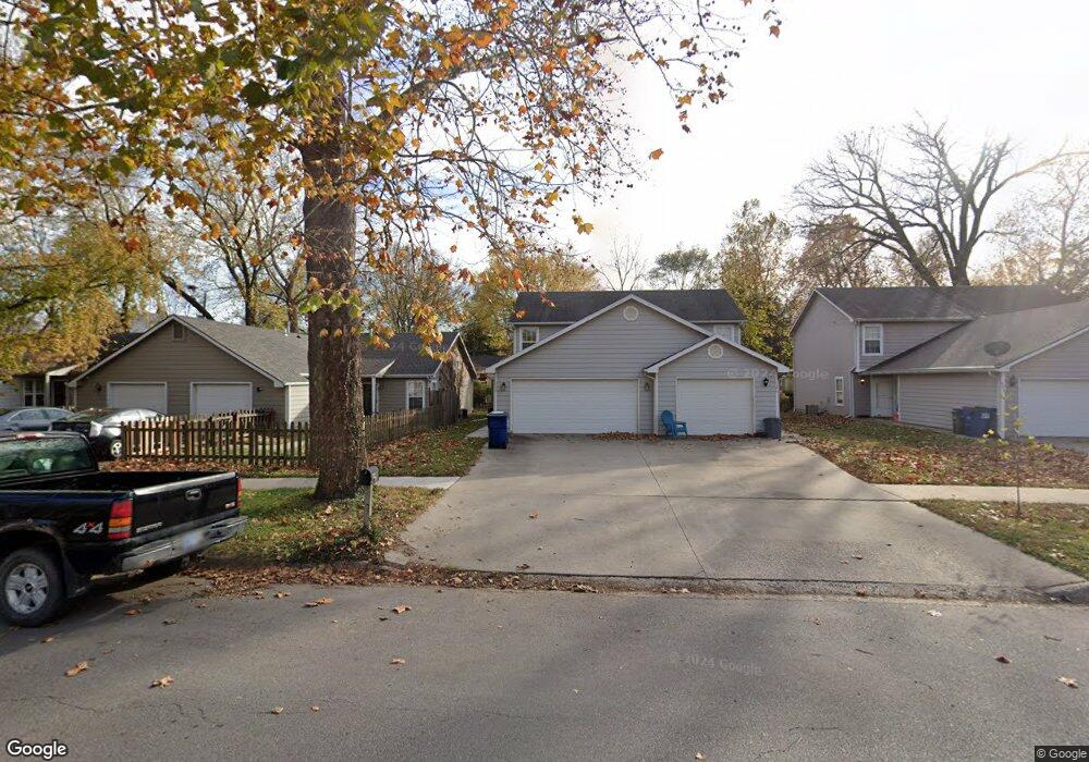
628 Locust St Lawrence, KS 66044
North Lawrence NeighborhoodEstimated Value: $203,000 - $263,000
3
Beds
2
Baths
1,414
Sq Ft
$158/Sq Ft
Est. Value
About This Home
This home is located at 628 Locust St, Lawrence, KS 66044 and is currently estimated at $224,087, approximately $158 per square foot. 628 Locust St is a home located in Douglas County with nearby schools including Woodlawn Elementary School, Liberty Memorial Central Middle School, and Lawrence Free State High School.
Ownership History
Date
Name
Owned For
Owner Type
Purchase Details
Closed on
Aug 10, 2001
Sold by
Lawrenz Ronald D and Lawrenz Linda
Bought by
Hoehns Kevin Rance
Current Estimated Value
Home Financials for this Owner
Home Financials are based on the most recent Mortgage that was taken out on this home.
Original Mortgage
$79,600
Outstanding Balance
$30,669
Interest Rate
6.98%
Mortgage Type
Purchase Money Mortgage
Estimated Equity
$193,418
Create a Home Valuation Report for This Property
The Home Valuation Report is an in-depth analysis detailing your home's value as well as a comparison with similar homes in the area
Home Values in the Area
Average Home Value in this Area
Purchase History
| Date | Buyer | Sale Price | Title Company |
|---|---|---|---|
| Hoehns Kevin Rance | -- | First American Title |
Source: Public Records
Mortgage History
| Date | Status | Borrower | Loan Amount |
|---|---|---|---|
| Open | Hoehns Kevin Rance | $79,600 |
Source: Public Records
Tax History
| Year | Tax Paid | Tax Assessment Tax Assessment Total Assessment is a certain percentage of the fair market value that is determined by local assessors to be the total taxable value of land and additions on the property. | Land | Improvement |
|---|---|---|---|---|
| 2025 | $2,723 | $22,460 | $5,175 | $17,285 |
| 2024 | $2,663 | $21,967 | $4,600 | $17,367 |
| 2023 | $2,719 | $21,350 | $4,025 | $17,325 |
| 2022 | $2,487 | $19,409 | $3,450 | $15,959 |
| 2021 | $2,186 | $16,420 | $2,760 | $13,660 |
| 2020 | $1,991 | $15,064 | $2,760 | $12,304 |
| 2019 | $1,893 | $14,346 | $2,760 | $11,586 |
| 2018 | $1,859 | $13,996 | $0 | $13,996 |
| 2017 | $1,793 | $13,357 | $2,818 | $10,539 |
| 2016 | $1,624 | $12,662 | $2,818 | $9,844 |
| 2015 | -- | $12,052 | $0 | $12,052 |
| 2014 | -- | $12,052 | $0 | $12,052 |
Source: Public Records
Map
Nearby Homes
- 832 Locust St
- 604 North St
- 627 Connecticut St
- 606 North St
- 705 Rhode Island St Unit F
- 705 Rhode Island St Unit B
- 705 Rhode Island St Unit A
- 705 Rhode Island St Unit P
- 705 Rhode Island St Unit Q
- 705 Rhode Island St Unit J
- 705 Rhode Island St Unit E
- 705 Rhode Island St Unit K
- 705 Rhode Island St Unit D
- 705 Rhode Island St Unit C
- 705 Rhode Island St Unit N
- 705 Rhode Island St Unit H
- 705 Rhode Island St Unit L
- 705 Rhode Island St Unit G
- 705 Rhode Island St Unit M
- 928 Pennsylvania St
Your Personal Tour Guide
Ask me questions while you tour the home.