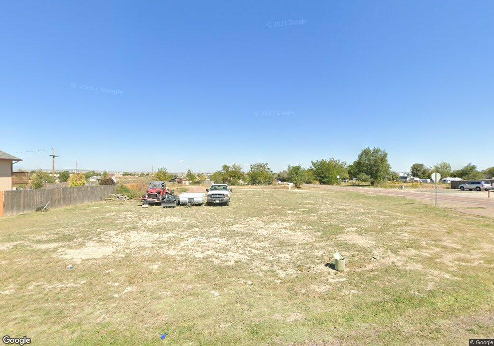
628 S Maher Dr Unit 10 Pueblo West, CO 81007
Estimated Value: $21,644 - $376,000
--
Bed
--
Bath
--
Sq Ft
0.31
Acres
About This Home
This home is located at 628 S Maher Dr Unit 10, Pueblo West, CO 81007 and is currently estimated at $213,161. 628 S Maher Dr Unit 10 is a home located in Pueblo County with nearby schools including Liberty Point Elementary School, Liberty Point International School, and Pueblo West High School.
Ownership History
Date
Name
Owned For
Owner Type
Purchase Details
Closed on
Jun 29, 2020
Sold by
Grundy Melissa D and Grundy Benjamin J
Bought by
Martinez Lawrence and Janson Michelle R
Current Estimated Value
Purchase Details
Closed on
Sep 28, 2016
Sold by
Jamieson John
Bought by
Grundy Benjamin J and Grundy Melissa D
Purchase Details
Closed on
Sep 30, 1985
Sold by
Mcmillon Catherine
Bought by
Jamieson John
Purchase Details
Closed on
May 21, 1977
Sold by
Mcmillon Jimmie + Catherine
Bought by
Mcmillon Catherine
Purchase Details
Closed on
Aug 8, 1974
Sold by
Lawyers Title
Bought by
Mcmillon Jimmie + Catherine
Create a Home Valuation Report for This Property
The Home Valuation Report is an in-depth analysis detailing your home's value as well as a comparison with similar homes in the area
Home Values in the Area
Average Home Value in this Area
Purchase History
| Date | Buyer | Sale Price | Title Company |
|---|---|---|---|
| Martinez Lawrence | $13,000 | None Available | |
| Grundy Benjamin J | $7,750 | Stewart Title | |
| Jamieson John | -- | -- | |
| Mcmillon Catherine | -- | -- | |
| Mcmillon Jimmie + Catherine | -- | -- |
Source: Public Records
Tax History Compared to Growth
Tax History
| Year | Tax Paid | Tax Assessment Tax Assessment Total Assessment is a certain percentage of the fair market value that is determined by local assessors to be the total taxable value of land and additions on the property. | Land | Improvement |
|---|---|---|---|---|
| 2024 | $829 | $8,370 | $8,370 | -- |
| 2023 | $839 | $8,370 | $8,370 | $0 |
| 2022 | $288 | $2,900 | $2,900 | $0 |
| 2021 | $287 | $2,900 | $2,900 | $0 |
| 2020 | $196 | $2,900 | $2,900 | $0 |
| 2019 | $195 | $1,972 | $1,972 | $0 |
| 2018 | $195 | $1,972 | $1,972 | $0 |
| 2017 | $196 | $1,972 | $1,972 | $0 |
| 2016 | $259 | $2,610 | $2,610 | $0 |
| 2015 | $257 | $2,610 | $2,610 | $0 |
| 2014 | $286 | $2,900 | $2,900 | $0 |
Source: Public Records
Map
Nearby Homes
- 602 S Del Rio Dr
- 662 S Bayfield Ave
- 606 E Inca Dr
- 601 S Inca Dr
- 682 S Bow Mar Dr
- 613 S Inca Dr
- 444 S Gilia Dr
- 169 E Bond Dr
- 485 S Maher Dr
- 238 E Ohio Dr
- 341 E Stanley Dr
- 714 S Walton Dr
- 576 S Falcon Dr
- 243 E George Dr
- 312 E George Dr
- 200 E Ohio Dr
- 281 E Stewart Dr
- 1110 S Purcell Blvd
- 270 E Stewart Dr
- 437 S Purcell Blvd
- 624 S Maher Dr
- 622 S Bayfield Ave
- 627 S Maher Dr
- 620 S Maher Dr
- 620 S Maher Dr Unit 8
- 589 S Bayfield Ave
- 638 S Maher Dr
- 621 S Maher Dr
- 635 S Maher Dr
- 616 S Maher Dr
- 620 S Simla Dr
- 642 S Maher Dr
- 634 S Bayfield Ave
- 637 S Bayfield Ave
- 612 S Maher Dr
- 624 S Simla Dr
- 638 S Bayfield Ave
- 567 S Bayfield Ave
- 646 S Maher Dr
- 641 S Bayfield Ave