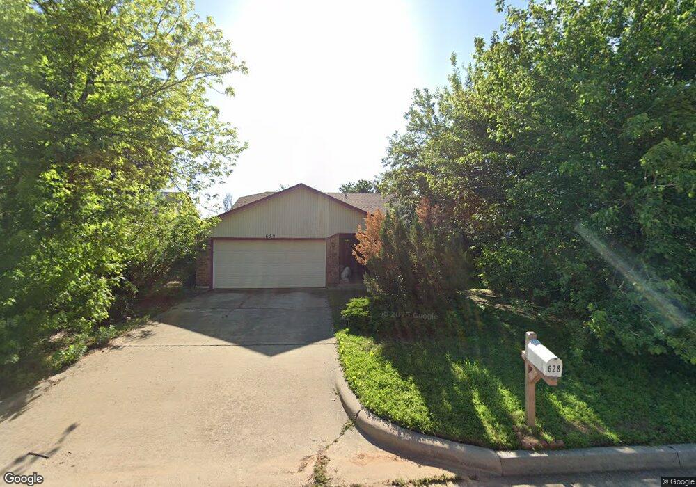
628 Westridge Ct Yukon, OK 73099
West Watch NeighborhoodEstimated Value: $220,000 - $243,000
4
Beds
2
Baths
1,886
Sq Ft
$124/Sq Ft
Est. Value
About This Home
This home is located at 628 Westridge Ct, Yukon, OK 73099 and is currently estimated at $233,032, approximately $123 per square foot. 628 Westridge Ct is a home located in Canadian County with nearby schools including Mustang Creek Elementary School, Meadow Brook Intermediate School, and Mustang Central Middle School.
Ownership History
Date
Name
Owned For
Owner Type
Purchase Details
Closed on
Apr 7, 2003
Sold by
John Mathew T and John Leelamma
Current Estimated Value
Home Financials for this Owner
Home Financials are based on the most recent Mortgage that was taken out on this home.
Original Mortgage
$85,500
Outstanding Balance
$36,622
Interest Rate
5.71%
Estimated Equity
$196,410
Purchase Details
Closed on
Jul 29, 1993
Sold by
Davis Kim and Nancy Susan
Purchase Details
Closed on
Feb 22, 1990
Create a Home Valuation Report for This Property
The Home Valuation Report is an in-depth analysis detailing your home's value as well as a comparison with similar homes in the area
Home Values in the Area
Average Home Value in this Area
Purchase History
| Date | Buyer | Sale Price | Title Company |
|---|---|---|---|
| -- | $95,000 | -- | |
| -- | -- | -- | |
| -- | $70,000 | -- | |
| -- | $58,000 | -- |
Source: Public Records
Mortgage History
| Date | Status | Borrower | Loan Amount |
|---|---|---|---|
| Open | -- | $85,500 |
Source: Public Records
Tax History Compared to Growth
Tax History
| Year | Tax Paid | Tax Assessment Tax Assessment Total Assessment is a certain percentage of the fair market value that is determined by local assessors to be the total taxable value of land and additions on the property. | Land | Improvement |
|---|---|---|---|---|
| 2024 | $1,139 | $11,058 | $1,499 | $9,559 |
| 2023 | $1,139 | $11,058 | $1,752 | $9,306 |
| 2022 | $1,156 | $11,058 | $2,117 | $8,941 |
| 2021 | $1,152 | $11,058 | $968 | $10,090 |
| 2020 | $1,164 | $11,058 | $1,028 | $10,030 |
| 2019 | $1,162 | $11,058 | $979 | $10,079 |
| 2018 | $1,184 | $11,058 | $1,137 | $9,921 |
| 2017 | $1,169 | $11,058 | $1,137 | $9,921 |
| 2016 | $1,165 | $11,058 | $1,142 | $9,916 |
| 2015 | $1,174 | $11,058 | $1,202 | $9,856 |
| 2014 | $1,174 | $11,058 | $1,048 | $10,010 |
Source: Public Records
Map
Nearby Homes
- 612 S Willowood Dr
- 724 Westridge Ct
- 705 Westview Dr
- 11516 SW 8th Cir
- 11604 SW 9th St
- 11632 SW 9th St
- 11605 SW 12th St
- 913 Laurel Creek Dr
- 1213 Greenfield Ave
- 1109 Chestnut Creek Dr
- 1120 Chestnut Creek Dr
- 1109 Hickory Creek Dr
- 1108 Blackjack Creek Dr
- 11601 SW 14th St
- 11100 SW 8th St
- 1208 Hickory Creek Dr
- 11617 SW 14th St
- 1500 Stirrup Way
- 11021 SW 8th St
- 1000 Redwood Creek Dr
- 632 Westridge Ct
- 624 Westridge Ct
- 633 Westridge Dr
- 629 Westridge Dr
- 637 Westridge Dr
- 620 Westridge Ct
- 625 Westridge Dr
- 621 Westridge Ct
- 700 Westridge Ct
- 625 Westridge Ct
- 616 Westridge Ct
- 629 Westridge Ct
- 621 Westridge Dr
- 701 Westridge Dr
- 617 Westridge Ct
- 633 Westridge Ct
- 704 Westridge Ct
- 640 Westridge Dr
- 612 Westridge Ct
- 617 Westridge Dr