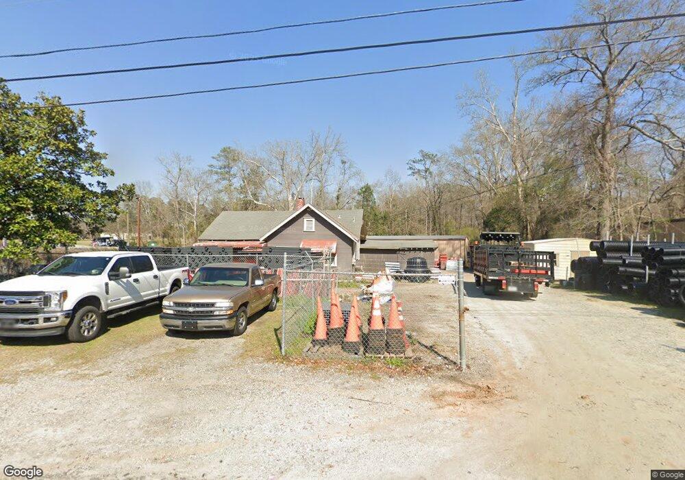
6280 Crystal Dr Columbus, GA 31907
Eastern Columbus NeighborhoodEstimated Value: $96,000 - $189,000
3
Beds
2
Baths
1,012
Sq Ft
$129/Sq Ft
Est. Value
About This Home
This home is located at 6280 Crystal Dr, Columbus, GA 31907 and is currently estimated at $130,563, approximately $129 per square foot. 6280 Crystal Dr is a home located in Muscogee County with nearby schools including Waddell Elementary School, Midland Middle School, and Hardaway High School.
Ownership History
Date
Name
Owned For
Owner Type
Purchase Details
Closed on
Apr 17, 2015
Sold by
Residential Tree Service L
Bought by
Burnette Gregory T and Burnette Michelle L
Current Estimated Value
Purchase Details
Closed on
Feb 2, 2009
Sold by
Barker Joseph D
Bought by
Residential Tree Service Llc
Home Financials for this Owner
Home Financials are based on the most recent Mortgage that was taken out on this home.
Original Mortgage
$25,000
Interest Rate
5.23%
Mortgage Type
Stand Alone Second
Create a Home Valuation Report for This Property
The Home Valuation Report is an in-depth analysis detailing your home's value as well as a comparison with similar homes in the area
Home Values in the Area
Average Home Value in this Area
Purchase History
| Date | Buyer | Sale Price | Title Company |
|---|---|---|---|
| Burnette Gregory T | $100,000 | -- | |
| Residential Tree Service Llc | -- | None Available | |
| Barker Joseph D | $75,000 | None Available |
Source: Public Records
Mortgage History
| Date | Status | Borrower | Loan Amount |
|---|---|---|---|
| Previous Owner | Barker Joseph D | $25,000 | |
| Previous Owner | Residential Tree Service Llc | $53,000 |
Source: Public Records
Tax History Compared to Growth
Tax History
| Year | Tax Paid | Tax Assessment Tax Assessment Total Assessment is a certain percentage of the fair market value that is determined by local assessors to be the total taxable value of land and additions on the property. | Land | Improvement |
|---|---|---|---|---|
| 2025 | $1,107 | $28,288 | $4,704 | $23,584 |
| 2024 | -- | $28,288 | $4,704 | $23,584 |
| 2023 | $940 | $28,288 | $4,704 | $23,584 |
| 2022 | $940 | $23,028 | $4,704 | $18,324 |
| 2021 | $720 | $17,636 | $4,704 | $12,932 |
| 2020 | $720 | $17,636 | $4,704 | $12,932 |
| 2019 | $723 | $17,636 | $4,704 | $12,932 |
| 2018 | $723 | $17,636 | $4,704 | $12,932 |
| 2017 | $725 | $17,636 | $4,704 | $12,932 |
| 2016 | $709 | $17,176 | $10,408 | $6,768 |
| 2015 | $709 | $17,176 | $10,408 | $6,768 |
| 2014 | -- | $17,176 | $10,408 | $6,768 |
| 2013 | -- | $17,176 | $10,408 | $6,768 |
Source: Public Records
Map
Nearby Homes
- 6215 Parker Dr
- 5434 Rockhurst Dr
- 5640 Lakeshore Rd
- 6236 Olde Towne Dr
- 4931 Woodruff Farm Rd
- 5804 Dearborn Ave
- 5717 Flat Rock Rd
- 4700 Bondale Dr
- 5966 Fornof Rd
- 5260 Woodruff Farm Rd
- 5018 Woodruff Farm Rd
- 4628 Sears Rd
- 7101 Cross Tie Dr
- 5590 Macon Rd
- 0 Bondale Dr Unit 11578793
- 5197 Kendal Ct
- 5408 Old Dominion Rd
- 5422 Colony Dr
- 5324 Colony Dr
- 6321 Milgen Rd Unit 3
- 6268 Crystal Dr
- 6300 Macon Rd
- 6247 Crystal Dr
- 6312 Macon Rd
- 6231 Crystal Dr
- 6301 Macon Rd
- 6234 Parker Dr
- 6228 Parker Dr
- 6222 Parker Dr
- 6240 Parker Dr
- 6216 Parker Dr
- 6300 Parker Dr
- 6324 Macon Rd
- 6208 Parker Dr
- 6306 Parker Dr
- 6213 Crystal Dr
- 6310 Parker Dr
- 0 Parker Dr Unit 8051584
- 6400 Macon Rd
- 6320 Thornhill Dr