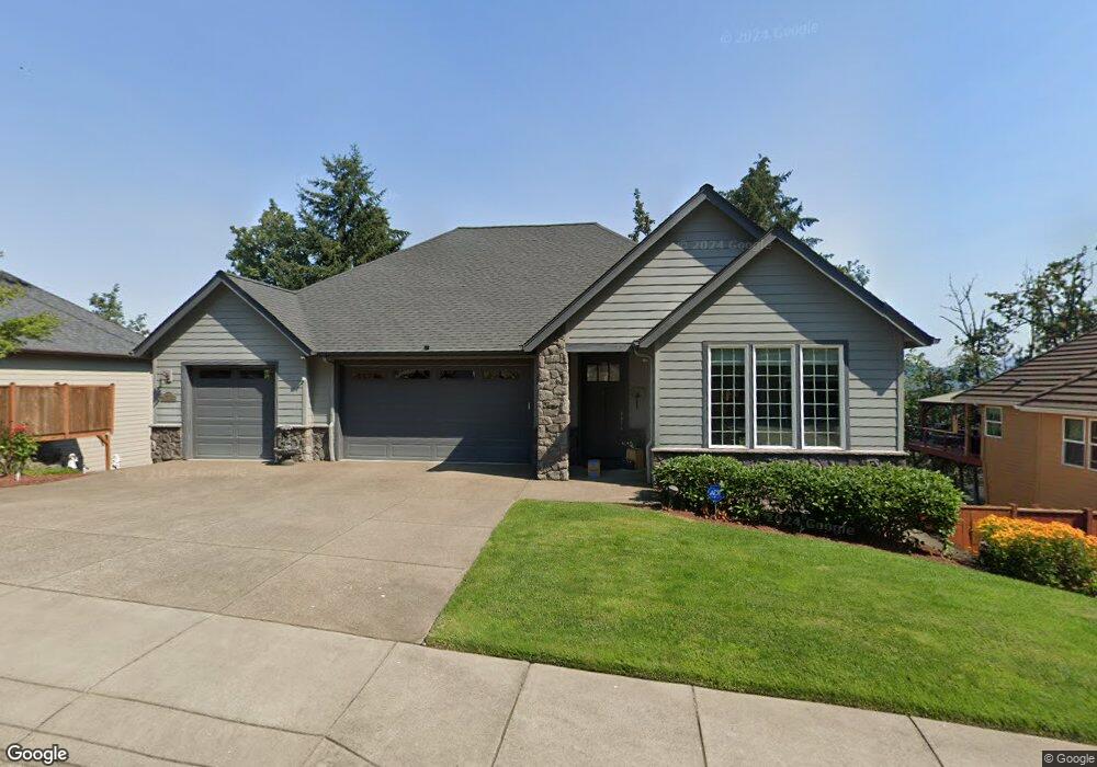
6280 Forest Ridge Rd Springfield, OR 97478
Thurston NeighborhoodEstimated Value: $788,600 - $980,000
4
Beds
4
Baths
2,022
Sq Ft
$435/Sq Ft
Est. Value
About This Home
This home is located at 6280 Forest Ridge Rd, Springfield, OR 97478 and is currently estimated at $879,533, approximately $434 per square foot. 6280 Forest Ridge Rd is a home located in Lane County with nearby schools including Ridgeview Elementary School, Agnes Stewart Middle School, and Thurston High School.
Ownership History
Date
Name
Owned For
Owner Type
Purchase Details
Closed on
Jun 30, 2010
Sold by
Thomas Walter Custom Homes Llc
Bought by
Ewing Dennis D and Ewing Kelly M
Current Estimated Value
Home Financials for this Owner
Home Financials are based on the most recent Mortgage that was taken out on this home.
Original Mortgage
$393,000
Outstanding Balance
$260,427
Interest Rate
4.82%
Mortgage Type
New Conventional
Estimated Equity
$619,106
Create a Home Valuation Report for This Property
The Home Valuation Report is an in-depth analysis detailing your home's value as well as a comparison with similar homes in the area
Home Values in the Area
Average Home Value in this Area
Purchase History
| Date | Buyer | Sale Price | Title Company |
|---|---|---|---|
| Ewing Dennis D | $520,370 | Cascade Title Co |
Source: Public Records
Mortgage History
| Date | Status | Borrower | Loan Amount |
|---|---|---|---|
| Open | Ewing Dennis D | $393,000 |
Source: Public Records
Tax History
| Year | Tax Paid | Tax Assessment Tax Assessment Total Assessment is a certain percentage of the fair market value that is determined by local assessors to be the total taxable value of land and additions on the property. | Land | Improvement |
|---|---|---|---|---|
| 2025 | $10,377 | $565,912 | -- | -- |
| 2024 | $10,209 | $549,430 | -- | -- |
| 2023 | $10,209 | $533,428 | $0 | $0 |
| 2022 | $9,456 | $517,892 | $0 | $0 |
| 2021 | $9,286 | $502,808 | $0 | $0 |
| 2020 | $9,015 | $488,164 | $0 | $0 |
| 2019 | $8,744 | $473,946 | $0 | $0 |
| 2018 | $8,242 | $446,740 | $0 | $0 |
| 2017 | $7,925 | $446,740 | $0 | $0 |
| 2016 | $7,759 | $433,728 | $0 | $0 |
| 2015 | $7,538 | $421,095 | $0 | $0 |
| 2014 | $7,424 | $408,830 | $0 | $0 |
Source: Public Records
Map
Nearby Homes
- 6225 Forest Ridge Dr
- 0 Forest Ridge Dr Unit 637211360
- 0 Forest Ridge Unit 520732026
- 320 Mountaingate Dr
- 6884 Forest Ridge Dr
- 6451 Dogwood St
- 193 62nd Place
- 5995 Main St
- 6445 B St
- 421 S 58th St
- 6540 B St
- 962 S 66th Place
- 994 S 67th St
- 5972 Mount Vernon Rd
- 967 S 66th Place
- 982 S 66th Place
- 250 68th St
- 6842 Jessica Dr
- 5736 A St
- 555 66th St
- 6242 Forest Ridge Rd
- 6300 Forest Ridge Rd
- 6251 Forest Ridge Dr
- 6251 Forest Ridge Dr Unit 110
- 6154 Forest Ridge Lot 72 Dr
- 6190 Forest Ridge Dr
- 6190 Forest Ridge Rd
- 6293 Forest Ridge Dr
- 6336 Forest Ridge Rd
- 6225 Forest Ridge Dr Unit 111
- 6336 Forest Ridge Dr
- 435 Mountaingate Dr
- 6333 Fernhill Ct
- 443 Mountaingate Dr
- 6357 Fernhill Ct
- 421 Mountaingate Dr
- 6189 Forest Ridge Dr
- 6189 Forest Ridge Rd
- 6362 Forest Ridge Dr Unit 78
- 6362 Forest Ridge Dr
Your Personal Tour Guide
Ask me questions while you tour the home.