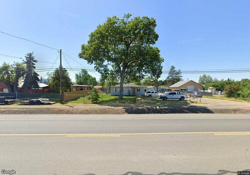
6283 Table Rock Rd Central Point, OR 97502
Estimated Value: $244,000 - $337,000
2
Beds
1
Bath
1,098
Sq Ft
$277/Sq Ft
Est. Value
About This Home
This home is located at 6283 Table Rock Rd, Central Point, OR 97502 and is currently estimated at $304,524, approximately $277 per square foot. 6283 Table Rock Rd is a home located in Jackson County with nearby schools including Sams Valley Elementary School, Scenic Middle School, and Crater High School.
Ownership History
Date
Name
Owned For
Owner Type
Purchase Details
Closed on
Oct 12, 2017
Sold by
Saxbury John R and Saxbury Pamela J
Bought by
Ball Sean
Current Estimated Value
Home Financials for this Owner
Home Financials are based on the most recent Mortgage that was taken out on this home.
Original Mortgage
$142,500
Outstanding Balance
$118,900
Interest Rate
3.78%
Mortgage Type
New Conventional
Estimated Equity
$185,624
Create a Home Valuation Report for This Property
The Home Valuation Report is an in-depth analysis detailing your home's value as well as a comparison with similar homes in the area
Home Values in the Area
Average Home Value in this Area
Purchase History
| Date | Buyer | Sale Price | Title Company |
|---|---|---|---|
| Ball Sean | $150,000 | First American Title |
Source: Public Records
Mortgage History
| Date | Status | Borrower | Loan Amount |
|---|---|---|---|
| Open | Ball Sean | $142,500 |
Source: Public Records
Tax History Compared to Growth
Tax History
| Year | Tax Paid | Tax Assessment Tax Assessment Total Assessment is a certain percentage of the fair market value that is determined by local assessors to be the total taxable value of land and additions on the property. | Land | Improvement |
|---|---|---|---|---|
| 2025 | $2,170 | $143,590 | $95,930 | $47,660 |
| 2024 | $2,170 | $139,410 | $54,730 | $84,680 |
| 2023 | $2,090 | $135,350 | $53,140 | $82,210 |
| 2022 | $1,851 | $135,350 | $53,140 | $82,210 |
| 2021 | $1,622 | $131,410 | $51,600 | $79,810 |
| 2020 | $1,575 | $127,590 | $50,090 | $77,500 |
| 2019 | $1,538 | $120,280 | $47,200 | $73,080 |
| 2018 | $1,491 | $116,780 | $45,820 | $70,960 |
| 2017 | $1,455 | $116,780 | $45,820 | $70,960 |
| 2016 | $1,413 | $110,080 | $43,190 | $66,890 |
| 2015 | $1,347 | $110,080 | $43,190 | $66,890 |
| 2014 | $1,312 | $103,770 | $40,720 | $63,050 |
Source: Public Records
Map
Nearby Homes
- 644 Raven
- 225 Wilson Rd
- 6850 Downing Rd Unit 44
- 6850 Downing Rd Unit 65
- 1729 E Gregory Rd
- 2035 Rabun Way
- 2598 St James Way
- 2330 Savannah Dr
- 5156 Peace Ln
- 2248 Evan Way
- 1409 Twin Rocks Dr
- 2225 New Haven Dr
- 1182 E Justice Rd
- 4922 Gebhard Rd
- 6348 Crater Lake Hwy
- 4824 Airway Dr Unit 371W06BB410
- 6199 Wilson Ln
- 705 Mountain Ave
- 4595 Table Rock Rd
- 4676 Industry Dr
- 6253 Table Rock Rd
- 42 Gibbon Rd
- 6303 Table Rock Rd
- 80 Gibbon Rd
- 6205 Table Rock Rd
- 31 Gibbon Rd
- 6331 Table Rock Rd
- 6240 Table Rock Rd
- 61 Gibbon Rd
- 231 Esther Way
- 112 Gibbon Rd
- 6405 Table Rock Rd
- 6343 Table Rock Rd
- 6198 Table Rock Rd
- 138 Gibbon Rd
- 6419 Table Rock Rd
- 161 Gibbon Rd
- 166 Gibbon Rd
- 6134 Table Rock Rd
- 191 Esther Way