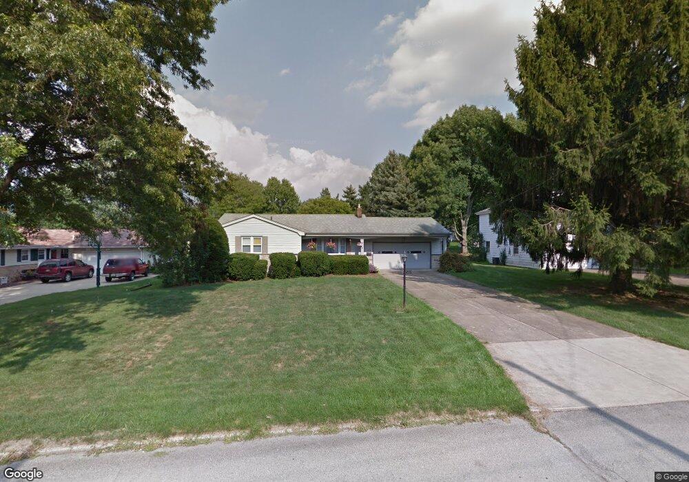
6285 Apache Ln Youngstown, OH 44514
Estimated Value: $220,910 - $256,000
3
Beds
3
Baths
1,272
Sq Ft
$189/Sq Ft
Est. Value
About This Home
This home is located at 6285 Apache Ln, Youngstown, OH 44514 and is currently estimated at $240,978, approximately $189 per square foot. 6285 Apache Ln is a home located in Mahoning County with nearby schools including Poland Union Elementary School, Poland Middle School, and Poland Seminary High School.
Ownership History
Date
Name
Owned For
Owner Type
Purchase Details
Closed on
Sep 26, 1995
Sold by
Est Eric A Hoyer
Bought by
Murberger Edward S and Murberger Elizabeth A
Current Estimated Value
Home Financials for this Owner
Home Financials are based on the most recent Mortgage that was taken out on this home.
Original Mortgage
$60,000
Interest Rate
7.78%
Mortgage Type
New Conventional
Purchase Details
Closed on
Jun 3, 1988
Bought by
Hoyer Eric A
Create a Home Valuation Report for This Property
The Home Valuation Report is an in-depth analysis detailing your home's value as well as a comparison with similar homes in the area
Purchase History
| Date | Buyer | Sale Price | Title Company |
|---|---|---|---|
| Murberger Edward S | $95,000 | -- | |
| Hoyer Eric A | -- | -- |
Source: Public Records
Mortgage History
| Date | Status | Borrower | Loan Amount |
|---|---|---|---|
| Closed | Murberger Edward S | $60,000 |
Source: Public Records
Tax History
| Year | Tax Paid | Tax Assessment Tax Assessment Total Assessment is a certain percentage of the fair market value that is determined by local assessors to be the total taxable value of land and additions on the property. | Land | Improvement |
|---|---|---|---|---|
| 2025 | $2,828 | $59,390 | $10,470 | $48,920 |
| 2024 | $2,912 | $59,390 | $10,470 | $48,920 |
| 2023 | $2,845 | $59,390 | $10,470 | $48,920 |
| 2022 | $2,434 | $42,470 | $10,470 | $32,000 |
| 2021 | $2,322 | $42,470 | $10,470 | $32,000 |
| 2020 | $2,332 | $42,470 | $10,470 | $32,000 |
| 2019 | $2,093 | $35,470 | $10,470 | $25,000 |
| 2018 | $1,961 | $35,470 | $10,470 | $25,000 |
| 2017 | $2,000 | $35,470 | $10,470 | $25,000 |
| 2016 | $2,042 | $35,140 | $10,470 | $24,670 |
| 2015 | $1,998 | $35,140 | $10,470 | $24,670 |
| 2014 | $1,507 | $35,140 | $10,470 | $24,670 |
| 2013 | $1,487 | $35,140 | $10,470 | $24,670 |
Source: Public Records
Map
Nearby Homes
- 6074 Frontier Dr
- 6534 Diana Dr
- 154 Rocky Ledge Dr
- 6137 Acatello Place
- 0 Clingan Rd Unit 4461196
- 172 Lakeshore Dr
- 2295 Bel Aire Ln
- 232 Edna St
- 6695 Clingan Rd Unit 24
- 6695 Clingan Rd Unit 10
- 6695 Clingan Rd Unit 32
- 6695 Clingan Rd Unit 4
- 43 Greystone
- 2350 Hamilton Ave
- 118 N Main St
- 6829 Katahdin Dr
- 43 Venloe Dr
- 112 N Lima Rd
- 2370 Lyon Blvd
- 50 College St
- 6301 Apache Ln
- 6271 Apache Ln
- 6319 Apache Ln
- 6255 Apache Ln
- 6292 Pawnee Place
- 6276 Pawnee Place
- 6260 Pawnee Place
- 6284 Apache Ln
- 6241 Apache Ln
- 6298 Apache Ln
- 6337 Apache Ln
- 6270 Apache Ln
- 6318 Apache Ln
- 6326 Pawnee Place
- 6244 Pawnee Place
- 6252 Apache Ln
- 6225 Apache Ln
- 6334 Apache Ln
- 6357 Apache Ln
- 6344 Pawnee Place
Your Personal Tour Guide
Ask me questions while you tour the home.