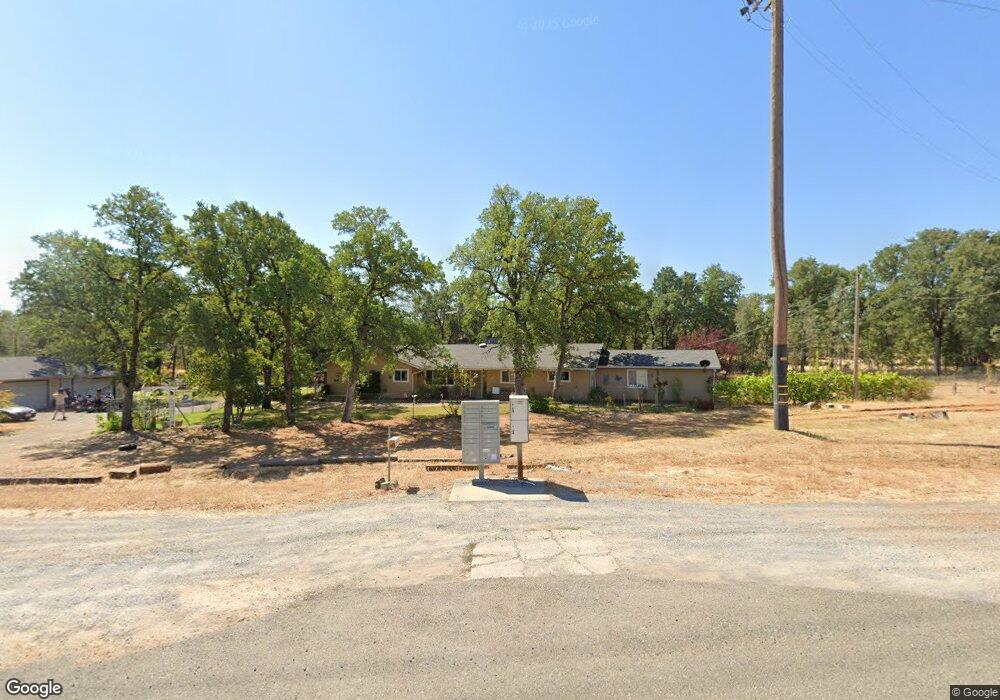
6285 Oasis Rd Redding, CA 96003
Gold Hills NeighborhoodEstimated Value: $388,339 - $417,000
3
Beds
2
Baths
1,670
Sq Ft
$242/Sq Ft
Est. Value
About This Home
This home is located at 6285 Oasis Rd, Redding, CA 96003 and is currently estimated at $404,835, approximately $242 per square foot. 6285 Oasis Rd is a home located in Shasta County with nearby schools including Redding STEM Academy.
Ownership History
Date
Name
Owned For
Owner Type
Purchase Details
Closed on
Feb 13, 2003
Sold by
Domyan Deborah
Bought by
Hobbs Judy
Current Estimated Value
Home Financials for this Owner
Home Financials are based on the most recent Mortgage that was taken out on this home.
Original Mortgage
$103,935
Outstanding Balance
$49,335
Interest Rate
7.45%
Estimated Equity
$355,500
Purchase Details
Closed on
Dec 19, 2002
Sold by
Hobbs Harold
Bought by
Hobbs Judy
Home Financials for this Owner
Home Financials are based on the most recent Mortgage that was taken out on this home.
Original Mortgage
$103,935
Outstanding Balance
$49,335
Interest Rate
7.45%
Estimated Equity
$355,500
Purchase Details
Closed on
Sep 9, 1999
Sold by
Revocable Trust Stewart John M & Margaret K F and Stewart John M
Bought by
Perkins Virginia L
Home Financials for this Owner
Home Financials are based on the most recent Mortgage that was taken out on this home.
Original Mortgage
$76,000
Interest Rate
7.89%
Create a Home Valuation Report for This Property
The Home Valuation Report is an in-depth analysis detailing your home's value as well as a comparison with similar homes in the area
Home Values in the Area
Average Home Value in this Area
Purchase History
| Date | Buyer | Sale Price | Title Company |
|---|---|---|---|
| Hobbs Judy | $159,900 | First American Title Co | |
| Hobbs Judy | -- | First American Title Co | |
| Perkins Virginia L | $95,000 | First American Title Co |
Source: Public Records
Mortgage History
| Date | Status | Borrower | Loan Amount |
|---|---|---|---|
| Open | Hobbs Judy | $103,935 | |
| Previous Owner | Perkins Virginia L | $76,000 |
Source: Public Records
Tax History
| Year | Tax Paid | Tax Assessment Tax Assessment Total Assessment is a certain percentage of the fair market value that is determined by local assessors to be the total taxable value of land and additions on the property. | Land | Improvement |
|---|---|---|---|---|
| 2025 | $3,203 | $272,682 | $72,401 | $200,281 |
| 2024 | $3,143 | $267,336 | $70,982 | $196,354 |
| 2023 | $3,143 | $262,095 | $69,591 | $192,504 |
| 2022 | $3,046 | $256,957 | $68,227 | $188,730 |
| 2021 | $3,017 | $251,920 | $66,890 | $185,030 |
| 2020 | $3,005 | $249,338 | $66,205 | $183,133 |
| 2019 | $2,916 | $244,450 | $64,907 | $179,543 |
| 2018 | $2,910 | $239,658 | $63,635 | $176,023 |
| 2017 | $2,863 | $234,960 | $62,388 | $172,572 |
| 2016 | $2,744 | $230,354 | $61,165 | $169,189 |
| 2015 | $2,702 | $226,895 | $60,247 | $166,648 |
| 2014 | $2,710 | $222,451 | $59,067 | $163,384 |
Source: Public Records
Map
Nearby Homes
- 6298 Oasis Rd
- 6014 Mid Drive Trail
- 12249 Manzanoaks Dr
- 2132 Hope Ln
- 1779 Player Ct
- 6260 Carmel Dr
- 6050 Gleneagles Ct
- 1546 Gold Hills Dr
- 000 Wintu Way
- 1672 Saint Andrews Dr
- 3257 Sioux Dr
- 3460 Tomahawk Trail
- 12765 Akrich St
- 12009 Theresa Ln
- 3097 Butterfly Ln
- 0000 Witch Way
- 4344 Epping Ct
- 12723 Old Oregon Trail
- 6040 Constitution Way
- 19340 Carnegie Ct
- 6260 Oasis Rd
- 6280 Oasis Rd
- 6280 Oasis Rd
- 6111 Oasis Rd
- 6401 Oasis Rd
- 6248 Oasis Rd
- 6246 Oasis Rd
- 6588 Bandito Dr
- 6572 Bandito Dr
- 1095 Crooked Oak Ln
- 6564 Bandito Dr
- 6556 Bandito Dr
- 0000 Cool Breeze Way
- 6046 Mid Drive Trail
- 6542 Bandito Dr
- 6044 Mid Drive Trail
- 6042 Mid Drive Trail
- 6040 Mid Drive Trail
- 6030 Mid Drive Trail
- 6028 Mid Drive Trail
Your Personal Tour Guide
Ask me questions while you tour the home.