6288 32nd Ave Shellsburg, IA 52332
Estimated Value: $361,000 - $529,454
2
Beds
2
Baths
2,006
Sq Ft
$214/Sq Ft
Est. Value
About This Home
This home is located at 6288 32nd Ave, Shellsburg, IA 52332 and is currently estimated at $429,485, approximately $214 per square foot. 6288 32nd Ave is a home located in Benton County with nearby schools including Shellsburg Elementary School, Vinton-Shellsburg Middle School, and Vinton-Shellsburg High School.
Ownership History
Date
Name
Owned For
Owner Type
Purchase Details
Closed on
Jul 27, 2007
Sold by
Travis Sue A
Bought by
Duffy Thomas J
Current Estimated Value
Home Financials for this Owner
Home Financials are based on the most recent Mortgage that was taken out on this home.
Original Mortgage
$244,375
Outstanding Balance
$154,410
Interest Rate
6.71%
Mortgage Type
Construction
Estimated Equity
$275,075
Create a Home Valuation Report for This Property
The Home Valuation Report is an in-depth analysis detailing your home's value as well as a comparison with similar homes in the area
Purchase History
| Date | Buyer | Sale Price | Title Company |
|---|---|---|---|
| Duffy Thomas J | $247,000 | None Available |
Source: Public Records
Mortgage History
| Date | Status | Borrower | Loan Amount |
|---|---|---|---|
| Open | Duffy Thomas J | $244,375 |
Source: Public Records
Tax History
| Year | Tax Paid | Tax Assessment Tax Assessment Total Assessment is a certain percentage of the fair market value that is determined by local assessors to be the total taxable value of land and additions on the property. | Land | Improvement |
|---|---|---|---|---|
| 2025 | $3,882 | $339,100 | $25,600 | $313,500 |
| 2024 | $3,882 | $296,900 | $6,200 | $290,700 |
| 2023 | $3,606 | $296,900 | $6,200 | $290,700 |
| 2022 | $3,528 | $238,700 | $4,700 | $234,000 |
| 2021 | $3,528 | $233,500 | $4,900 | $228,600 |
| 2020 | $2,838 | $201,800 | $4,800 | $197,000 |
| 2019 | $2,658 | $213,400 | $16,400 | $197,000 |
| 2018 | $2,556 | $189,700 | $6,400 | $183,300 |
| 2017 | $2,458 | $188,300 | $6,400 | $181,900 |
| 2016 | $2,386 | $177,300 | $7,800 | $169,500 |
| 2015 | $2,386 | $177,300 | $7,800 | $169,500 |
| 2014 | $2,168 | $163,400 | $0 | $0 |
Source: Public Records
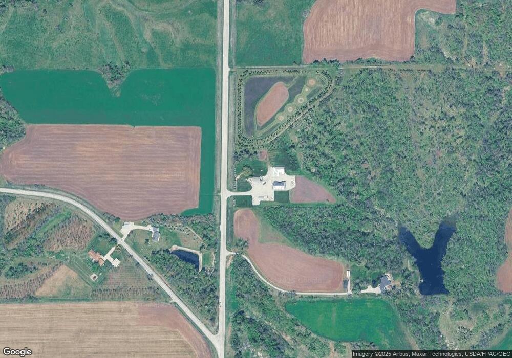
Map
Nearby Homes
- 208 Northgate St NW
- 201 Grove St NW
- 6240 33rd Avenue Dr
- 401 Main St NW
- 0 31st Ave
- 6127 32nd Ave Unit Lot 3
- 101 Meadow Dr
- 103 Meadow Dr
- 105 Meadow Dr
- 804 Fairway Dr
- 700 Sunset Blvd
- 301 Wildcat Ct
- 3127 61st Street Ln
- 5995 32nd Ave
- 2541 61st Street Ln Unit Lot 9
- 2767 61st Street Trail
- 3090 59th Saint Trail
- 737 Indigo Dr
- 926 Indigo Dr
- 819 Indigo Dr
- 3187 62nd Street Trail
- 6290 32nd Ave
- 6312 32nd Ave
- 6338 32nd Ave
- 3175 62nd Street Trail
- 3168 62nd Street Trail
- 3168 62nd Street Trail
- 3167 62nd Street Trail
- 3164 62nd Street Trail
- 6340 32nd Ave
- 6346 32nd Ave
- 3248 62nd St
- 3159 62nd Street Trail
- 3181 63rd Street Dr
- 3183 63rd Street Dr
- 3179 63rd Street Dr
- 6209 32nd Ave
- 6250 31st Ave
- 6213 32nd Ave
- 6215 32nd Ave
Your Personal Tour Guide
Ask me questions while you tour the home.