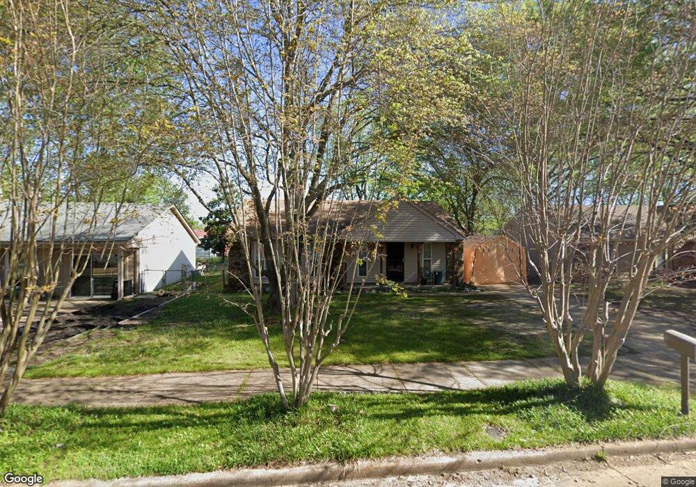
6288 Brockman Dr Millington, TN 38053
Estimated Value: $129,000 - $175,000
3
Beds
2
Baths
1,096
Sq Ft
$136/Sq Ft
Est. Value
About This Home
This home is located at 6288 Brockman Dr, Millington, TN 38053 and is currently estimated at $149,112, approximately $136 per square foot. 6288 Brockman Dr is a home located in Shelby County with nearby schools including Millington Elementary School and Millington High School.
Ownership History
Date
Name
Owned For
Owner Type
Purchase Details
Closed on
Jul 31, 2018
Sold by
Hancock Rondell L and Hancock Laura W
Bought by
Griggs Randy Mcclure
Current Estimated Value
Home Financials for this Owner
Home Financials are based on the most recent Mortgage that was taken out on this home.
Original Mortgage
$75,000
Outstanding Balance
$65,134
Interest Rate
4.5%
Mortgage Type
New Conventional
Estimated Equity
$83,978
Purchase Details
Closed on
Jul 11, 2005
Sold by
Hancock Laura W Abby
Bought by
Hancock Rondell L
Home Financials for this Owner
Home Financials are based on the most recent Mortgage that was taken out on this home.
Original Mortgage
$50,000
Interest Rate
5.54%
Mortgage Type
New Conventional
Create a Home Valuation Report for This Property
The Home Valuation Report is an in-depth analysis detailing your home's value as well as a comparison with similar homes in the area
Home Values in the Area
Average Home Value in this Area
Purchase History
| Date | Buyer | Sale Price | Title Company |
|---|---|---|---|
| Griggs Randy Mcclure | $75,000 | None Available | |
| Hancock Rondell L | -- | -- |
Source: Public Records
Mortgage History
| Date | Status | Borrower | Loan Amount |
|---|---|---|---|
| Open | Griggs Randy Mcclure | $75,000 | |
| Previous Owner | Hancock Rondell L | $50,000 |
Source: Public Records
Tax History Compared to Growth
Tax History
| Year | Tax Paid | Tax Assessment Tax Assessment Total Assessment is a certain percentage of the fair market value that is determined by local assessors to be the total taxable value of land and additions on the property. | Land | Improvement |
|---|---|---|---|---|
| 2025 | $727 | $34,175 | $2,625 | $31,550 |
| 2024 | $727 | $21,450 | $2,250 | $19,200 |
| 2023 | $727 | $21,450 | $2,250 | $19,200 |
| 2022 | $727 | $21,450 | $2,250 | $19,200 |
| 2021 | $740 | $21,450 | $2,250 | $19,200 |
| 2020 | $574 | $14,175 | $2,250 | $11,925 |
| 2019 | $574 | $14,175 | $2,250 | $11,925 |
| 2018 | $574 | $14,175 | $2,250 | $11,925 |
| 2017 | $583 | $14,175 | $2,250 | $11,925 |
| 2016 | $619 | $14,175 | $0 | $0 |
| 2014 | $619 | $14,175 | $0 | $0 |
Source: Public Records
Map
Nearby Homes
- 6296 Woodgreen Dr
- 6367 Raible Dr
- 7702 Marvin Rd
- 7881 Sherman Rd
- 7783 Commodore Rd
- 7804 Commodore Rd
- 7814 Commodore Rd
- 6948 Northknoll Ave
- 7754 Shamrock Rd
- 7825 Mahoney Rd
- 0 Bethuel Rd Unit 1
- 0 Sledge Rd
- 7194 Millington Arlington Rd
- 6125 Pleasant Ridge Rd
- 5557 Shipp Rd
- 5553 Shipp Rd
- 5545 Shipp Rd
- 5119 Shellback Dr
- 5517 Shipp Rd
- 5037 Shellback Dr
- 6294 Brockman Dr
- 6280 Brockman Dr
- 6291 Raible Dr
- 6297 Raible Dr
- 6285 Raible Dr
- 6287 Brockman Dr
- 6303 Raible Dr
- 6293 Brockman Dr
- 6306 Brockman Dr
- 6279 Brockman Dr
- 6299 Brockman Dr
- 6309 Raible Dr
- 6312 Brockman Dr
- 6305 Brockman Dr
- 6315 Raible Dr
- 6292 Raible Dr
- 6284 Leamont Dr
- 6292 Leamont Dr
- 6286 Raible Dr
- 6298 Raible Dr