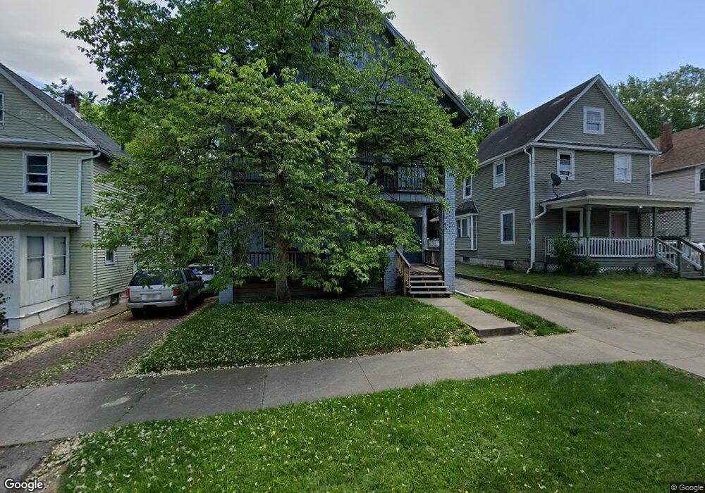
629 Kling St Akron, OH 44311
Downtown Akron NeighborhoodEstimated Value: $95,000 - $176,000
4
Beds
3
Baths
2,333
Sq Ft
$57/Sq Ft
Est. Value
About This Home
This home is located at 629 Kling St, Akron, OH 44311 and is currently estimated at $132,438, approximately $56 per square foot. 629 Kling St is a home located in Summit County with nearby schools including North High School, Main Preparatory Academy, and St. Bernard-St. Mary Elementary School.
Ownership History
Date
Name
Owned For
Owner Type
Purchase Details
Closed on
May 4, 1999
Sold by
Duncan James R and Duncan Kimberly D
Bought by
Russell Richard A and Russell Tara
Current Estimated Value
Home Financials for this Owner
Home Financials are based on the most recent Mortgage that was taken out on this home.
Original Mortgage
$44,800
Outstanding Balance
$14,191
Interest Rate
9.75%
Estimated Equity
$118,247
Purchase Details
Closed on
Sep 25, 1995
Sold by
Est Joseph Caper
Bought by
Duncan James R and Duncan Kimberly D
Home Financials for this Owner
Home Financials are based on the most recent Mortgage that was taken out on this home.
Original Mortgage
$28,000
Interest Rate
7.78%
Mortgage Type
New Conventional
Create a Home Valuation Report for This Property
The Home Valuation Report is an in-depth analysis detailing your home's value as well as a comparison with similar homes in the area
Home Values in the Area
Average Home Value in this Area
Purchase History
| Date | Buyer | Sale Price | Title Company |
|---|---|---|---|
| Russell Richard A | $56,000 | Endress/Lawyers Title | |
| Duncan James R | $40,000 | -- |
Source: Public Records
Mortgage History
| Date | Status | Borrower | Loan Amount |
|---|---|---|---|
| Open | Russell Richard A | $44,800 | |
| Previous Owner | Duncan James R | $28,000 |
Source: Public Records
Tax History Compared to Growth
Tax History
| Year | Tax Paid | Tax Assessment Tax Assessment Total Assessment is a certain percentage of the fair market value that is determined by local assessors to be the total taxable value of land and additions on the property. | Land | Improvement |
|---|---|---|---|---|
| 2025 | $3,477 | $40,562 | $6,458 | $34,104 |
| 2024 | $2,284 | $40,562 | $6,458 | $34,104 |
| 2023 | $3,477 | $40,562 | $6,458 | $34,104 |
| 2022 | $1,948 | $26,863 | $4,277 | $22,586 |
| 2021 | $1,874 | $26,863 | $4,277 | $22,586 |
| 2020 | $1,846 | $26,870 | $4,280 | $22,590 |
| 2019 | $1,215 | $15,710 | $3,290 | $12,420 |
| 2018 | $1,200 | $15,710 | $3,290 | $12,420 |
| 2017 | $1,218 | $15,710 | $3,290 | $12,420 |
| 2016 | $1,219 | $15,710 | $3,290 | $12,420 |
| 2015 | $1,218 | $15,710 | $3,290 | $12,420 |
| 2014 | $1,251 | $15,710 | $3,290 | $12,420 |
| 2013 | $1,381 | $18,480 | $3,290 | $15,190 |
Source: Public Records
Map
Nearby Homes
- 442 E Thornton St
- 656 Kling St Unit 2
- 633 Brown St
- 370 E Thornton St
- 448 E Voris St
- 634 Spicer St
- 381 Bethwayne Ct
- 386 E Voris St
- 687 Allyn St
- 685 Brown St
- 380 Cross St Unit 382
- 653 Sumner St
- 628, 634 & 636 Sumner St Unit 6 units
- 678 Sumner St Unit 682
- 298 Sumner Ct
- 294 Sumner Ct
- 502 Beacon St
- 590 and 596 Sumner St
- 281 E Thornton St
- 495 Beacon St