629 Mciver Rd Great Falls, MT 59404
Estimated Value: $298,000 - $653,000
4
Beds
4
Baths
2,586
Sq Ft
$199/Sq Ft
Est. Value
About This Home
This home is located at 629 Mciver Rd, Great Falls, MT 59404 and is currently estimated at $515,626, approximately $199 per square foot. 629 Mciver Rd is a home located in Cascade County with nearby schools including West Elementary School, North Middle School, and C.M. Russell High School.
Ownership History
Date
Name
Owned For
Owner Type
Purchase Details
Closed on
Dec 3, 2012
Sold by
Miner Wyley J
Bought by
Miner Wyley J and Miner Jaime N
Current Estimated Value
Home Financials for this Owner
Home Financials are based on the most recent Mortgage that was taken out on this home.
Original Mortgage
$190,435
Outstanding Balance
$131,878
Interest Rate
3.36%
Estimated Equity
$383,748
Purchase Details
Closed on
Mar 16, 2009
Sold by
Winslow Glenn and Winslow Polly
Bought by
Miner Wyley J
Home Financials for this Owner
Home Financials are based on the most recent Mortgage that was taken out on this home.
Original Mortgage
$200,000
Interest Rate
5.03%
Purchase Details
Closed on
Mar 20, 2006
Sold by
Eustance Marilyn J
Bought by
Winslow Polly S
Create a Home Valuation Report for This Property
The Home Valuation Report is an in-depth analysis detailing your home's value as well as a comparison with similar homes in the area
Home Values in the Area
Average Home Value in this Area
Purchase History
| Date | Buyer | Sale Price | Title Company |
|---|---|---|---|
| Miner Wyley J | -- | Stewart Title | |
| Miner Wyley J | -- | Stgf | |
| Winslow Polly S | -- | Chicago Title Insurance Comp |
Source: Public Records
Mortgage History
| Date | Status | Borrower | Loan Amount |
|---|---|---|---|
| Open | Miner Wyley J | $190,435 | |
| Previous Owner | Miner Wyley J | $200,000 |
Source: Public Records
Tax History Compared to Growth
Tax History
| Year | Tax Paid | Tax Assessment Tax Assessment Total Assessment is a certain percentage of the fair market value that is determined by local assessors to be the total taxable value of land and additions on the property. | Land | Improvement |
|---|---|---|---|---|
| 2025 | $2,100 | $496,300 | $0 | $0 |
| 2024 | $2,929 | $379,600 | $0 | $0 |
| 2023 | $2,870 | $379,600 | $0 | $0 |
| 2022 | $2,402 | $277,100 | $0 | $0 |
| 2021 | $2,239 | $277,100 | $0 | $0 |
| 2020 | $2,408 | $273,100 | $0 | $0 |
| 2019 | $2,284 | $273,100 | $0 | $0 |
| 2018 | $2,137 | $248,000 | $0 | $0 |
| 2017 | $2,062 | $248,000 | $0 | $0 |
| 2016 | $1,860 | $242,600 | $0 | $0 |
| 2015 | $1,743 | $242,600 | $0 | $0 |
| 2014 | $1,798 | $121,327 | $0 | $0 |
Source: Public Records
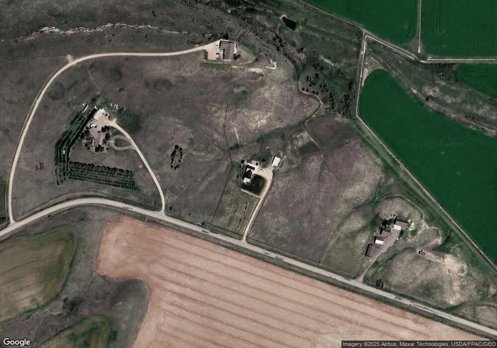
Map
Nearby Homes
- TBD Haven Ln
- TBD S Manchester Rd
- 58 Prairie Dog Ln
- 16 Libra Ln
- 233 Washington Blvd
- 301 Airport Bench Rd
- Nhn Vaughn South Frontage Rd
- Nhn Vaughn South Frontage Rd Unit 160 acres
- 237 Airport Bench Rd
- TBD Scorpio Dr
- 143 Leo Ln
- 55 Leo Ln
- 90 Leo Ln
- 130 Meadows Loop
- 935 1st Ave
- 380 Central Ave
- 1140 5th Ave
- 1121 3rd Ave
- 57 Sun View Ln
- 29 12th St