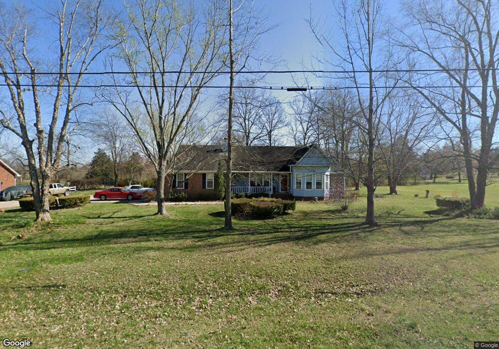
629 Meadowlark Dr Shelbyville, TN 37160
Estimated Value: $295,741 - $369,000
--
Bed
2
Baths
1,425
Sq Ft
$239/Sq Ft
Est. Value
About This Home
This home is located at 629 Meadowlark Dr, Shelbyville, TN 37160 and is currently estimated at $339,935, approximately $238 per square foot. 629 Meadowlark Dr is a home located in Bedford County with nearby schools including Liberty Elementary School and Victory Baptist Academy.
Ownership History
Date
Name
Owned For
Owner Type
Purchase Details
Closed on
Jun 13, 2025
Sold by
Graves Shawn Travis
Bought by
Burt Brandy Nicole
Current Estimated Value
Purchase Details
Closed on
Jan 27, 2025
Sold by
Patterson James L
Bought by
Graves Brandy N
Purchase Details
Closed on
Aug 28, 1991
Bought by
Patterson James L and Patterson Ann M
Purchase Details
Closed on
May 15, 1985
Bought by
Cannon Mark C and Cannon Janis D
Purchase Details
Closed on
Jan 3, 1985
Purchase Details
Closed on
Jan 2, 1985
Purchase Details
Closed on
Jan 1, 1985
Create a Home Valuation Report for This Property
The Home Valuation Report is an in-depth analysis detailing your home's value as well as a comparison with similar homes in the area
Home Values in the Area
Average Home Value in this Area
Purchase History
| Date | Buyer | Sale Price | Title Company |
|---|---|---|---|
| Burt Brandy Nicole | -- | None Listed On Document | |
| Graves Brandy N | -- | None Listed On Document | |
| Patterson James L | $80,000 | -- | |
| Cannon Mark C | -- | -- | |
| -- | -- | -- | |
| -- | $73,000 | -- | |
| -- | $5,000 | -- |
Source: Public Records
Tax History Compared to Growth
Tax History
| Year | Tax Paid | Tax Assessment Tax Assessment Total Assessment is a certain percentage of the fair market value that is determined by local assessors to be the total taxable value of land and additions on the property. | Land | Improvement |
|---|---|---|---|---|
| 2025 | $1,142 | $59,450 | $0 | $0 |
| 2024 | $1,142 | $49,125 | $10,625 | $38,500 |
| 2023 | $1,142 | $49,125 | $10,625 | $38,500 |
| 2022 | $1,142 | $49,125 | $10,625 | $38,500 |
| 2021 | $965 | $49,125 | $10,625 | $38,500 |
| 2020 | $890 | $49,125 | $10,625 | $38,500 |
| 2019 | $890 | $33,475 | $6,325 | $27,150 |
| 2018 | $857 | $33,475 | $6,325 | $27,150 |
| 2017 | $857 | $33,475 | $6,325 | $27,150 |
| 2016 | $844 | $33,475 | $6,325 | $27,150 |
| 2015 | $844 | $33,475 | $6,325 | $27,150 |
| 2014 | $691 | $30,452 | $0 | $0 |
Source: Public Records
Map
Nearby Homes
- 0 Highway 130 E
- 1519 Highway 130 E
- 1413 Highway 130 E
- 201 Sulphur Springs Rd
- 0 Himesville Rd
- 128 Riverlake Rd
- 339 Riverbend Country Club Rd
- 1024 Tennessee 64
- 1725 Wartrace Pike
- 215 Coney Island Rd
- 102 Germantown Rd
- 231 Riverbend Country Club Rd
- 315 Woodland Dr
- 211 S Fairoak St
- 222 Carter St
- 209 Gladys Dr
- 495 Himesville Rd
- 1404 Cypress St
- 107 Rockwood Dr
- 455 Himesville Rd
- 625 Meadowlark Dr
- 632 Meadowlark Dr
- 624 Meadowlark Dr
- 1605 Highway 130 E
- 110 Cardinal Hill Rd
- 633 Meadowlark Dr
- 101 Towhee Trail
- 109 Cardinal Hill Rd
- 617 Meadowlark Dr
- 1521 Highway 130 E
- 108 Cardinal Hill Rd
- 1607 Highway 130 E
- 103 Towhee Trail
- 1519 Tennessee 130
- 0 130 E
- 2 Highway 130 E
- 1 Highway 130 E
- 107 Cardinal Hill Rd
- 1519 1519 Hwy 130-E
- 105 Towhee Trail