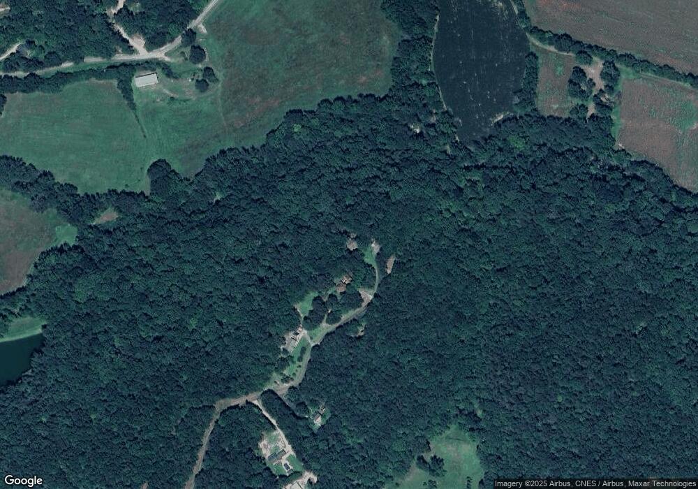
629 Pheasant Mountain Rd Toccoa, GA 30577
Estimated Value: $272,701 - $329,000
3
Beds
2
Baths
1,316
Sq Ft
$232/Sq Ft
Est. Value
About This Home
This home is located at 629 Pheasant Mountain Rd, Toccoa, GA 30577 and is currently estimated at $305,900, approximately $232 per square foot. 629 Pheasant Mountain Rd is a home located in Stephens County with nearby schools including Stephens County High School.
Ownership History
Date
Name
Owned For
Owner Type
Purchase Details
Closed on
Jul 20, 2021
Sold by
Towe Richard D
Bought by
Towe Richard D and Towe Korbin Alexander
Current Estimated Value
Purchase Details
Closed on
Jan 8, 2013
Sold by
Towe Kristi Michelle
Bought by
Towe Richard D
Purchase Details
Closed on
May 1, 1994
Bought by
Towe Richard D and Kristi Michelle
Purchase Details
Closed on
May 1, 1990
Bought by
<Buyer Info Not Present>
Create a Home Valuation Report for This Property
The Home Valuation Report is an in-depth analysis detailing your home's value as well as a comparison with similar homes in the area
Home Values in the Area
Average Home Value in this Area
Purchase History
| Date | Buyer | Sale Price | Title Company |
|---|---|---|---|
| Towe Richard D | -- | -- | |
| Towe Richard D | -- | -- | |
| Towe Richard D | -- | -- | |
| <Buyer Info Not Present> | $8,000 | -- |
Source: Public Records
Tax History Compared to Growth
Tax History
| Year | Tax Paid | Tax Assessment Tax Assessment Total Assessment is a certain percentage of the fair market value that is determined by local assessors to be the total taxable value of land and additions on the property. | Land | Improvement |
|---|---|---|---|---|
| 2024 | $1,437 | $49,188 | $8,640 | $40,548 |
| 2023 | $802 | $46,334 | $8,640 | $37,694 |
| 2022 | $1,258 | $44,263 | $8,640 | $35,623 |
| 2021 | $1,228 | $41,263 | $8,640 | $32,623 |
| 2020 | $1,240 | $41,272 | $8,640 | $32,632 |
| 2019 | $1,245 | $41,272 | $8,640 | $32,632 |
| 2018 | $1,245 | $41,272 | $8,640 | $32,632 |
| 2017 | $1,265 | $41,272 | $8,640 | $32,632 |
| 2016 | $1,245 | $41,271 | $8,640 | $32,631 |
| 2015 | $1,292 | $40,894 | $8,640 | $32,254 |
| 2014 | $1,313 | $40,880 | $8,640 | $32,240 |
| 2013 | -- | $40,720 | $8,480 | $32,240 |
Source: Public Records
Map
Nearby Homes
- 0 Windsor Dr Unit 19917556
- 0 Windsor Dr Unit 20177615
- 126 Carolina Dr
- 593 Cross Creek Dr
- 358 Riverdale Rd
- 811 Prather Bridge Rd
- 73 Ridgeview Heights
- 0 Hillendale Dr Unit 7660500
- 0 Hillendale Dr Unit 10618602
- 596 Watson St
- 619 Watson St
- 850 Long Rd
- 43 Mountain View Dr
- 171 Quail Forest Cir
- 1168 Rosedale St
- 84 Oak Creek Cir
- 1222 E Tugalo St
- 139 Myrtle St
- 31 Craig St
- 0 Moreland Dr Unit 10565201
- 589 Pheasant Mountain Rd
- 523 Pheasant Mount Rd
- 468 Pheasant Mountain Rd
- 234 Natt Maddox Rd
- 444 Pheasant Mountain Rd
- 299 Pheasant Mountain Rd
- 265 Pheasant Mountain Rd
- 556 Old Rothell Rd
- 550 Old Rothell Rd
- 228 Natt Maddox Rd
- 195 Pheasant Mountain Rd
- 198 Pheasant Mountain Rd
- 530 Old Rothell Rd
- 573 Old Rothell Rd
- 615 Camp Mikell Rd
- 232 Natt Maddox Rd
- 630 Camp Mikell Rd
- 613 Camp Mikell Rd
- 672 Camp Mikell Rd
- 609 Old Rothell Rd
