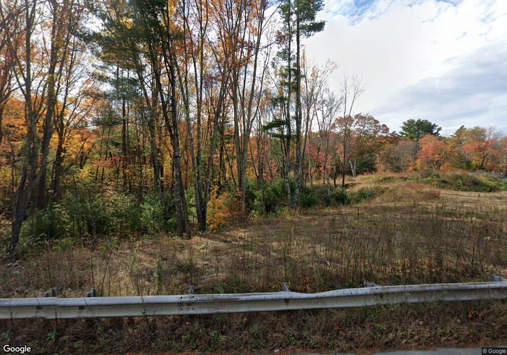
629 Quaker Hwy Uxbridge, MA 01569
--
Bed
--
Bath
--
Sq Ft
2.83
Acres
About This Home
This home is located at 629 Quaker Hwy, Uxbridge, MA 01569. 629 Quaker Hwy is a home located in Worcester County with nearby schools including Uxbridge High School and Our Lady of the Valley Regional School.
Ownership History
Date
Name
Owned For
Owner Type
Purchase Details
Closed on
Jul 31, 2017
Sold by
Blackstone Co Inc
Bought by
Johnson Farm Llc
Home Financials for this Owner
Home Financials are based on the most recent Mortgage that was taken out on this home.
Original Mortgage
$444,500
Outstanding Balance
$370,399
Interest Rate
3.91%
Mortgage Type
Purchase Money Mortgage
Purchase Details
Closed on
Mar 16, 1994
Sold by
Crompton Richard and Crompton Clovis
Bought by
Blackstone Co Inc
Create a Home Valuation Report for This Property
The Home Valuation Report is an in-depth analysis detailing your home's value as well as a comparison with similar homes in the area
Home Values in the Area
Average Home Value in this Area
Purchase History
| Date | Buyer | Sale Price | Title Company |
|---|---|---|---|
| Johnson Farm Llc | $350,000 | -- | |
| Blackstone Co Inc | $150,000 | -- |
Source: Public Records
Mortgage History
| Date | Status | Borrower | Loan Amount |
|---|---|---|---|
| Open | Johnson Farm Llc | $444,500 |
Source: Public Records
Tax History Compared to Growth
Tax History
| Year | Tax Paid | Tax Assessment Tax Assessment Total Assessment is a certain percentage of the fair market value that is determined by local assessors to be the total taxable value of land and additions on the property. | Land | Improvement |
|---|---|---|---|---|
| 2025 | $30 | $217,800 | $217,800 | $0 |
| 2024 | $2,851 | $217,800 | $217,800 | $0 |
| 2023 | $3,038 | $217,800 | $217,800 | $0 |
| 2022 | $3,153 | $208,000 | $208,000 | $0 |
| 2021 | $3,291 | $208,000 | $208,000 | $0 |
| 2020 | $3,482 | $208,000 | $208,000 | $0 |
| 2019 | $3,609 | $208,000 | $208,000 | $0 |
| 2018 | $3,571 | $208,000 | $208,000 | $0 |
| 2017 | $3,256 | $192,000 | $192,000 | $0 |
| 2016 | $3,349 | $190,600 | $190,600 | $0 |
| 2015 | $3,316 | $190,600 | $190,600 | $0 |
Source: Public Records
Map
Nearby Homes
- 9 Balm of Life Spring Rd
- 215 Chestnut St
- 239 Aldrich St
- 385 River Rd
- 119 Albee Rd
- 127 Old Millville Rd
- 70 Chocolog Rd
- 36 Clark Rd
- 77 Chestnut Hill Rd
- 15 Turner Farm Rd
- 12 Turner Farm Rd
- 18 Turner Farm Rd
- 23 Chesley St
- 90 Chestnut Hill Rd
- 133 Providence St Unit D
- 57 Kempton Rd
- 45 Turner Farm Rd
- 46 Turner Farm Rd
- 29 Glendale St
- 111 Cider Mill Rd
- 2 Ironstone Rd
- 2 Ironstone Rd
- 620 Quaker Hwy
- 6 Ironstone Rd
- 6 Ironstone Rd
- 671 Quaker Hwy
- 28 Ironstone Rd
- 677 Quaker Hwy
- 48 Ironstone Rd
- 117 Balm of Life Spring Rd
- 56 Ironstone Rd
- 586 Quaker Hwy
- 690 Quaker Hwy
- 73 Ironstone Rd
- 115 Balm of Life Spring Rd
- 85 Ironstone Rd
- 105 Balm of Life Spring Rd
- 76 Ironstone Rd
- 93 Ironstone Rd
- 94 Ironstone Rd