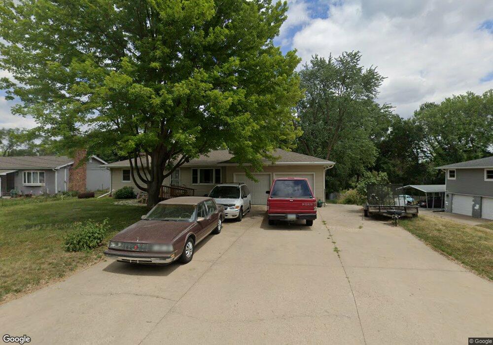
629 Ridge Rd N Council Bluffs, IA 51503
Estimated Value: $245,091 - $308,000
3
Beds
2
Baths
1,040
Sq Ft
$265/Sq Ft
Est. Value
About This Home
This home is located at 629 Ridge Rd N, Council Bluffs, IA 51503 and is currently estimated at $276,023, approximately $265 per square foot. 629 Ridge Rd N is a home located in Pottawattamie County with nearby schools including College View Elementary School, Crescent Elementary School, and Gerald W. Kirn Middle School.
Ownership History
Date
Name
Owned For
Owner Type
Purchase Details
Closed on
Dec 15, 2010
Sold by
Tabler David W
Bought by
Mcmaken Michael A and Mcmaken Diane M
Current Estimated Value
Home Financials for this Owner
Home Financials are based on the most recent Mortgage that was taken out on this home.
Original Mortgage
$104,000
Outstanding Balance
$69,476
Interest Rate
4.44%
Mortgage Type
New Conventional
Estimated Equity
$206,547
Create a Home Valuation Report for This Property
The Home Valuation Report is an in-depth analysis detailing your home's value as well as a comparison with similar homes in the area
Home Values in the Area
Average Home Value in this Area
Purchase History
| Date | Buyer | Sale Price | Title Company |
|---|---|---|---|
| Mcmaken Michael A | $130,000 | None Available |
Source: Public Records
Mortgage History
| Date | Status | Borrower | Loan Amount |
|---|---|---|---|
| Open | Mcmaken Michael A | $104,000 |
Source: Public Records
Tax History Compared to Growth
Tax History
| Year | Tax Paid | Tax Assessment Tax Assessment Total Assessment is a certain percentage of the fair market value that is determined by local assessors to be the total taxable value of land and additions on the property. | Land | Improvement |
|---|---|---|---|---|
| 2025 | $3,000 | $254,000 | $41,700 | $212,300 |
| 2024 | $3,000 | $218,300 | $36,300 | $182,000 |
| 2023 | $2,976 | $218,300 | $36,300 | $182,000 |
| 2022 | $2,558 | $158,700 | $39,600 | $119,100 |
| 2021 | $3,947 | $158,700 | $39,600 | $119,100 |
| 2020 | $2,224 | $158,700 | $39,600 | $119,100 |
| 2019 | $2,302 | $130,150 | $34,834 | $95,316 |
| 2018 | $2,266 | $130,150 | $34,834 | $95,316 |
| 2017 | $2,312 | $130,150 | $34,834 | $95,316 |
| 2015 | $2,270 | $130,150 | $34,834 | $95,316 |
| 2014 | $2,274 | $130,150 | $34,834 | $95,316 |
Source: Public Records
Map
Nearby Homes
- 605 Ridge Rd N
- 18843 Evergreen Ln
- 944 Mckenzie Ave
- 19404 Mudhollow Rd
- 500 Spencer Ave
- 627 Spencer Ave
- 116 Spencer Ave
- 401 Spencer Ave
- 407 Spencer Ave
- 18267 Northline Dr
- 638 Simms Ave
- 162 N Linden Ave
- 155 S Linden Ave
- 2231 N Broadway
- 415 Midland Dr
- 212 Highland Dr
- 142 Sylvan Dr
- 440 Simms Ave
- 269 Elmwood Dr
- 145 Zenith Dr
- 701 Ridge Rd N
- 625 Ridge Rd N
- 623 Ridge Rd N
- 709 Ridge Rd N
- 19115 Birdsley Rd
- 626 Ridge Rd N
- 19143 Birdsley Rd
- 19109 Birdsley Rd
- 713 Ridge Rd N
- 630 Ridge Rd N
- 710 Ridge Rd N
- 19153 Birdsley Rd
- 624 Ridge Rd N
- 1 Ridge Dr W
- 3 Ridge Dr W
- 19169 Birdsley Rd
- 5 Ridge Dr W
- 5 Ridge Dr W
- 19106 Birdsley Rd
- 601 Ridge Rd N