6290 E 64th St S Newton, IA 50208
Estimated Value: $601,000 - $793,000
5
Beds
3
Baths
1,780
Sq Ft
$395/Sq Ft
Est. Value
About This Home
This home is located at 6290 E 64th St S, Newton, IA 50208 and is currently estimated at $703,509, approximately $395 per square foot. 6290 E 64th St S is a home located in Jasper County with nearby schools including Berg Middle School and Newton Senior High School.
Ownership History
Date
Name
Owned For
Owner Type
Purchase Details
Closed on
Apr 14, 2017
Sold by
Berry Paul R and Sparks Janice L
Bought by
Chamberalain William S and Chamberlain Julie L
Current Estimated Value
Home Financials for this Owner
Home Financials are based on the most recent Mortgage that was taken out on this home.
Original Mortgage
$250,000
Outstanding Balance
$169,593
Interest Rate
4.23%
Mortgage Type
New Conventional
Estimated Equity
$533,916
Create a Home Valuation Report for This Property
The Home Valuation Report is an in-depth analysis detailing your home's value as well as a comparison with similar homes in the area
Purchase History
| Date | Buyer | Sale Price | Title Company |
|---|---|---|---|
| Chamberalain William S | $420,000 | None Available |
Source: Public Records
Mortgage History
| Date | Status | Borrower | Loan Amount |
|---|---|---|---|
| Open | Chamberalain William S | $250,000 |
Source: Public Records
Tax History
| Year | Tax Paid | Tax Assessment Tax Assessment Total Assessment is a certain percentage of the fair market value that is determined by local assessors to be the total taxable value of land and additions on the property. | Land | Improvement |
|---|---|---|---|---|
| 2025 | $5,064 | $415,290 | $30,400 | $384,890 |
| 2024 | $5,064 | $370,440 | $23,460 | $346,980 |
| 2023 | $4,928 | $370,440 | $23,460 | $346,980 |
| 2022 | $3,962 | $272,190 | $17,490 | $254,700 |
| 2021 | $3,796 | $249,460 | $17,490 | $231,970 |
| 2020 | $3,796 | $230,970 | $17,960 | $213,010 |
| 2019 | $3,526 | $211,120 | $0 | $0 |
| 2018 | $3,526 | $211,120 | $0 | $0 |
| 2017 | $3,442 | $221,110 | $0 | $0 |
| 2016 | $3,442 | $221,110 | $0 | $0 |
| 2015 | $3,348 | $224,840 | $0 | $0 |
| 2014 | $3,324 | $224,840 | $0 | $0 |
Source: Public Records
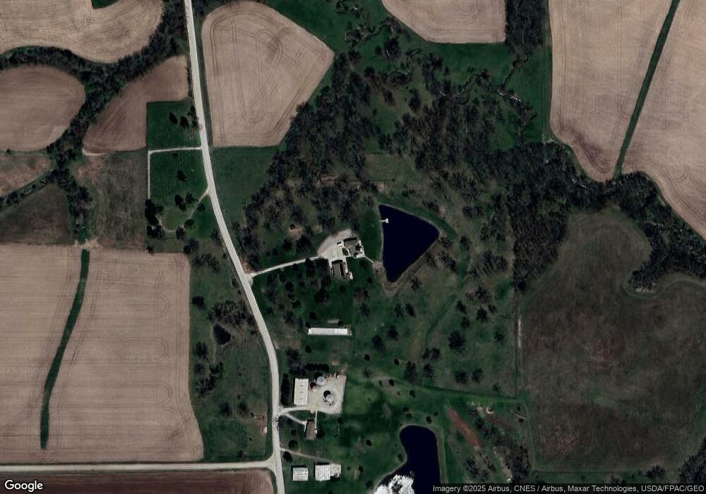
Map
Nearby Homes
- 6657 E 78th St S
- 4683 Legion St Unit ST80
- 5122 E 84th St S
- 4311 E 68th St S
- 9553 Highway T 14 S
- 944 Meadow Brook Ave
- 3656 W 4th St S
- 1609 S 12th Ave E
- 600 E 26th St S
- 1005 E 18th St S
- 313 E 29th St S
- 308 E 26th St S
- 501 E 24th St S
- 1215 E 13th St S
- 508 E 21st St S
- 206 E 28th St S
- 512 E 19th St S
- 904 E 14th St S
- 903 E 14th St S
- 808 E 14th St S
- 6382 E 64th St S
- 6083 E 64th St S
- 6830 S 60th Ave E
- 5935 S 60th Ave E
- 6034 S 60th Ave E
- 6777 E 64th St S
- 6777 E 64th St S Unit A
- 5733 E 64th St S
- 5698 E 64th St S
- 7622 S 60th Ave E
- 5936 E 76th St S
- 6779 E 60th St S
- 6779 E 60th St S
- 5908 E 76th St S
- 7191 S 68th Ave E
- 7452 S 68th Ave E
- 5275 S 64th Ave E
- 7676 S 60th Ave E
- 5858 E 76th St S
- 7758 S 60th Ave E
Your Personal Tour Guide
Ask me questions while you tour the home.