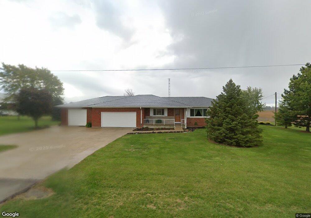
6290 State Route 119 Minster, OH 45865
Estimated Value: $281,000 - $390,000
4
Beds
2
Baths
2,535
Sq Ft
$129/Sq Ft
Est. Value
About This Home
This home is located at 6290 State Route 119, Minster, OH 45865 and is currently estimated at $328,020, approximately $129 per square foot. 6290 State Route 119 is a home located in Shelby County with nearby schools including Minster Elementary School and Minster Junior/Senior High School.
Ownership History
Date
Name
Owned For
Owner Type
Purchase Details
Closed on
May 6, 2025
Sold by
Lehmkuhl David C and Lehmkuhl Marlene
Bought by
Lehmkuhl Alexander J
Current Estimated Value
Home Financials for this Owner
Home Financials are based on the most recent Mortgage that was taken out on this home.
Original Mortgage
$230,000
Outstanding Balance
$226,783
Interest Rate
5.89%
Mortgage Type
Credit Line Revolving
Estimated Equity
$101,237
Create a Home Valuation Report for This Property
The Home Valuation Report is an in-depth analysis detailing your home's value as well as a comparison with similar homes in the area
Home Values in the Area
Average Home Value in this Area
Purchase History
| Date | Buyer | Sale Price | Title Company |
|---|---|---|---|
| Lehmkuhl Alexander J | $300,000 | None Listed On Document | |
| Lehmkuhl Alexander J | $300,000 | None Listed On Document |
Source: Public Records
Mortgage History
| Date | Status | Borrower | Loan Amount |
|---|---|---|---|
| Open | Lehmkuhl Alexander J | $230,000 | |
| Closed | Lehmkuhl Alexander J | $230,000 |
Source: Public Records
Tax History Compared to Growth
Tax History
| Year | Tax Paid | Tax Assessment Tax Assessment Total Assessment is a certain percentage of the fair market value that is determined by local assessors to be the total taxable value of land and additions on the property. | Land | Improvement |
|---|---|---|---|---|
| 2024 | $1,991 | $69,310 | $10,080 | $59,230 |
| 2023 | $1,991 | $69,310 | $10,080 | $59,230 |
| 2022 | $1,607 | $55,380 | $8,190 | $47,190 |
| 2021 | $1,659 | $55,380 | $8,190 | $47,190 |
| 2020 | $1,691 | $55,380 | $8,190 | $47,190 |
| 2019 | $1,509 | $48,180 | $6,800 | $41,380 |
| 2018 | $1,499 | $48,180 | $6,800 | $41,380 |
| 2017 | $1,499 | $48,180 | $6,800 | $41,380 |
| 2016 | $1,430 | $45,610 | $5,670 | $39,940 |
| 2015 | $1,358 | $46,930 | $5,670 | $41,260 |
| 2014 | $1,393 | $46,930 | $5,670 | $41,260 |
| 2013 | $1,353 | $43,100 | $5,670 | $37,430 |
Source: Public Records
Map
Nearby Homes
- 11968 Arling Rd
- 13400 Whitefeather Trail
- 193 N Paris St
- 11 Shania Place Unit 28
- 36 Shania Place Unit 23
- 28 Shania Place Unit 33
- 19 Shania Place Unit 33
- 27 Shania Place Unit 26
- 0 Stonegate Dr Unit 14 10544847
- 0 Stonegate Dr Unit 21 10544857
- 17 Stonegate Dr
- 16785 Roettger Rd
- 180 Janice Dr
- 177 Janice Dr
- 7 E 2nd St
- 173 Janice Dr
- 176 Janice Dr
- 169 Janice Dr
- 165 Janice Dr
- 161 Janice Dr
- 6330 State Route 119
- 6387 State Route 119
- 6149 State Route 119
- 13350 Luthman Rd
- 13350 Luthman Rd
- 6864 State Route 119
- 13991 Schmitmeyer Baker Rd
- 13348 Luthman Rd
- 13346 Luthman Rd
- 13345 Luthman Rd
- 13344 Luthman Rd
- 13343 Luthman Rd
- 13342 Luthman Rd
- 13339 Luthman Rd
- 13550 Wilkens Fortman Rd
- 13338 Luthman Rd
- 13334 Luthman Rd
- 13362 Luthman Rd
- 13333 Luthman Rd
- 13366 Luthman Rd