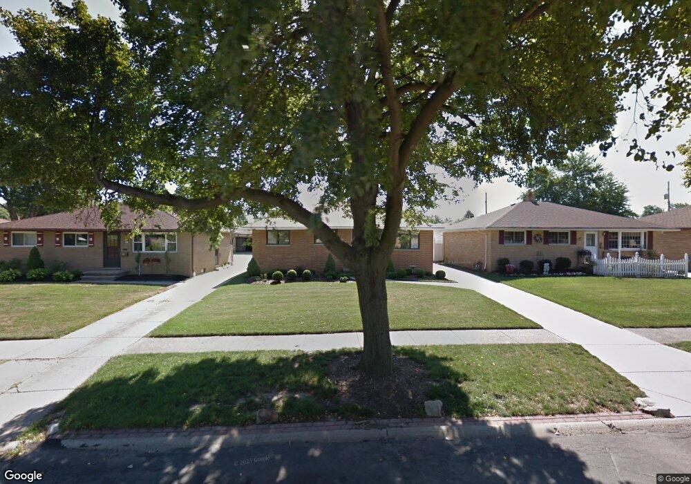
6291 Saylor Dr Brookpark, OH 44142
Estimated Value: $217,503 - $269,000
3
Beds
2
Baths
1,380
Sq Ft
$171/Sq Ft
Est. Value
About This Home
This home is located at 6291 Saylor Dr, Brookpark, OH 44142 and is currently estimated at $236,626, approximately $171 per square foot. 6291 Saylor Dr is a home located in Cuyahoga County with nearby schools including Berea-Midpark Middle School, Berea-Midpark High School, and Huber Heights Preparatory Academy Parma Academy.
Ownership History
Date
Name
Owned For
Owner Type
Purchase Details
Closed on
Jun 30, 2021
Sold by
Czupik Rose L
Bought by
Mahon Matthew Ryan
Current Estimated Value
Home Financials for this Owner
Home Financials are based on the most recent Mortgage that was taken out on this home.
Original Mortgage
$153,000
Outstanding Balance
$137,005
Interest Rate
2.9%
Mortgage Type
New Conventional
Estimated Equity
$99,621
Purchase Details
Closed on
Apr 2, 1985
Sold by
Czupik Theodore H and Czupik Rose L
Bought by
Theodore H Czupik
Purchase Details
Closed on
Jan 1, 1975
Bought by
Czupik Theodore H and Czupik Rose L
Create a Home Valuation Report for This Property
The Home Valuation Report is an in-depth analysis detailing your home's value as well as a comparison with similar homes in the area
Home Values in the Area
Average Home Value in this Area
Purchase History
| Date | Buyer | Sale Price | Title Company |
|---|---|---|---|
| Mahon Matthew Ryan | $165,000 | Ohio Real Title | |
| Theodore H Czupik | -- | -- | |
| Czupik Theodore H | -- | -- |
Source: Public Records
Mortgage History
| Date | Status | Borrower | Loan Amount |
|---|---|---|---|
| Open | Mahon Matthew Ryan | $153,000 |
Source: Public Records
Tax History
| Year | Tax Paid | Tax Assessment Tax Assessment Total Assessment is a certain percentage of the fair market value that is determined by local assessors to be the total taxable value of land and additions on the property. | Land | Improvement |
|---|---|---|---|---|
| 2025 | $3,158 | $63,000 | $13,090 | $49,910 |
| 2024 | $3,177 | $63,000 | $13,090 | $49,910 |
| 2023 | $3,473 | $57,020 | $9,980 | $47,040 |
| 2022 | $3,449 | $57,020 | $9,980 | $47,040 |
| 2021 | $2,902 | $57,020 | $9,980 | $47,040 |
| 2020 | $2,494 | $45,260 | $7,910 | $37,350 |
| 2019 | $2,420 | $129,300 | $22,600 | $106,700 |
| 2018 | $2,284 | $45,260 | $7,910 | $37,350 |
| 2017 | $2,339 | $41,480 | $7,950 | $33,530 |
| 2016 | $2,319 | $41,480 | $7,950 | $33,530 |
| 2015 | $2,159 | $41,480 | $7,950 | $33,530 |
| 2014 | $2,046 | $39,520 | $7,560 | $31,960 |
Source: Public Records
Map
Nearby Homes
- 14396 Park Dr
- 14242 Holland Rd
- 14761 Larkfield Dr
- 14801 Larkfield Dr
- 6453 Terre Dr
- 14024 Donald Dr
- 6757 Smith Rd
- 15300 Holland Rd
- 6095 Stark Dr
- 6103 Westbrook Dr
- 6506 Fairweather Dr
- 13352 Claremont Ave
- 13375 Kathleen Dr
- 6386 Sandfield Dr
- 6771 Wood Creek Dr
- 6065 Mercer Dr
- 6330 Sandfield Dr
- 6377 Ledgebrook Dr
- 6024 Brook Ct
- 6014 Westbrook Dr
Your Personal Tour Guide
Ask me questions while you tour the home.