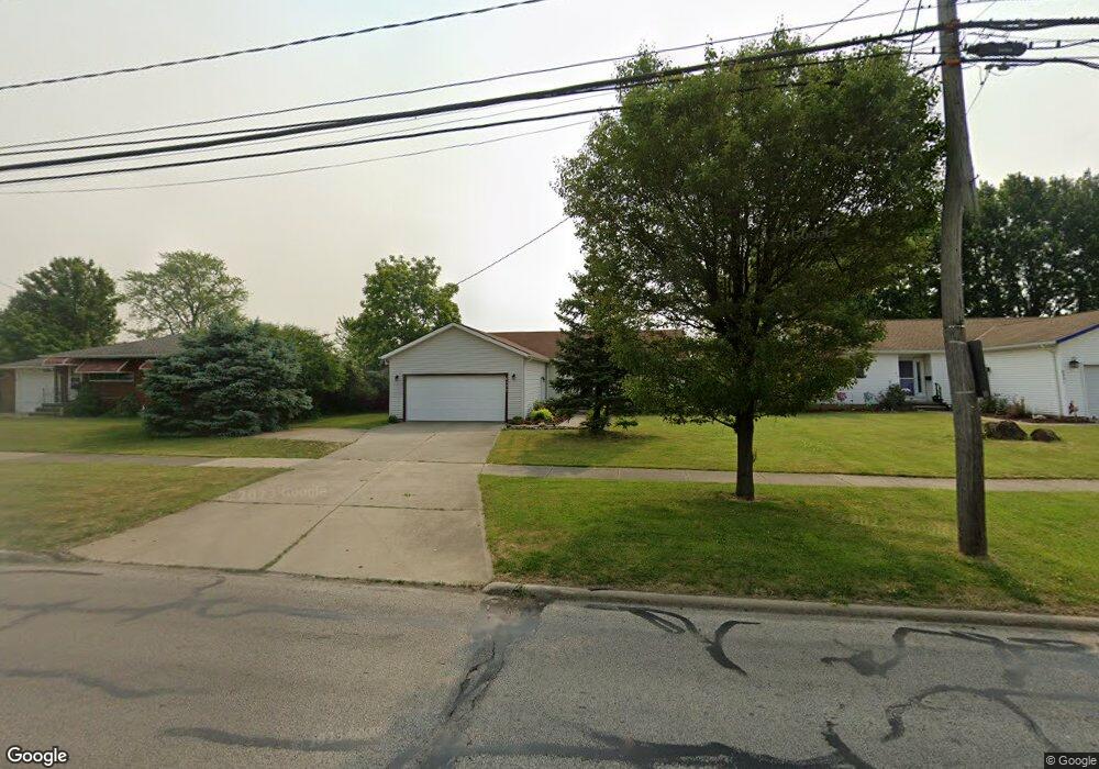
6293 Smith Rd Brookpark, OH 44142
Estimated Value: $213,000 - $303,000
3
Beds
2
Baths
1,370
Sq Ft
$187/Sq Ft
Est. Value
About This Home
This home is located at 6293 Smith Rd, Brookpark, OH 44142 and is currently estimated at $256,378, approximately $187 per square foot. 6293 Smith Rd is a home located in Cuyahoga County with nearby schools including Berea-Midpark Middle School, Berea-Midpark High School, and Huber Heights Preparatory Academy Parma Academy.
Ownership History
Date
Name
Owned For
Owner Type
Purchase Details
Closed on
Mar 5, 1996
Sold by
O'Connor George
Bought by
Szabo Istvan and Szabo Terezia
Current Estimated Value
Home Financials for this Owner
Home Financials are based on the most recent Mortgage that was taken out on this home.
Original Mortgage
$35,000
Outstanding Balance
$1,378
Interest Rate
7.07%
Mortgage Type
New Conventional
Estimated Equity
$255,000
Purchase Details
Closed on
Jan 13, 1995
Sold by
Maddocks Linda
Bought by
O'Connor Nymfa A
Create a Home Valuation Report for This Property
The Home Valuation Report is an in-depth analysis detailing your home's value as well as a comparison with similar homes in the area
Home Values in the Area
Average Home Value in this Area
Purchase History
| Date | Buyer | Sale Price | Title Company |
|---|---|---|---|
| Szabo Istvan | $135,000 | -- | |
| O'Connor Nymfa A | $44,000 | -- |
Source: Public Records
Mortgage History
| Date | Status | Borrower | Loan Amount |
|---|---|---|---|
| Open | Szabo Istvan | $35,000 |
Source: Public Records
Tax History
| Year | Tax Paid | Tax Assessment Tax Assessment Total Assessment is a certain percentage of the fair market value that is determined by local assessors to be the total taxable value of land and additions on the property. | Land | Improvement |
|---|---|---|---|---|
| 2024 | $4,006 | $89,215 | $13,790 | $75,425 |
| 2023 | $3,605 | $68,360 | $11,130 | $57,230 |
| 2022 | $3,605 | $68,360 | $11,130 | $57,230 |
| 2021 | $4,110 | $68,360 | $11,130 | $57,230 |
| 2020 | $3,706 | $54,250 | $8,820 | $45,430 |
| 2019 | $3,748 | $161,600 | $25,200 | $136,400 |
| 2018 | $3,733 | $56,560 | $8,820 | $47,740 |
| 2017 | $3,624 | $50,720 | $7,840 | $42,880 |
| 2016 | $3,594 | $50,720 | $7,840 | $42,880 |
| 2015 | $3,373 | $50,720 | $7,840 | $42,880 |
| 2014 | $3,373 | $50,720 | $7,840 | $42,880 |
Source: Public Records
Map
Nearby Homes
- 15424 Holland Rd
- 6386 Sandfield Dr
- 6377 Ledgebrook Dr
- 6330 Ledgebrook Dr
- 6131 Hardin Dr
- 6095 Stark Dr
- 14398 Sheldon Rd
- 6103 Westbrook Dr
- 16117 Hocking Blvd
- 15532 Rademaker Dr
- 14024 Donald Dr
- 15496 Shaleside Ct
- 6014 Westbrook Dr
- 6749 Rockridge Ct
- 6759 Quarrystone Ln
- 13874 Heatherwood Dr
- 6815 Middlebrook Blvd
- 13750 Belfair Dr
- 16159 Bowfin Blvd
- 6744 Fry Rd Unit 4
Your Personal Tour Guide
Ask me questions while you tour the home.