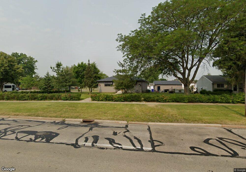
6298 Smith Rd Brookpark, OH 44142
Estimated Value: $205,000 - $239,000
3
Beds
1
Bath
925
Sq Ft
$235/Sq Ft
Est. Value
About This Home
This home is located at 6298 Smith Rd, Brookpark, OH 44142 and is currently estimated at $217,585, approximately $235 per square foot. 6298 Smith Rd is a home located in Cuyahoga County with nearby schools including Berea-Midpark Middle School, Berea-Midpark High School, and Huber Heights Preparatory Academy Parma Academy.
Ownership History
Date
Name
Owned For
Owner Type
Purchase Details
Closed on
May 29, 1997
Sold by
Haggerty Lucille A
Bought by
Harmuth James E and Harmuth Roxanne R
Current Estimated Value
Home Financials for this Owner
Home Financials are based on the most recent Mortgage that was taken out on this home.
Original Mortgage
$102,403
Outstanding Balance
$15,021
Interest Rate
8.27%
Mortgage Type
FHA
Estimated Equity
$202,564
Purchase Details
Closed on
Aug 11, 1992
Sold by
Haggerty Frank H
Bought by
Haggerty Lucille A
Purchase Details
Closed on
Nov 6, 1987
Sold by
Lough Terrence L
Bought by
Haggerty Frank H
Purchase Details
Closed on
Jan 1, 1975
Bought by
Lough Terrence L
Create a Home Valuation Report for This Property
The Home Valuation Report is an in-depth analysis detailing your home's value as well as a comparison with similar homes in the area
Home Values in the Area
Average Home Value in this Area
Purchase History
| Date | Buyer | Sale Price | Title Company |
|---|---|---|---|
| Harmuth James E | $102,900 | -- | |
| Haggerty Lucille A | -- | -- | |
| Haggerty Frank H | $69,000 | -- | |
| Lough Terrence L | -- | -- |
Source: Public Records
Mortgage History
| Date | Status | Borrower | Loan Amount |
|---|---|---|---|
| Open | Harmuth James E | $102,403 |
Source: Public Records
Tax History Compared to Growth
Tax History
| Year | Tax Paid | Tax Assessment Tax Assessment Total Assessment is a certain percentage of the fair market value that is determined by local assessors to be the total taxable value of land and additions on the property. | Land | Improvement |
|---|---|---|---|---|
| 2024 | $3,174 | $62,930 | $13,790 | $49,140 |
| 2023 | $2,949 | $48,410 | $11,830 | $36,580 |
| 2022 | $2,928 | $48,410 | $11,830 | $36,580 |
| 2021 | $2,911 | $48,410 | $11,830 | $36,580 |
| 2020 | $2,623 | $38,400 | $9,380 | $29,020 |
| 2019 | $2,545 | $109,700 | $26,800 | $82,900 |
| 2018 | $2,378 | $38,400 | $9,380 | $29,020 |
| 2017 | $2,406 | $33,670 | $8,750 | $24,920 |
| 2016 | $2,386 | $33,670 | $8,750 | $24,920 |
| 2015 | $2,358 | $33,670 | $8,750 | $24,920 |
| 2014 | $2,358 | $35,460 | $9,210 | $26,250 |
Source: Public Records
Map
Nearby Homes
- 6340 Smith Rd
- 6361 Smith Rd
- 14801 Larkfield Dr
- 6359 Middlebrook Blvd
- 15472 Meigs Blvd
- 5952 Delores Blvd
- 6723 N Ivy Ln
- 6719 Smith Rd
- 15490 Oakshire Ct
- 6710 Woodruff Ct
- 13984 Settlement Acres Dr
- 6736 Rockridge Ct
- 6720 Benedict Dr
- 6748 Benedict Dr
- 6744 Benedict Dr
- 6724 Benedict Dr
- 6728 Benedict Dr
- 6040 Slater Dr
- 5814 Doris Dr
- 16087 Primrose Cir
- 15278 Birchcroft Dr
- 6292 Smith Rd
- 15304 Birchcroft Dr
- 6284 Smith Rd
- 15301 Richard Dr
- 15330 Birchcroft Dr
- 15325 Richard Dr
- 6315 Edgehurst Dr
- 6301 Smith Rd
- 6293 Smith Rd
- 6311 Smith Rd
- 15356 Birchcroft Dr
- 15351 Richard Dr
- 6321 Edgehurst Dr
- 6285 Smith Rd
- 6274 Smith Rd
- 6321 Smith Rd
- 6330 Smith Rd
- 15375 Richard Dr
- 15300 Richard Dr
