6299 Crooked Stick Cir Stockton, CA 95219
Brookside NeighborhoodEstimated Value: $1,405,000 - $2,347,000
6
Beds
7
Baths
7,498
Sq Ft
$261/Sq Ft
Est. Value
About This Home
This home is located at 6299 Crooked Stick Cir, Stockton, CA 95219 and is currently estimated at $1,954,043, approximately $260 per square foot. 6299 Crooked Stick Cir is a home located in San Joaquin County with nearby schools including Brookside, Sierra Middle School, and Lincoln High School.
Ownership History
Date
Name
Owned For
Owner Type
Purchase Details
Closed on
Jul 23, 2015
Sold by
Reddy Raghunath and Reddy Pallavi
Bought by
The Raghunath K Reddy & Pallavi Reddy Fa and Reddy Pallavi
Current Estimated Value
Purchase Details
Closed on
Dec 4, 2002
Sold by
Highfill William N and Highfill Barbara A
Bought by
Reddy Raghunath and Reddy Pallavi
Home Financials for this Owner
Home Financials are based on the most recent Mortgage that was taken out on this home.
Original Mortgage
$806,250
Interest Rate
6.28%
Create a Home Valuation Report for This Property
The Home Valuation Report is an in-depth analysis detailing your home's value as well as a comparison with similar homes in the area
Home Values in the Area
Average Home Value in this Area
Purchase History
| Date | Buyer | Sale Price | Title Company |
|---|---|---|---|
| The Raghunath K Reddy & Pallavi Reddy Fa | -- | None Available | |
| Reddy Raghunath | -- | Alliance Title Co |
Source: Public Records
Mortgage History
| Date | Status | Borrower | Loan Amount |
|---|---|---|---|
| Closed | Reddy Raghunath | $806,250 |
Source: Public Records
Tax History Compared to Growth
Tax History
| Year | Tax Paid | Tax Assessment Tax Assessment Total Assessment is a certain percentage of the fair market value that is determined by local assessors to be the total taxable value of land and additions on the property. | Land | Improvement |
|---|---|---|---|---|
| 2025 | $23,397 | $2,050,000 | $615,000 | $1,435,000 |
| 2024 | $22,812 | $2,003,100 | $600,000 | $1,403,100 |
| 2023 | $22,439 | $1,946,300 | $580,000 | $1,366,300 |
| 2022 | $22,974 | $2,031,859 | $439,440 | $1,592,419 |
| 2021 | $22,654 | $1,992,020 | $430,824 | $1,561,196 |
| 2020 | $22,671 | $1,971,595 | $426,407 | $1,545,188 |
| 2019 | $22,296 | $1,932,938 | $418,047 | $1,514,891 |
| 2018 | $21,927 | $1,895,038 | $409,850 | $1,485,188 |
| 2017 | $21,472 | $1,857,881 | $401,814 | $1,456,067 |
| 2016 | $21,240 | $1,821,465 | $393,938 | $1,427,527 |
| 2015 | $21,015 | $1,794,115 | $388,023 | $1,406,092 |
| 2014 | -- | $1,758,980 | $380,424 | $1,378,556 |
Source: Public Records
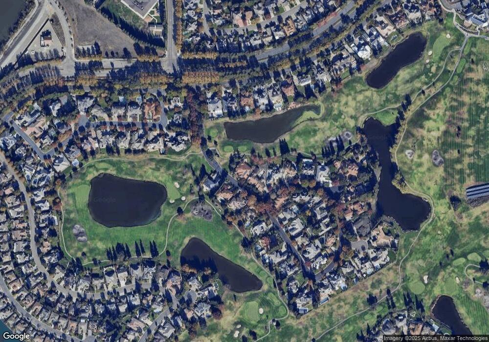
Map
Nearby Homes
- 5143 Poppy Hills Cir
- 4958 Bay View Cir
- 5036 Spanish Bay Cir
- 3865 Gleneagles Dr
- 3663 Saint Andrews Dr Unit 16
- 3653 Saint Andrews Dr Unit 14
- 4335 Gleneagles Ct
- 4119 Spyglass Dr
- 5752 Saint Andrews Dr
- 3940 Pine Lake Cir
- 3743 Saint Andrews Dr
- 4583 Pine Valley Cir
- 4646 Saint Andrews Dr
- 4135 Riverbrook Ct
- 4240 Pinehurst Cir
- 4231 Pinehurst Cir
- 4313 Rockwood Ct
- 4224 Pinehurst Cir
- 5409 Rockwood Cir
- 4273 Boulder Creek Cir
- 6297 Crooked Stick Cir
- 6293 Crooked Stick Cir
- 6205 Crooked Stick Cir
- 6209 Crooked Stick Cir
- 6201 Crooked Stick Cir
- 6213 Crooked Stick Cir
- 6289 Crooked Stick Cir
- 6292 Crooked Stick Cir
- 6217 Crooked Stick Cir
- 6285 Crooked Stick Cir
- 6218 Crooked Stick Cir
- 6280 Crooked Stick Cir
- 6315 Saint Andrews Dr
- 6327 Saint Andrews Dr
- 6301 Saint Andrews Dr
- 6155 Huntingdale Cir
- 6339 Saint Andrews Dr
- 6221 Crooked Stick Cir
- 6220 Crooked Stick Cir
- 6281 Crooked Stick Cir