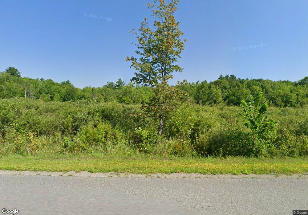
63 Buleys Way Newburgh, ME 04444
Estimated Value: $384,000 - $526,848
--
Bed
--
Bath
1,528
Sq Ft
$284/Sq Ft
Est. Value
About This Home
This home is located at 63 Buleys Way, Newburgh, ME 04444 and is currently estimated at $434,616, approximately $284 per square foot. 63 Buleys Way is a home.
Ownership History
Date
Name
Owned For
Owner Type
Purchase Details
Closed on
Nov 19, 2013
Sold by
Campbell Ashley D and Campbell Wendy M
Bought by
Buley Mark A and Buley Kristen E
Current Estimated Value
Home Financials for this Owner
Home Financials are based on the most recent Mortgage that was taken out on this home.
Original Mortgage
$168,000
Outstanding Balance
$113,425
Interest Rate
2%
Mortgage Type
Commercial
Estimated Equity
$321,191
Purchase Details
Closed on
Aug 25, 2006
Sold by
Bartlett Gerald W
Bought by
Campbell Ashley D and Campbell Wendy M
Create a Home Valuation Report for This Property
The Home Valuation Report is an in-depth analysis detailing your home's value as well as a comparison with similar homes in the area
Home Values in the Area
Average Home Value in this Area
Purchase History
| Date | Buyer | Sale Price | Title Company |
|---|---|---|---|
| Buley Mark A | -- | -- | |
| Campbell Wendy M | -- | -- | |
| Campbell Ashley D | -- | -- | |
| Buley Mark A | -- | -- | |
| Campbell Ashley D | -- | -- |
Source: Public Records
Mortgage History
| Date | Status | Borrower | Loan Amount |
|---|---|---|---|
| Open | Buley Mark A | $168,000 | |
| Closed | Campbell Ashley D | $168,000 | |
| Previous Owner | Campbell Ashley D | $40,000 |
Source: Public Records
Tax History Compared to Growth
Tax History
| Year | Tax Paid | Tax Assessment Tax Assessment Total Assessment is a certain percentage of the fair market value that is determined by local assessors to be the total taxable value of land and additions on the property. | Land | Improvement |
|---|---|---|---|---|
| 2024 | $5,082 | $373,653 | $103,144 | $270,509 |
| 2023 | $4,492 | $348,249 | $100,191 | $248,058 |
| 2022 | $4,146 | $271,005 | $78,937 | $192,068 |
| 2021 | $4,074 | $256,207 | $72,864 | $183,343 |
| 2020 | $3,954 | $236,775 | $66,794 | $169,981 |
| 2019 | $3,789 | $215,259 | $60,722 | $154,537 |
| 2018 | $3,689 | $216,995 | $60,722 | $156,273 |
| 2017 | $3,434 | $218,731 | $60,722 | $158,009 |
| 2016 | $3,390 | $218,731 | $60,722 | $158,009 |
| 2015 | $4,850 | $220,466 | $60,722 | $159,744 |
| 2014 | $2,441 | $170,700 | $61,100 | $109,600 |
| 2013 | $1,876 | $136,400 | $61,100 | $75,300 |
Source: Public Records
Map
Nearby Homes
- 1083 North Rd
- 165 Red School House Rd
- 1957 Dixmont Rd
- 1719 Dixmont Rd
- 1766 Dixmont Rd
- 2490 Western Ave
- 130 Kennard Rd
- 315 Hampden Rd
- 323 Hampden Rd
- 323, 324 Lots Map 5 Hampden Rd
- 15 Cottrell Rd
- 296 Western Ave
- 2636 Kennebec Rd
- 700 Old County Rd
- 2206 Carmel Rd N
- 664 North Rd
- 99 Tapley Farm Rd
- 139 Five Rd
- M3 L17 S Road & Church Hill Rd
- 200 Littlefield Rd
