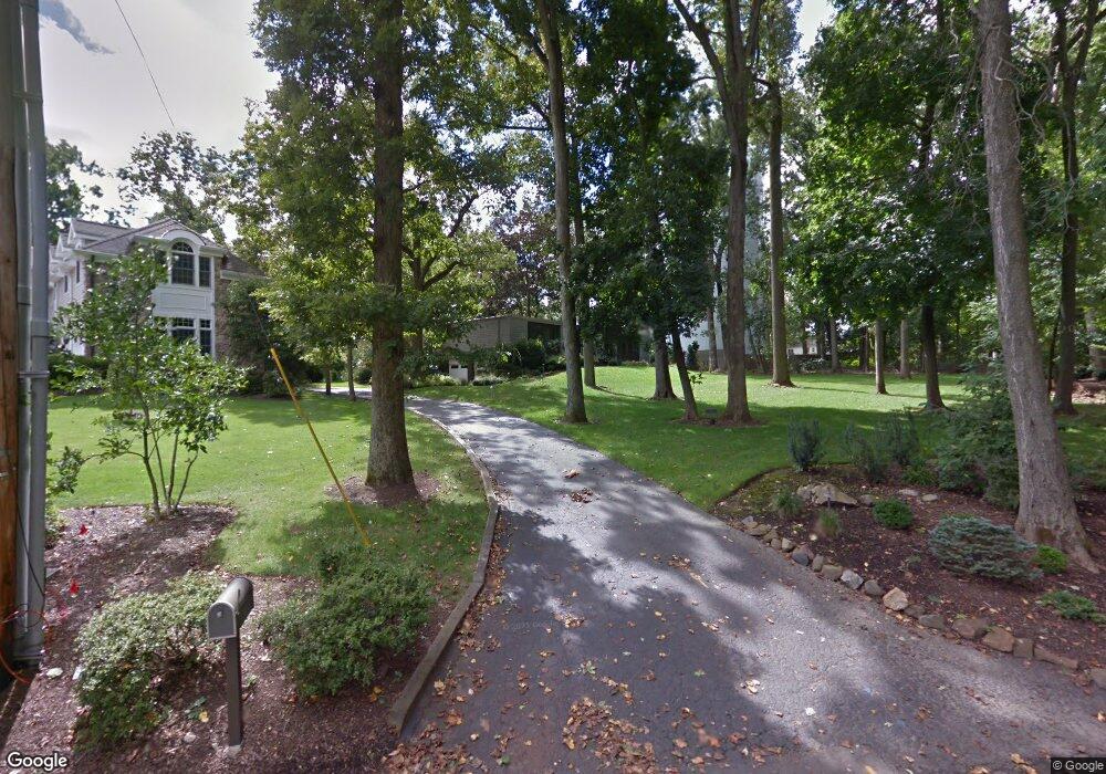
63 Buxton Rd Chatham, NJ 07928
Estimated Value: $1,029,000 - $1,575,000
--
Bed
--
Bath
1,592
Sq Ft
$844/Sq Ft
Est. Value
About This Home
This home is located at 63 Buxton Rd, Chatham, NJ 07928 and is currently estimated at $1,343,094, approximately $843 per square foot. 63 Buxton Rd is a home located in Morris County with nearby schools including Chatham High School, The Academy of Our Lady of Peace, and St. Patrick School.
Ownership History
Date
Name
Owned For
Owner Type
Purchase Details
Closed on
Sep 15, 2011
Sold by
Chan Reddy Christopher and Chan Sin Kee
Bought by
Meehan Keller Steven D and Meehan Keller Tracy
Current Estimated Value
Purchase Details
Closed on
Nov 7, 2005
Sold by
Needell Bernard
Bought by
Chan Reddy Christopher and Chan Sin Kee
Home Financials for this Owner
Home Financials are based on the most recent Mortgage that was taken out on this home.
Original Mortgage
$608,000
Interest Rate
5.25%
Mortgage Type
Adjustable Rate Mortgage/ARM
Purchase Details
Closed on
Oct 17, 2000
Sold by
Needell Bernard and Estate Of Barbara A Needell
Bought by
Needell Bernard and Babcock Elise Louise
Purchase Details
Closed on
Oct 28, 1999
Sold by
Needell Bernard and Needell Barbara Ann
Bought by
Needell Barbara Ann
Create a Home Valuation Report for This Property
The Home Valuation Report is an in-depth analysis detailing your home's value as well as a comparison with similar homes in the area
Home Values in the Area
Average Home Value in this Area
Purchase History
| Date | Buyer | Sale Price | Title Company |
|---|---|---|---|
| Meehan Keller Steven D | $800,000 | Fidelity Natl Title Ins Co | |
| Chan Reddy Christopher | $760,000 | -- | |
| Needell Bernard | -- | -- | |
| Needell Barbara Ann | -- | -- |
Source: Public Records
Mortgage History
| Date | Status | Borrower | Loan Amount |
|---|---|---|---|
| Previous Owner | Chan Reddy Christopher | $608,000 |
Source: Public Records
Tax History Compared to Growth
Tax History
| Year | Tax Paid | Tax Assessment Tax Assessment Total Assessment is a certain percentage of the fair market value that is determined by local assessors to be the total taxable value of land and additions on the property. | Land | Improvement |
|---|---|---|---|---|
| 2025 | $16,290 | $819,000 | $633,300 | $185,700 |
| 2024 | $16,020 | $819,000 | $633,300 | $185,700 |
| 2023 | $16,020 | $819,000 | $633,300 | $185,700 |
| 2022 | $15,815 | $819,000 | $633,300 | $185,700 |
| 2021 | $15,815 | $819,000 | $633,300 | $185,700 |
| 2020 | $15,504 | $819,000 | $633,300 | $185,700 |
| 2019 | $15,184 | $819,000 | $633,300 | $185,700 |
| 2018 | $15,012 | $819,000 | $633,300 | $185,700 |
| 2017 | $14,636 | $819,000 | $633,300 | $185,700 |
| 2016 | $14,406 | $819,000 | $633,300 | $185,700 |
| 2015 | $14,349 | $819,000 | $633,300 | $185,700 |
| 2014 | $14,234 | $819,000 | $633,300 | $185,700 |
Source: Public Records
Map
Nearby Homes
- 5 Kincaid Ln
- 17B Heritage Dr Unit B
- 21G Heritage Dr Unit G
- 100 Commonwealth Ave
- 17 Hilltop Terrace
- 85 Southern Blvd
- 107 Southern Blvd
- 336 Fairmount Ave
- 29 Walton Ave
- 21 Walton Ave
- 562 Fairmount Ave
- 1F Avon Ct Unit F
- 2F Terrace Dr Unit F
- 283 Riveredge Dr
- 197 Elkwood Ave
- 240 Riveredge Dr
- 32 Charnwood Rd
- 175 Terrace Dr
- 2 Whitman Dr
- 14A Kensington Rd Unit A