63 Currier Ln Tamworth, NH 03886
Estimated Value: $391,000 - $526,000
3
Beds
3
Baths
2,673
Sq Ft
$171/Sq Ft
Est. Value
About This Home
This home is located at 63 Currier Ln, Tamworth, NH 03886 and is currently estimated at $457,743, approximately $171 per square foot. 63 Currier Ln is a home with nearby schools including Inter-Lakes Elementary School, Sandwich Central School, and Inter-Lakes Middle High School.
Ownership History
Date
Name
Owned For
Owner Type
Purchase Details
Closed on
Aug 19, 2022
Sold by
Penati Mario and Korsak Sandra L
Bought by
K S
Current Estimated Value
Create a Home Valuation Report for This Property
The Home Valuation Report is an in-depth analysis detailing your home's value as well as a comparison with similar homes in the area
Home Values in the Area
Average Home Value in this Area
Purchase History
| Date | Buyer | Sale Price | Title Company |
|---|---|---|---|
| K S | $315,000 | None Available | |
| K S | $315,000 | None Available | |
| K S | $315,000 | None Available |
Source: Public Records
Tax History Compared to Growth
Tax History
| Year | Tax Paid | Tax Assessment Tax Assessment Total Assessment is a certain percentage of the fair market value that is determined by local assessors to be the total taxable value of land and additions on the property. | Land | Improvement |
|---|---|---|---|---|
| 2024 | $2,940 | $324,819 | $130,119 | $194,700 |
| 2023 | $3,943 | $255,718 | $76,918 | $178,800 |
| 2022 | $3,942 | $273,538 | $77,538 | $196,000 |
| 2021 | $3,939 | $272,220 | $77,920 | $194,300 |
| 2020 | $3,942 | $272,442 | $78,142 | $194,300 |
| 2019 | $4,494 | $315,800 | $107,600 | $208,200 |
| 2018 | $4,181 | $286,400 | $95,600 | $190,800 |
| 2017 | $4,130 | $286,400 | $95,600 | $190,800 |
| 2016 | $4,141 | $286,400 | $95,600 | $190,800 |
| 2015 | $4,001 | $286,400 | $95,600 | $190,800 |
| 2014 | $3,864 | $286,400 | $95,600 | $190,800 |
| 2013 | $3,769 | $336,500 | $124,000 | $212,500 |
Source: Public Records
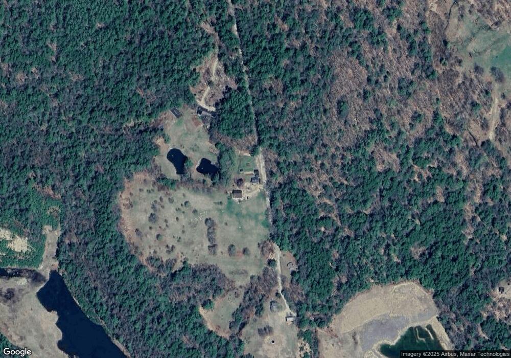
Map
Nearby Homes
- 41 Foss Flats Rd
- 385 Beede Flats Rd
- 385 Jackman Pond Rd
- 898 & 900 Bunker Hill Rd
- 900 Bunker Hill Rd
- 898 Bunker Hill Rd
- 1252 Bearcamp Hwy
- 659 N Sandwich Rd
- 00 Middle Rd Unit 23
- 347 Chase Rd
- 13 Mill Rd
- 829 Bearcamp Hwy
- 410-46 Hannah Rd
- 00 Partridge Hill Rd Unit 17
- 55 Hollow Hill Rd
- 27 Butternut Ln
- 515 Hollow Hill Rd
- 454 Little Pond Rd
- 4 Whittier Rd
- 96 Bryant Mill Rd
- 95 Currier Ln
- 39 Currier Ln
- 200 Stevenson Hill Rd
- Lot 143 Stevenson Dr
- Lot 142 Stevenson Dr
- Lot 152 Stevenson Dr
- Lot 152 Stevenson Dr Unit 152
- 148 Stevenson Hill Rd
- 2153 Cleveland Hill Rd
- 112 Pine Ground Rd
- 103 Stevenson Hill Rd
- 143 Mcgrew Dr
- 191 Mcgrew Dr
- 15 Meader Rd
- 0 Foss Flats Rd
- 109 Meader Rd
- 85 Bridge View Rd
- 134 Stevenson Hill Rd
- 2004 Cleveland Hill Rd
- Lot 42 Foss Flats