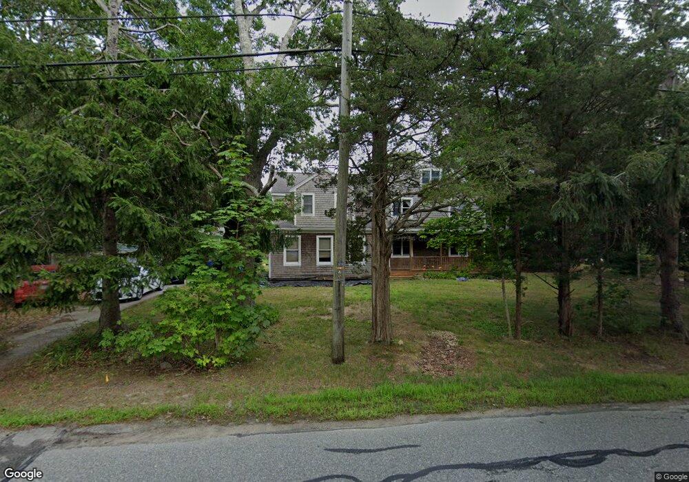
63 Depot Rd Bourne, MA 2532
Cataumet NeighborhoodEstimated Value: $801,000 - $1,008,000
4
Beds
2
Baths
2,876
Sq Ft
$308/Sq Ft
Est. Value
About This Home
This home is located at 63 Depot Rd, Bourne, MA 2532 and is currently estimated at $886,000, approximately $308 per square foot. 63 Depot Rd is a home located in Barnstable County with nearby schools including Bourne High School, Cadence Academy Preschool - Bourne, and Heritage Christian Academy.
Create a Home Valuation Report for This Property
The Home Valuation Report is an in-depth analysis detailing your home's value as well as a comparison with similar homes in the area
Home Values in the Area
Average Home Value in this Area
Tax History
| Year | Tax Paid | Tax Assessment Tax Assessment Total Assessment is a certain percentage of the fair market value that is determined by local assessors to be the total taxable value of land and additions on the property. | Land | Improvement |
|---|---|---|---|---|
| 2025 | $5,715 | $731,800 | $244,000 | $487,800 |
| 2024 | $5,588 | $696,700 | $232,300 | $464,400 |
| 2023 | $5,437 | $617,100 | $205,600 | $411,500 |
| 2022 | $5,509 | $546,000 | $218,400 | $327,600 |
| 2021 | $5,359 | $497,600 | $198,700 | $298,900 |
| 2020 | $5,359 | $499,000 | $196,800 | $302,200 |
| 2019 | $5,070 | $482,400 | $196,800 | $285,600 |
| 2018 | $4,846 | $459,800 | $187,500 | $272,300 |
| 2017 | $4,753 | $461,500 | $191,900 | $269,600 |
| 2016 | $4,628 | $455,500 | $191,900 | $263,600 |
| 2015 | $4,462 | $443,100 | $179,500 | $263,600 |
Source: Public Records
Map
Nearby Homes
- 15 Oak Ave
- 1234 Route 28a
- 1234 Route 28a
- 48 Red Brook Harbor Rd
- 31 Baxendale Rd
- 75 Winsor Rd
- 289 Old Main Rd
- 28 Nathan Ellis Hwy
- 16 Michael Rd
- 254 Barlows Landing Rd
- 3 4th Ave
- 7 4th Ave
- 709 County Rd
- 14 Ryder Rd
- 3 1st St
- 393 N Falmouth Hwy Unit 8
- 209 Waterside Dr
- 14 Navajo Rd
- 91 Wickertree Rd
- 10 Rockledge Dr
Your Personal Tour Guide
Ask me questions while you tour the home.