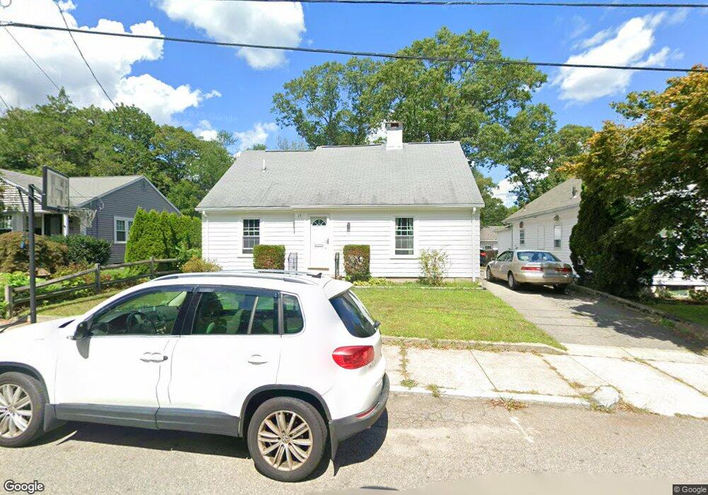
63 Elmwood Ave Attleboro, MA 02703
Estimated Value: $489,284 - $615,000
4
Beds
2
Baths
1,727
Sq Ft
$318/Sq Ft
Est. Value
About This Home
This home is located at 63 Elmwood Ave, Attleboro, MA 02703 and is currently estimated at $549,321, approximately $318 per square foot. 63 Elmwood Ave is a home located in Bristol County with nearby schools including A. Irvin Studley Elementary School, Cyril K. Brennan Middle School, and Attleboro High School.
Ownership History
Date
Name
Owned For
Owner Type
Purchase Details
Closed on
Mar 28, 2018
Sold by
Mason Kara J and Mason Mark A
Bought by
Mason Kara J and Mason Mark A
Current Estimated Value
Purchase Details
Closed on
Dec 27, 2000
Sold by
Collins Donald H and Collins Stephen N
Bought by
Collins Bruce T
Home Financials for this Owner
Home Financials are based on the most recent Mortgage that was taken out on this home.
Original Mortgage
$65,000
Interest Rate
7.7%
Mortgage Type
Purchase Money Mortgage
Purchase Details
Closed on
Oct 17, 1990
Sold by
Collins Jennie S Est
Bought by
Collins Bruce T
Create a Home Valuation Report for This Property
The Home Valuation Report is an in-depth analysis detailing your home's value as well as a comparison with similar homes in the area
Home Values in the Area
Average Home Value in this Area
Purchase History
| Date | Buyer | Sale Price | Title Company |
|---|---|---|---|
| Mason Kara J | -- | -- | |
| Collins Bruce T | $61,000 | -- | |
| Collins Bruce T | $125,000 | -- |
Source: Public Records
Mortgage History
| Date | Status | Borrower | Loan Amount |
|---|---|---|---|
| Previous Owner | Collins Bruce T | $65,000 |
Source: Public Records
Tax History Compared to Growth
Tax History
| Year | Tax Paid | Tax Assessment Tax Assessment Total Assessment is a certain percentage of the fair market value that is determined by local assessors to be the total taxable value of land and additions on the property. | Land | Improvement |
|---|---|---|---|---|
| 2025 | $5,172 | $412,100 | $157,700 | $254,400 |
| 2024 | $4,834 | $379,700 | $142,000 | $237,700 |
| 2023 | $4,745 | $346,600 | $143,300 | $203,300 |
| 2022 | $4,523 | $313,000 | $136,400 | $176,600 |
| 2021 | $4,425 | $299,000 | $131,200 | $167,800 |
| 2020 | $4,205 | $288,800 | $125,400 | $163,400 |
| 2019 | $3,970 | $280,400 | $122,900 | $157,500 |
| 2018 | $5,502 | $257,100 | $119,400 | $137,700 |
| 2017 | $3,654 | $251,100 | $116,300 | $134,800 |
Source: Public Records
Map
Nearby Homes
- 21 Dennis St
- 49 Dennis St
- 49 Bushee St
- 17 Jewel Ave
- 52 Hawthorne St
- 22 Oakland Ave Unit 1
- 24 Oakland Ave Unit 1
- 46 Berwick Rd
- 34 Hawthorne St
- 64 Mechanic St Unit 3
- 64 Mechanic St
- 125 County St
- 31 Verndale Ave
- 121 County St
- 309 Thacher St
- 41 Garden St Unit A
- 62 Garden St Unit 3
- 17 1st St
- 72 Alder St
- 62 Elizabeth St
- 61 Elmwood Ave
- 71 Elmwood Ave
- 57 Elmwood Ave
- 77 Elmwood Ave
- 53 Elmwood Ave
- 54 Oakridge Ave
- 79 Elmwood Ave
- 101 Elm Ln
- 45 Elmwood Ave
- 96 Oakridge Ave
- 61 Oakridge Ave
- 63 Oakridge Ave
- 48 Oakridge Ave
- 37 Elmwood Ave
- 53 Oakridge Ave
- 65 Oakridge Ave
- 51 Oakridge Ave
- 29 Elmwood Ave
- 14 Rathbun Willard Dr
- 16 Rathbun Willard Dr