63 Fire Lane 13 Center Barnstead, NH 03225
Estimated Value: $555,000 - $668,805
3
Beds
3
Baths
1,819
Sq Ft
$336/Sq Ft
Est. Value
About This Home
This home is located at 63 Fire Lane 13, Center Barnstead, NH 03225 and is currently estimated at $611,201, approximately $336 per square foot. 63 Fire Lane 13 is a home with nearby schools including Barnstead Elementary School and Prospect Mountain High School.
Ownership History
Date
Name
Owned For
Owner Type
Purchase Details
Closed on
Jul 16, 2025
Sold by
Mawn Sean M and Mawn Holly W
Bought by
Sean & Holly Mawn Ft and Mawn
Current Estimated Value
Purchase Details
Closed on
Jun 12, 2017
Sold by
Nuccitelli Robert J
Bought by
Mawn Sean M and Mawn Holly W
Create a Home Valuation Report for This Property
The Home Valuation Report is an in-depth analysis detailing your home's value as well as a comparison with similar homes in the area
Home Values in the Area
Average Home Value in this Area
Purchase History
| Date | Buyer | Sale Price | Title Company |
|---|---|---|---|
| Sean & Holly Mawn Ft | -- | -- | |
| Mawn Sean M | $280,000 | -- | |
| Mawn Sean M | $280,000 | -- |
Source: Public Records
Tax History Compared to Growth
Tax History
| Year | Tax Paid | Tax Assessment Tax Assessment Total Assessment is a certain percentage of the fair market value that is determined by local assessors to be the total taxable value of land and additions on the property. | Land | Improvement |
|---|---|---|---|---|
| 2024 | $9,375 | $574,800 | $310,800 | $264,000 |
| 2023 | $8,248 | $574,800 | $310,800 | $264,000 |
| 2022 | $6,798 | $314,700 | $127,000 | $187,700 |
| 2021 | $6,911 | $314,700 | $127,000 | $187,700 |
| 2020 | $24 | $314,700 | $127,000 | $187,700 |
| 2019 | $1,520 | $290,700 | $127,000 | $163,700 |
| 2018 | $6,924 | $287,500 | $127,000 | $160,500 |
| 2017 | $7,390 | $255,700 | $121,300 | $134,400 |
| 2016 | $6,968 | $255,700 | $121,300 | $134,400 |
| 2015 | $6,942 | $255,700 | $121,300 | $134,400 |
| 2014 | $6,246 | $260,700 | $121,300 | $139,400 |
| 2013 | $6,126 | $260,700 | $121,300 | $139,400 |
Source: Public Records
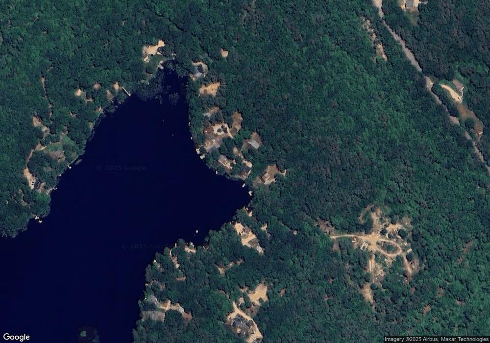
Map
Nearby Homes
- 93 E Huntress Pond Rd
- 22-54 Red Oak Rd
- 41 Pinepark Dr
- M10 L26-3 Valley Dam Rd
- 16 Ridge Rd
- 109 Shackford Corner Rd
- Lot 33 Ridge Rd
- 4 Sandy Point Rd
- 277 Shackford Corner Rd
- 4 Parade Cir
- 25 Vail Rd
- 418 Narrows Rd
- 77 Vail Rd
- 109 Vail Rd
- 260 Garland Rd
- L68-1 Vail Rd
- 11 Gray Rd
- 0 Andover Dr Unit 106 5059711
- L33 Province Rd
- L68-2 Vail Rd
- 65 Fire Lane 13
- 59 Fire Lane 13
- 61 E Huntress Pond Rd
- 57 Fire Lane 13
- 51 Fire Lane 13
- 85 E Huntress Pond Rd
- 53 E Huntress Pond Rd
- 47 Fire Lane 13
- 88 E Huntress Pond Rd
- 97 E Huntress Pond Rd
- 92 E Huntress Pond Rd
- 43 E Huntress Pond Rd
- 104 E Huntress Pond Rd
- 107 E Huntress Pond Rd
- 6 W Huntress Pond Rd
- 109 E Huntress Pond Rd
- Lot 82 Red Oak Rd
- 114 E Huntress Pond Rd
- 109 E Huntress Rd
- 113 E Huntress Pond Rd