63 Heather Cir Jefferson, MA 01522
Estimated Value: $571,384 - $679,000
3
Beds
3
Baths
2,057
Sq Ft
$305/Sq Ft
Est. Value
About This Home
This home is located at 63 Heather Cir, Jefferson, MA 01522 and is currently estimated at $627,596, approximately $305 per square foot. 63 Heather Cir is a home located in Worcester County with nearby schools including Wachusett Regional High School and Holden Christian Academy.
Ownership History
Date
Name
Owned For
Owner Type
Purchase Details
Closed on
Apr 30, 2008
Sold by
Munroe John P and Munroe Nancy E
Bought by
Gustafson Eric P and Gustafson Maleah F
Current Estimated Value
Home Financials for this Owner
Home Financials are based on the most recent Mortgage that was taken out on this home.
Original Mortgage
$303,450
Interest Rate
5.99%
Mortgage Type
Purchase Money Mortgage
Purchase Details
Closed on
Oct 29, 2002
Sold by
Dubois Charles and Dubois Keith B
Bought by
Munroe John P and Munroe Nancy E
Create a Home Valuation Report for This Property
The Home Valuation Report is an in-depth analysis detailing your home's value as well as a comparison with similar homes in the area
Home Values in the Area
Average Home Value in this Area
Purchase History
We collect this data history from publicly available records. To have your information removed, we recommend requesting removal directly through your county’s website.
| Date | Buyer | Sale Price | Title Company |
|---|---|---|---|
| Gustafson Eric P | $357,000 | -- | |
| Munroe John P | $355,000 | -- |
Source: Public Records
Mortgage History
We collect this data history from publicly available records. To have your information removed, we recommend requesting removal directly through your county’s website.
| Date | Status | Borrower | Loan Amount |
|---|---|---|---|
| Open | Munroe John P | $296,000 | |
| Closed | Gustafson Eric P | $303,450 |
Source: Public Records
Tax History
| Year | Tax Paid | Tax Assessment Tax Assessment Total Assessment is a certain percentage of the fair market value that is determined by local assessors to be the total taxable value of land and additions on the property. | Land | Improvement |
|---|---|---|---|---|
| 2025 | $7,568 | $546,000 | $184,700 | $361,300 |
| 2024 | $7,232 | $511,100 | $179,300 | $331,800 |
| 2023 | $6,850 | $457,000 | $155,900 | $301,100 |
| 2022 | $6,526 | $394,100 | $126,100 | $268,000 |
| 2021 | $6,414 | $368,600 | $124,200 | $244,400 |
| 2020 | $6,207 | $365,100 | $118,300 | $246,800 |
| 2019 | $6,083 | $348,600 | $118,300 | $230,300 |
| 2018 | $6,081 | $345,300 | $112,700 | $232,600 |
| 2017 | $5,917 | $336,400 | $116,500 | $219,900 |
| 2016 | $5,489 | $318,200 | $110,900 | $207,300 |
| 2015 | $5,581 | $308,000 | $110,900 | $197,100 |
| 2014 | $5,467 | $308,000 | $110,900 | $197,100 |
Source: Public Records
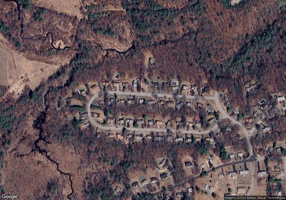
Map
Nearby Homes
- 188 Princeton St
- 30 Cimarron Ln
- 68 Princeton St
- 26 Eagle Terrace
- 52 Vicksburg Cir
- 34 Fort Sumter Dr
- 1429 Main St
- 263 Highland St
- 1138 Wachusett St
- 4 Deanna Dr
- 64 Kendall Rd
- 78 Highland St
- 64 Deanna Dr
- 8 Elmwood Ave
- 81 Deanna Dr
- 376 Elmwood Ave
- 396 Elmwood Ave
- Lots 4R/5R Bryant Rd
- 85 Bailey Rd
- 884 Main St
Your Personal Tour Guide
Ask me questions while you tour the home.