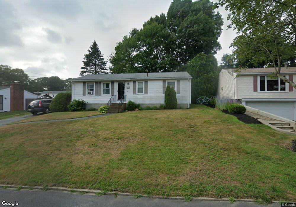
63 Hollow Tree Dr Cranston, RI 02920
Mayfield NeighborhoodEstimated Value: $374,508 - $404,000
3
Beds
1
Bath
1,008
Sq Ft
$389/Sq Ft
Est. Value
About This Home
This home is located at 63 Hollow Tree Dr, Cranston, RI 02920 and is currently estimated at $392,127, approximately $389 per square foot. 63 Hollow Tree Dr is a home located in Providence County with nearby schools including Garden City School, Western Hills Middle School, and Cranston High School West.
Ownership History
Date
Name
Owned For
Owner Type
Purchase Details
Closed on
Jan 29, 2004
Sold by
Birch Kenyon and Birch Carmela
Bought by
Curran Matthew and Carr Bethany
Current Estimated Value
Home Financials for this Owner
Home Financials are based on the most recent Mortgage that was taken out on this home.
Original Mortgage
$150,000
Outstanding Balance
$69,216
Interest Rate
5.82%
Mortgage Type
Purchase Money Mortgage
Estimated Equity
$322,911
Create a Home Valuation Report for This Property
The Home Valuation Report is an in-depth analysis detailing your home's value as well as a comparison with similar homes in the area
Home Values in the Area
Average Home Value in this Area
Purchase History
| Date | Buyer | Sale Price | Title Company |
|---|---|---|---|
| Curran Matthew | $150,000 | -- |
Source: Public Records
Mortgage History
| Date | Status | Borrower | Loan Amount |
|---|---|---|---|
| Open | Curran Matthew | $16,000 | |
| Open | Curran Matthew | $150,000 |
Source: Public Records
Tax History
| Year | Tax Paid | Tax Assessment Tax Assessment Total Assessment is a certain percentage of the fair market value that is determined by local assessors to be the total taxable value of land and additions on the property. | Land | Improvement |
|---|---|---|---|---|
| 2025 | $4,082 | $294,100 | $112,400 | $181,700 |
| 2024 | $4,003 | $294,100 | $112,400 | $181,700 |
| 2023 | $3,920 | $207,400 | $74,000 | $133,400 |
| 2022 | $3,839 | $207,400 | $74,000 | $133,400 |
| 2021 | $3,733 | $207,400 | $74,000 | $133,400 |
| 2020 | $3,558 | $171,300 | $70,500 | $100,800 |
| 2019 | $3,558 | $171,300 | $70,500 | $100,800 |
| 2018 | $3,476 | $171,300 | $70,500 | $100,800 |
| 2017 | $3,409 | $148,600 | $63,400 | $85,200 |
| 2016 | $3,336 | $148,600 | $63,400 | $85,200 |
| 2015 | $3,336 | $148,600 | $63,400 | $85,200 |
| 2014 | $3,278 | $143,500 | $63,400 | $80,100 |
Source: Public Records
Map
Nearby Homes
- 16 Flynn Ave
- 5 High St
- 10 East St Unit 316
- 14 W Natick Rd
- 115 Edman St
- 123 Edman St
- 165 Graystone St
- 892 Halifax Dr
- 69 Haverhill Ave
- 6 Lillian Ct
- 64 Cliffside Dr
- 20 Manilla Ave
- 333 Greenwood Ave
- 12 Railroad Row
- 78 Wilbur Ave
- 77 Kentucky Ave
- 82 Mountain Laurel Dr
- 46 Hornbeam Dr
- 61 Crossland Rd
- 7 Michigan Ave
- 69 Hollow Tree Dr
- 57 Hollow Tree Dr
- 62 Wellspring Dr
- 56 Wellspring Dr
- 68 Wellspring Dr
- 60 Hollow Tree Dr
- 66 Hollow Tree Dr
- 50 Wellspring Dr
- 75 Hollow Tree Dr
- 54 Hollow Tree Dr
- 26 Birchview Dr
- 6 Birchview Dr
- 42 Wellspring Dr
- 43 Hollow Tree Dr
- 48 Hollow Tree Dr
- 53 Wellspring Dr
- 55 Newwood Dr
- 36 Wellspring Dr
- 84 Hollow Tree Dr
- 43 Wellspring Dr
Your Personal Tour Guide
Ask me questions while you tour the home.