63 Lindsay Trail Edwards, CO 81632
Estimated Value: $2,671,551 - $3,344,000
5
Beds
4
Baths
3,822
Sq Ft
$774/Sq Ft
Est. Value
About This Home
This home is located at 63 Lindsay Trail, Edwards, CO 81632 and is currently estimated at $2,957,138, approximately $773 per square foot. 63 Lindsay Trail is a home located in Eagle County with nearby schools including Berry Creek Middle School, Battle Mountain High School, and Eagle County Charter Academy.
Ownership History
Date
Name
Owned For
Owner Type
Purchase Details
Closed on
Dec 1, 2010
Sold by
Townsend Douglas S and Townsend Heather M
Bought by
Amoroso Christian and Amoroso Natalie Winn
Current Estimated Value
Purchase Details
Closed on
Sep 8, 2006
Sold by
The Patrick S Horvath Principal Trust
Bought by
Townsend Douglas S and Townsend Heather M
Purchase Details
Closed on
Jul 28, 2003
Sold by
Anderson Dennis C and Anderson Carol
Bought by
Patrick S Horvath Principal Residence Tr
Purchase Details
Closed on
Nov 6, 1998
Sold by
Warner Developments Inc
Bought by
Anderson Dennis C and Anderson Carol
Home Financials for this Owner
Home Financials are based on the most recent Mortgage that was taken out on this home.
Original Mortgage
$370,000
Interest Rate
6.46%
Create a Home Valuation Report for This Property
The Home Valuation Report is an in-depth analysis detailing your home's value as well as a comparison with similar homes in the area
Home Values in the Area
Average Home Value in this Area
Purchase History
| Date | Buyer | Sale Price | Title Company |
|---|---|---|---|
| Amoroso Christian | $1,030,000 | Stewart Title | |
| Townsend Douglas S | $1,120,000 | Title Company Of Rockies Inc | |
| Patrick S Horvath Principal Residence Tr | $735,000 | Stewart Title | |
| Anderson Dennis C | $580,000 | Stewart Title |
Source: Public Records
Mortgage History
| Date | Status | Borrower | Loan Amount |
|---|---|---|---|
| Previous Owner | Anderson Dennis C | $370,000 |
Source: Public Records
Tax History Compared to Growth
Tax History
| Year | Tax Paid | Tax Assessment Tax Assessment Total Assessment is a certain percentage of the fair market value that is determined by local assessors to be the total taxable value of land and additions on the property. | Land | Improvement |
|---|---|---|---|---|
| 2024 | $8,092 | $155,760 | $29,450 | $126,310 |
| 2023 | $8,092 | $155,760 | $29,450 | $126,310 |
| 2022 | $5,191 | $86,710 | $29,540 | $57,170 |
| 2021 | $5,264 | $89,210 | $30,390 | $58,820 |
| 2020 | $4,659 | $79,330 | $28,600 | $50,730 |
| 2019 | $4,633 | $79,330 | $28,600 | $50,730 |
| 2018 | $4,802 | $80,340 | $26,010 | $54,330 |
| 2017 | $4,752 | $80,340 | $26,010 | $54,330 |
| 2016 | $4,952 | $83,380 | $24,380 | $59,000 |
| 2015 | -- | $83,380 | $24,380 | $59,000 |
| 2014 | $3,507 | $64,090 | $13,770 | $50,320 |
Source: Public Records
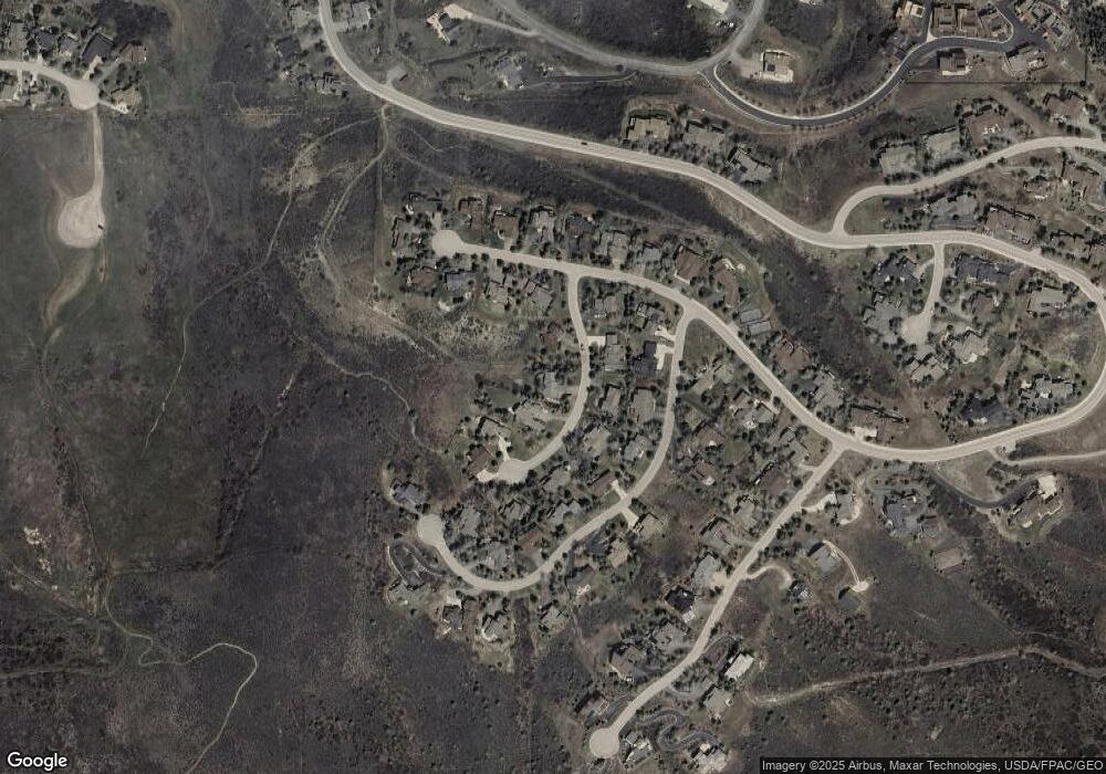
Map
Nearby Homes
- 85 Remington Trail
- 11 Russell Trail
- 50 Andover Trail
- 92 Edwards Pointe Point
- 79 Cassidy Place
- 295 Main St Unit R204
- 295 Main St Unit R305
- 295 Main St Unit R306
- 295 Main St Unit R201
- 40 River Pines Ct Unit B307
- 216 Main St Unit R316
- 1000 Homestead Dr Unit 7
- 1000 Homestead Dr Unit 19
- 1000 Homestead Dr Unit 30
- 1000 Homestead Dr Unit 4
- 55 River Pines Ct Unit A204
- 65 Spring Creek Ct
- 880 Homestead Dr Unit H30
- 225 Main St Unit R304
- 34295 U S 6 Unit 201
- 85 Lindsay Trail
- 33 Lindsay Trail
- 107 Lindsay Trail
- 64 Lindsay Trail
- 44 Lindsay Trail
- 76 Lindsay Trail
- 1032 Gold Dust Dr
- 119 Lindsay Trail
- 1054 Gold Dust Dr
- 94 Lindsay Trail
- 14 Lindsay Trail
- 109 Remington Rd
- 1070 Gold Dust Dr
- 85 Remington Rd
- 135 Remington Trail
- 122 Lindsay Trail
- 11 Remington Rd
- 237 Remington Trail
- 130 Remington Trail
- 31 Remington Trail