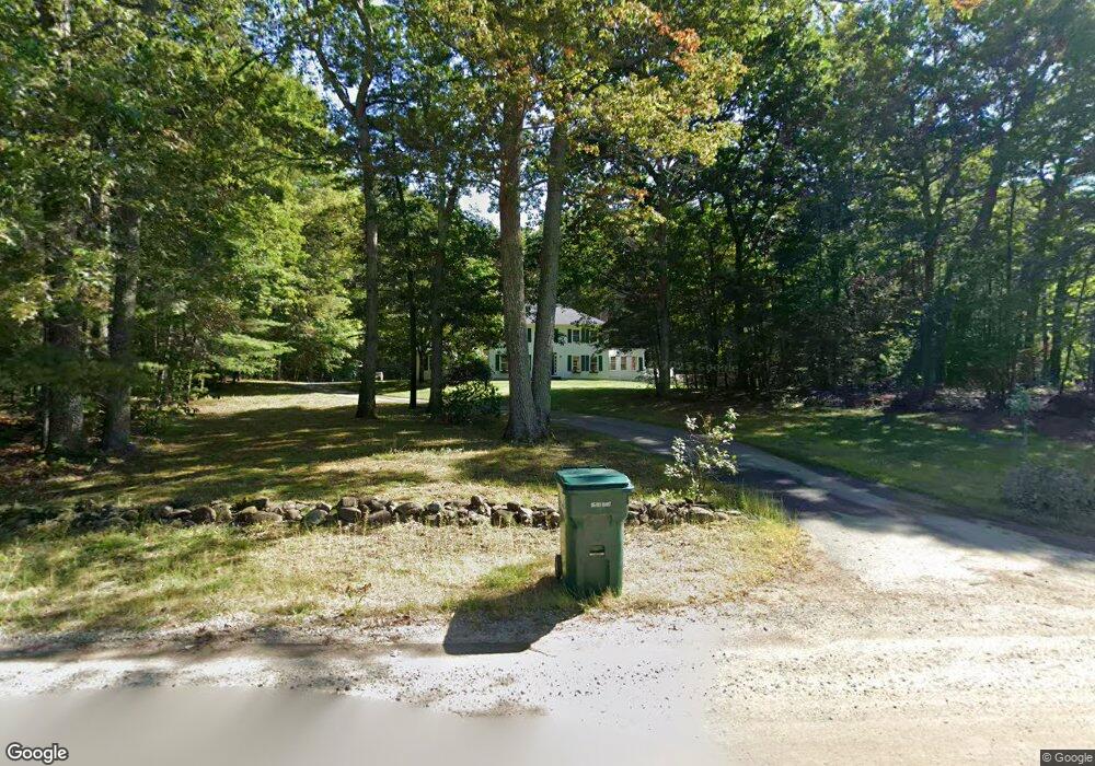
63 Nartoff Rd Hollis, NH 03049
Hollis NeighborhoodEstimated Value: $827,332 - $1,147,000
3
Beds
3
Baths
2,554
Sq Ft
$375/Sq Ft
Est. Value
About This Home
This home is located at 63 Nartoff Rd, Hollis, NH 03049 and is currently estimated at $958,083, approximately $375 per square foot. 63 Nartoff Rd is a home located in Hillsborough County with nearby schools including Hollis Primary School, Hollis Upper Elementary School, and Hollis-Brookline Middle School.
Ownership History
Date
Name
Owned For
Owner Type
Purchase Details
Closed on
Apr 22, 2021
Sold by
Dinbergs Arturs E and Dinbergs Christine D
Bought by
Dinbergs Ft
Current Estimated Value
Purchase Details
Closed on
Oct 1, 2008
Sold by
Mangino Reed R and Mangino Bonnie W
Bought by
Dinbergs Arturs E and Dinbergs Christine D
Home Financials for this Owner
Home Financials are based on the most recent Mortgage that was taken out on this home.
Original Mortgage
$360,000
Interest Rate
6.54%
Mortgage Type
Purchase Money Mortgage
Create a Home Valuation Report for This Property
The Home Valuation Report is an in-depth analysis detailing your home's value as well as a comparison with similar homes in the area
Home Values in the Area
Average Home Value in this Area
Purchase History
| Date | Buyer | Sale Price | Title Company |
|---|---|---|---|
| Dinbergs Ft | -- | None Available | |
| Dinbergs Arturs E | $522,500 | -- |
Source: Public Records
Mortgage History
| Date | Status | Borrower | Loan Amount |
|---|---|---|---|
| Previous Owner | Dinbergs Arturs E | $332,150 | |
| Previous Owner | Dinbergs Arturs E | $353,000 | |
| Previous Owner | Dinbergs Arturs E | $360,000 |
Source: Public Records
Tax History Compared to Growth
Tax History
| Year | Tax Paid | Tax Assessment Tax Assessment Total Assessment is a certain percentage of the fair market value that is determined by local assessors to be the total taxable value of land and additions on the property. | Land | Improvement |
|---|---|---|---|---|
| 2024 | $11,923 | $672,500 | $277,000 | $395,500 |
| 2023 | $11,204 | $672,500 | $277,000 | $395,500 |
| 2022 | $15,178 | $672,500 | $277,000 | $395,500 |
| 2021 | $9,754 | $429,700 | $180,200 | $249,500 |
| 2020 | $9,960 | $429,700 | $180,200 | $249,500 |
| 2019 | $9,926 | $429,700 | $180,200 | $249,500 |
| 2018 | $9,312 | $429,700 | $180,200 | $249,500 |
| 2017 | $8,943 | $386,300 | $155,600 | $230,700 |
| 2016 | $9,051 | $386,300 | $155,600 | $230,700 |
| 2015 | $8,893 | $386,300 | $155,600 | $230,700 |
| 2014 | $8,935 | $386,300 | $155,600 | $230,700 |
| 2013 | $8,815 | $386,300 | $155,600 | $230,700 |
Source: Public Records
Map
Nearby Homes
- 199 Pine Hill Rd
- 334 Broad St
- 22 Cathedral Cir
- 76 Bartemus Trail Unit U231
- 11 Bartemus Trail Unit 204
- 6 Cornwall Ln Unit 7
- 14 Parrish Hill Dr
- 3 Richmond St
- 4 Nelson St
- 5 Meghan Dr Unit U23
- 424 Broad St
- 20 Martha St
- 46 Scenic Dr
- 27 Country Hill Rd Unit U90
- 118 Broad St
- 11 Rideout Rd
- 40-40A Pine Hill Rd
- 5 Plainfield Ln
- 4 Chesapeake Rd
- 11 Inca Dr