63 Pattys Rd Mansfield, MA 02048
Estimated Value: $924,524 - $1,027,000
4
Beds
3
Baths
2,958
Sq Ft
$327/Sq Ft
Est. Value
About This Home
This home is located at 63 Pattys Rd, Mansfield, MA 02048 and is currently estimated at $967,131, approximately $326 per square foot. 63 Pattys Rd is a home located in Bristol County with nearby schools including Jordan/Jackson Elementary School, Everett W. Robinson Elementary School, and Harold L. Qualters Middle School.
Ownership History
Date
Name
Owned For
Owner Type
Purchase Details
Closed on
Oct 12, 2022
Sold by
Mcquiggan Richard W and Mcquiggan Irene
Bought by
Mcquiggan Ft
Current Estimated Value
Purchase Details
Closed on
Sep 22, 1994
Sold by
Remus Rt
Bought by
Mcquigan Richard and Mcquigan Irene
Create a Home Valuation Report for This Property
The Home Valuation Report is an in-depth analysis detailing your home's value as well as a comparison with similar homes in the area
Home Values in the Area
Average Home Value in this Area
Purchase History
| Date | Buyer | Sale Price | Title Company |
|---|---|---|---|
| Mcquiggan Ft | -- | None Available | |
| Mcquigan Richard | $70,000 | -- |
Source: Public Records
Mortgage History
| Date | Status | Borrower | Loan Amount |
|---|---|---|---|
| Previous Owner | Mcquigan Richard | $40,000 | |
| Previous Owner | Mcquigan Richard | $110,000 | |
| Previous Owner | Mcquigan Richard | $100,000 |
Source: Public Records
Tax History
| Year | Tax Paid | Tax Assessment Tax Assessment Total Assessment is a certain percentage of the fair market value that is determined by local assessors to be the total taxable value of land and additions on the property. | Land | Improvement |
|---|---|---|---|---|
| 2025 | $10,420 | $791,200 | $278,100 | $513,100 |
| 2024 | $10,353 | $766,900 | $290,200 | $476,700 |
| 2023 | $9,952 | $706,300 | $290,200 | $416,100 |
| 2022 | $9,548 | $629,400 | $268,600 | $360,800 |
| 2021 | $9,288 | $604,700 | $223,900 | $380,800 |
| 2020 | $4,186 | $594,600 | $223,900 | $370,700 |
| 2019 | $8,657 | $568,800 | $186,500 | $382,300 |
| 2018 | $8,612 | $553,100 | $177,800 | $375,300 |
| 2017 | $3,376 | $537,800 | $172,800 | $365,000 |
| 2016 | $7,734 | $501,900 | $164,500 | $337,400 |
| 2015 | $7,513 | $484,700 | $164,500 | $320,200 |
Source: Public Records
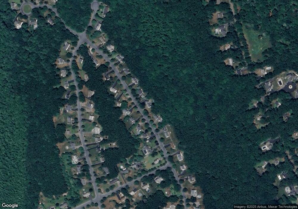
Map
Nearby Homes
- 73 Elyse Rd
- 890 Maple St
- 26 Fredric Ln
- 3 Willow St
- 117 Allen Rd
- 261 East St
- 251 Poquanticut Ave
- 4 Erick Rd Unit 90
- 3 Angela Dr
- 34 Kevins Way
- 26 Kathleen Grant Rd
- 631 East St Unit L101
- 6 Kingsley Rd
- 15 Coach Rd
- 9 Independence Dr Unit 9
- 3 Wampanoag Rd
- 15 Randall Farm Dr
- 157 Highland St
- 4 Eagle Rock Rd
- 350 Mountain St
Your Personal Tour Guide
Ask me questions while you tour the home.