63 Pecks Rd Dahlonega, GA 30533
Estimated Value: $226,779 - $327,000
--
Bed
2
Baths
1,408
Sq Ft
$187/Sq Ft
Est. Value
About This Home
This home is located at 63 Pecks Rd, Dahlonega, GA 30533 and is currently estimated at $263,445, approximately $187 per square foot. 63 Pecks Rd is a home located in Lumpkin County with nearby schools including Lumpkin County High School.
Ownership History
Date
Name
Owned For
Owner Type
Purchase Details
Closed on
Nov 20, 2009
Sold by
Brewer Lloyd Preston
Bought by
Zayas Maria
Current Estimated Value
Home Financials for this Owner
Home Financials are based on the most recent Mortgage that was taken out on this home.
Original Mortgage
$132,653
Outstanding Balance
$86,529
Interest Rate
4.98%
Mortgage Type
New Conventional
Estimated Equity
$176,916
Purchase Details
Closed on
Dec 1, 1985
Bought by
Brewer Lloyd Preston
Create a Home Valuation Report for This Property
The Home Valuation Report is an in-depth analysis detailing your home's value as well as a comparison with similar homes in the area
Home Values in the Area
Average Home Value in this Area
Purchase History
| Date | Buyer | Sale Price | Title Company |
|---|---|---|---|
| Zayas Maria | $130,000 | -- | |
| Brewer Lloyd Preston | -- | -- |
Source: Public Records
Mortgage History
| Date | Status | Borrower | Loan Amount |
|---|---|---|---|
| Open | Zayas Maria | $132,653 |
Source: Public Records
Tax History Compared to Growth
Tax History
| Year | Tax Paid | Tax Assessment Tax Assessment Total Assessment is a certain percentage of the fair market value that is determined by local assessors to be the total taxable value of land and additions on the property. | Land | Improvement |
|---|---|---|---|---|
| 2024 | $23 | $70,655 | $7,602 | $63,053 |
| 2023 | $0 | $65,786 | $7,105 | $58,681 |
| 2022 | $1,432 | $57,847 | $5,922 | $51,925 |
| 2021 | $1,384 | $48,783 | $5,922 | $42,861 |
| 2020 | $1,342 | $47,288 | $5,672 | $41,616 |
| 2019 | $1,206 | $47,288 | $5,672 | $41,616 |
| 2018 | $1,146 | $42,396 | $5,672 | $36,724 |
| 2017 | $1,124 | $40,860 | $5,672 | $35,188 |
| 2016 | $1,021 | $36,153 | $5,672 | $30,481 |
| 2015 | $910 | $36,154 | $5,672 | $30,481 |
| 2014 | $910 | $36,523 | $5,672 | $30,851 |
| 2013 | -- | $36,893 | $5,672 | $31,220 |
Source: Public Records
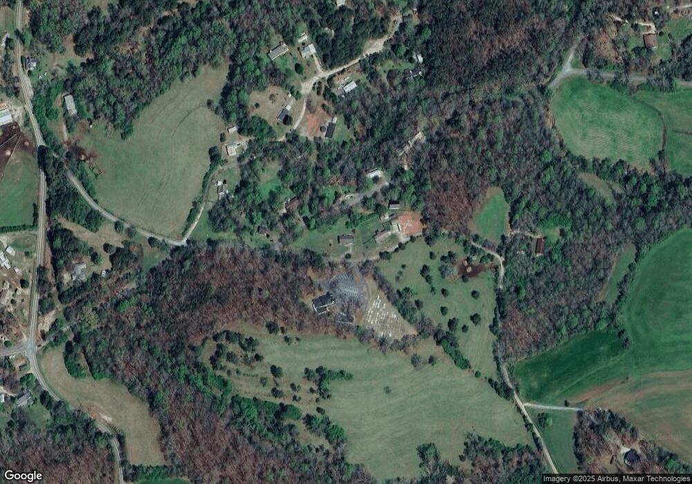
Map
Nearby Homes
- 151 Norris Rd
- 219 John Garner Rd
- 0 Myrtle Dr Unit 10607430
- 0 Myrtle Dr Unit 7650061
- 118 Pine Corner Dr
- 119 Pine Corner Dr
- 112 Pine Corner Dr
- 238 Sunrise Trail
- 136 Ladyslipper Ln
- 1405 Mount Olive Church Rd
- 1433 Mount Olive Church Rd
- 1320 Claude Parks Rd
- 94 King Arthur Ct
- 0 Conner Dr
- 6518 Payne Rd
- 865 Iberian Rd
- 88 Fleet Dr
- 33 Lion Ct
- 121 Pecks Rd
- 312 Mount Olive Church Rd
- 301 Mount Olive Church Rd
- 271 Mount Olive Church Rd
- 220 Mount Olive Church Rd
- 343 Mount Olive Church Rd
- 243 Mount Olive Church Rd
- 146 Norris Rd
- 373 Mount Olive Church Rd
- 0 Norris Rd Unit 7142774
- 0 Norris Rd Unit 8652573
- 0 Norris Rd Unit 3240584
- 74 Norris Rd
- 2779 Old Dahlonega Hwy
- 73 Norris Rd
- 198 Norris Rd
- 2 Norris Rd
- 7023 Pony Lake Rd
- 209 Norris Rd
- 266 Norris Rd