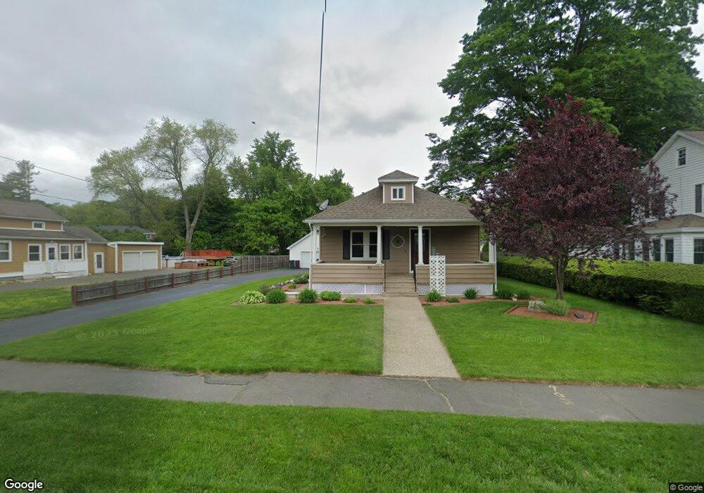
63 S Maple St Westfield, MA 01085
Estimated Value: $334,000 - $381,000
2
Beds
2
Baths
1,438
Sq Ft
$247/Sq Ft
Est. Value
About This Home
This home is located at 63 S Maple St, Westfield, MA 01085 and is currently estimated at $355,350, approximately $247 per square foot. 63 S Maple St is a home located in Hampden County with nearby schools including Westfield High School and Saint Mary High School.
Ownership History
Date
Name
Owned For
Owner Type
Purchase Details
Closed on
Jun 26, 1997
Sold by
Teodore Gary and Teodore Patricia
Bought by
Kennedy Keith D and Kennedy Sharon M
Current Estimated Value
Home Financials for this Owner
Home Financials are based on the most recent Mortgage that was taken out on this home.
Original Mortgage
$111,078
Interest Rate
7.81%
Mortgage Type
Purchase Money Mortgage
Purchase Details
Closed on
Jun 29, 1990
Sold by
Liptak Donald F
Bought by
Teodore Gary L
Create a Home Valuation Report for This Property
The Home Valuation Report is an in-depth analysis detailing your home's value as well as a comparison with similar homes in the area
Home Values in the Area
Average Home Value in this Area
Purchase History
| Date | Buyer | Sale Price | Title Company |
|---|---|---|---|
| Kennedy Keith D | $108,900 | -- | |
| Teodore Gary L | $118,000 | -- |
Source: Public Records
Mortgage History
| Date | Status | Borrower | Loan Amount |
|---|---|---|---|
| Open | Teodore Gary L | $166,313 | |
| Closed | Teodore Gary L | $20,774 | |
| Closed | Teodore Gary L | $111,078 |
Source: Public Records
Tax History
| Year | Tax Paid | Tax Assessment Tax Assessment Total Assessment is a certain percentage of the fair market value that is determined by local assessors to be the total taxable value of land and additions on the property. | Land | Improvement |
|---|---|---|---|---|
| 2025 | $4,294 | $282,900 | $101,400 | $181,500 |
| 2024 | $4,147 | $259,700 | $92,600 | $167,100 |
| 2023 | $4,000 | $235,600 | $88,200 | $147,400 |
| 2022 | $3,848 | $208,100 | $78,700 | $129,400 |
| 2021 | $3,704 | $196,200 | $74,000 | $122,200 |
| 2020 | $3,604 | $187,200 | $74,000 | $113,200 |
| 2019 | $3,444 | $175,100 | $70,400 | $104,700 |
| 2018 | $1,656 | $175,100 | $70,400 | $104,700 |
| 2017 | $2,683 | $172,700 | $71,500 | $101,200 |
| 2016 | $3,357 | $172,700 | $71,500 | $101,200 |
| 2015 | $3,202 | $172,700 | $71,500 | $101,200 |
| 2014 | $2,393 | $172,700 | $71,500 | $101,200 |
Source: Public Records
Map
Nearby Homes
- 70 S Maple St
- 74 S Maple St
- 60 Mill St
- 16 Squawfield Rd
- 91 Squawfield Rd
- 113 Franklin St
- 2 Cycle St
- 19 Kellogg St
- 33 George St
- 44 Tannery Rd
- 25 Dubois St
- 4 Belmont St
- 63 George St
- 3 Belmont St
- 42 Putnam Dr
- 419 Southwick Rd Unit P66
- 44 Kensington Ave
- 18 Noble St
- 324 Russell Rd Unit 204
- 324 Russell Rd Unit 109
- 61 S Maple St
- 65 S Maple St
- 59 S Maple St
- 67 S Maple St
- 66 S Maple St
- 6 Maplewood Ave
- 62 S Maple St
- 69 S Maple St
- 3 Maplewood Ave
- 55 S Maple St
- 5 Maplewood Ave
- 58 S Maple St
- 27 Dewey Ave Unit 12
- 27 Dewey Ave Unit 11
- 27 Dewey Ave Unit 10
- 27 Dewey Ave Unit 9
- 27 Dewey Ave Unit 8
- 27 Dewey Ave Unit 7
- 27 Dewey Ave Unit 6
- 27 Dewey Ave Unit 5
Your Personal Tour Guide
Ask me questions while you tour the home.