63 Schofield Rd Unit 10 Willington, CT 06279
Estimated Value: $126,000 - $169,936
1
Bed
1
Bath
895
Sq Ft
$166/Sq Ft
Est. Value
About This Home
This home is located at 63 Schofield Rd Unit 10, Willington, CT 06279 and is currently estimated at $148,234, approximately $165 per square foot. 63 Schofield Rd Unit 10 is a home located in Tolland County with nearby schools including Center Elementary School, Hall Memorial School, and E.O. Smith High School.
Ownership History
Date
Name
Owned For
Owner Type
Purchase Details
Closed on
Dec 18, 2007
Sold by
Whitacre Kathryn M
Bought by
Griffin John M
Current Estimated Value
Purchase Details
Closed on
Nov 24, 2004
Sold by
Pasquariello Michael and Pasquariello Harmony
Bought by
Whitacre Kathryn
Purchase Details
Closed on
Jan 22, 2003
Sold by
Pero Rickie and Pero Mala
Bought by
Hayes Harmony and Pasquariello Michael
Purchase Details
Closed on
May 1, 2000
Sold by
Henry Thomas
Bought by
Pero Rickie and Pero Mala
Create a Home Valuation Report for This Property
The Home Valuation Report is an in-depth analysis detailing your home's value as well as a comparison with similar homes in the area
Home Values in the Area
Average Home Value in this Area
Purchase History
| Date | Buyer | Sale Price | Title Company |
|---|---|---|---|
| Griffin John M | $97,000 | -- | |
| Griffin John M | $97,000 | -- | |
| Whitacre Kathryn | $84,900 | -- | |
| Whitacre Kathryn | $84,900 | -- | |
| Hayes Harmony | $56,500 | -- | |
| Hayes Harmony | $56,500 | -- | |
| Pero Rickie | $49,000 | -- | |
| Pero Rickie | $49,000 | -- |
Source: Public Records
Mortgage History
| Date | Status | Borrower | Loan Amount |
|---|---|---|---|
| Open | Pero Rickie | $94,470 | |
| Closed | Pero Rickie | $102,369 |
Source: Public Records
Tax History
| Year | Tax Paid | Tax Assessment Tax Assessment Total Assessment is a certain percentage of the fair market value that is determined by local assessors to be the total taxable value of land and additions on the property. | Land | Improvement |
|---|---|---|---|---|
| 2025 | $2,748 | $108,110 | $0 | $108,110 |
| 2024 | $1,839 | $54,260 | $0 | $54,260 |
| 2023 | $1,745 | $54,260 | $0 | $54,260 |
| 2022 | $1,697 | $54,260 | $0 | $54,260 |
| 2021 | $1,627 | $54,260 | $0 | $54,260 |
| 2020 | $1,627 | $54,260 | $0 | $54,260 |
| 2019 | $1,633 | $54,260 | $0 | $54,260 |
| 2018 | $1,692 | $56,230 | $0 | $56,230 |
| 2017 | $1,692 | $56,230 | $0 | $56,230 |
| 2015 | $1,537 | $56,230 | $0 | $56,230 |
| 2014 | $1,537 | $56,230 | $0 | $56,230 |
Source: Public Records
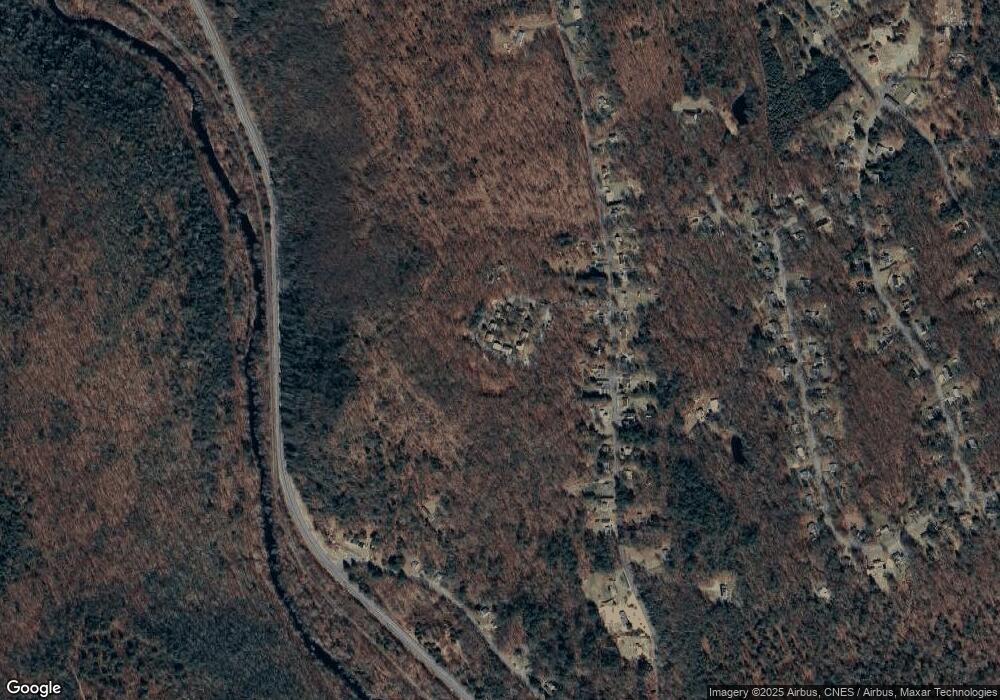
Map
Nearby Homes
- 0 River Rd Unit 24120753
- 280 Village Hill Rd
- 21 Ashley Ln
- 28 Cemetery Rd
- 228 Ruby Rd
- 0 Lohse Rd Unit map 42 block 21
- 0 Tolland Stage Rd Unit 24101836
- 487 Buff Cap Rd
- 0 Tolland Turnpike
- 37 Willington Ave
- 645 Buff Cap Rd
- 8 Neff Hill Rd
- 3 Valery Rd
- 41 Neff Hill Rd
- 0 Jared Sparks Rd
- 15 Usher Ridge
- 68 Usher Ridge
- 36 Usher Ridge
- 110 Neff Hill Rd
- 105 Neff Hill Rd
- 63 Schofield Rd Unit 18
- 63 Schofield Rd Unit 16
- 63 Schofield Rd Unit 8
- 63 Schofield Rd Unit 50
- 63 Schofield Rd Unit 32
- 63 Schofield Rd Unit 24
- 63 Schofield Rd Unit 56
- 63 Schofield Rd Unit 46
- 63 Schofield Rd Unit 52
- 63 Schofield Rd Unit 54
- 63 Schofield Rd Unit 38
- 63 Schofield Rd Unit 30
- 63 Schofield Rd Unit 14
- 63 Schofield Rd Unit 36
- 63 Schofield Rd Unit 28
- 63 Schofield Rd Unit 58
- 63 Schofield Rd Unit 62
- 63 Schofield Rd Unit 48
- 63 Schofield Rd Unit 26
- 63 Schofield Rd Unit 44
Your Personal Tour Guide
Ask me questions while you tour the home.