Estimated Value: $7,474,000
5
Beds
6
Baths
6,131
Sq Ft
$1,219/Sq Ft
Est. Value
About This Home
This home is located at 63 Smuggler Grv Rd, Aspen, CO 81611 and is currently estimated at $7,474,000, approximately $1,219 per square foot. 63 Smuggler Grv Rd is a home located in Pitkin County with nearby schools including Aspen Elementary School, Aspen Middle School, and Aspen High School.
Ownership History
Date
Name
Owned For
Owner Type
Purchase Details
Closed on
Jun 24, 2016
Sold by
Carlson Eric and Carlson Lynne
Bought by
Dp Aspen Llc
Current Estimated Value
Home Financials for this Owner
Home Financials are based on the most recent Mortgage that was taken out on this home.
Original Mortgage
$6,000,000
Outstanding Balance
$4,723,217
Interest Rate
3.57%
Mortgage Type
New Conventional
Estimated Equity
$2,750,783
Purchase Details
Closed on
Mar 7, 2012
Sold by
Harris George Walter and Harris George W
Bought by
Carlson Eric and Carlson Lynne
Home Financials for this Owner
Home Financials are based on the most recent Mortgage that was taken out on this home.
Original Mortgage
$4,360,000
Interest Rate
3.5%
Mortgage Type
New Conventional
Create a Home Valuation Report for This Property
The Home Valuation Report is an in-depth analysis detailing your home's value as well as a comparison with similar homes in the area
Home Values in the Area
Average Home Value in this Area
Purchase History
| Date | Buyer | Sale Price | Title Company |
|---|---|---|---|
| Dp Aspen Llc | $7,800,000 | Attorneys Title Insurance Ag | |
| Carlson Eric | $5,750,000 | Pct |
Source: Public Records
Mortgage History
| Date | Status | Borrower | Loan Amount |
|---|---|---|---|
| Open | Dp Aspen Llc | $6,000,000 | |
| Previous Owner | Carlson Eric | $4,360,000 |
Source: Public Records
Tax History
| Year | Tax Paid | Tax Assessment Tax Assessment Total Assessment is a certain percentage of the fair market value that is determined by local assessors to be the total taxable value of land and additions on the property. | Land | Improvement |
|---|---|---|---|---|
| 2025 | $51,431 | $1,379,310 | $312,500 | $1,066,810 |
| 2024 | $51,431 | $1,356,230 | $294,000 | $1,062,230 |
| 2023 | $44,963 | $1,373,110 | $297,660 | $1,075,450 |
| 2022 | $31,901 | $861,620 | $222,400 | $639,220 |
| 2021 | $31,765 | $886,410 | $228,800 | $657,610 |
| 2020 | $20,640 | $571,710 | $214,500 | $357,210 |
| 2019 | $26,375 | $730,570 | $214,500 | $516,070 |
| 2018 | $20,996 | $735,680 | $216,000 | $519,680 |
| 2017 | $18,537 | $575,760 | $198,000 | $377,760 |
| 2016 | $17,790 | $541,340 | $278,600 | $262,740 |
| 2015 | $17,563 | $541,340 | $278,600 | $262,740 |
| 2014 | $14,813 | $436,300 | $214,920 | $221,380 |
Source: Public Records
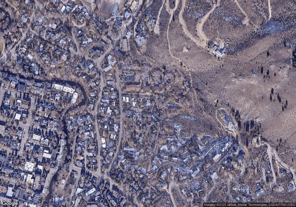
Map
Nearby Homes
- 63 Smuggler Grove
- 71 & 73 Smuggler Grove Rd
- 326 Midland Ave Unit 302
- 326 Midland Ave Unit 308
- 326 Midland Ave Unit 306
- 1212 E Hopkins Ave
- 322 Park Ave Unit 1
- 322 Park Ave Unit 2
- 100 Park Ave
- 415 Park Cir Unit 5
- 425 Park Cir Unit A2
- 515 Park Cir
- 1034 E Cooper Ave Unit 19A
- 1195 E Cooper Ave Unit A
- 990 E Hopkins Ave
- 1345 Mayflower Ct
- 935 E Hopkins Ave
- 1006 E Cooper Ave
- 1039 E Cooper Ave Unit 16A
- 939 E Cooper Ave Unit B
- 63 Smuggler Rd
- 63 Smuggler Grove Unit Grove
- 73 Smuggler Grv Rd
- 71 & 73 Smuggler Grove
- 43 Smuggler Grove Unit B
- 43 Smuggler Grove
- 43 Smuggler Grove Rd Unit A
- 43 Smuggler Grove Rd
- 43 Smuggler Grv Rd Unit B
- 43 Smuggler Grv Rd Unit A
- 73 Smuggler Grove
- 71 Smuggler Grove
- 55 Smuggler Grv Rd
- 55 Smuggler Grove Rd
- 55 Smuggler Grove
- 23 Smuggler Grv Rd Unit SOUTH
- 23 Smuggler Grv Rd Unit NORTH
- 28 Smuggler Grove Rd
- 810 Midland Park Place Unit H10
- 710 Midland Park Place Unit G10
Your Personal Tour Guide
Ask me questions while you tour the home.