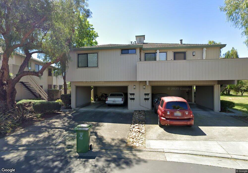
63 Wharf Cir Unit 4 San Rafael, CA 94903
Smith Ranch NeighborhoodEstimated Value: $450,000 - $565,000
2
Beds
1
Bath
864
Sq Ft
$578/Sq Ft
Est. Value
About This Home
This home is located at 63 Wharf Cir Unit 4, San Rafael, CA 94903 and is currently estimated at $498,978, approximately $577 per square foot. 63 Wharf Cir Unit 4 is a home located in Marin County with nearby schools including Mary E. Silveira Elementary School, Miller Creek Middle School, and Terra Linda High School.
Ownership History
Date
Name
Owned For
Owner Type
Purchase Details
Closed on
Jun 28, 2001
Sold by
Marks Glenn J
Bought by
Hansen Christian H
Current Estimated Value
Home Financials for this Owner
Home Financials are based on the most recent Mortgage that was taken out on this home.
Original Mortgage
$220,000
Outstanding Balance
$84,782
Interest Rate
7.14%
Estimated Equity
$414,196
Create a Home Valuation Report for This Property
The Home Valuation Report is an in-depth analysis detailing your home's value as well as a comparison with similar homes in the area
Home Values in the Area
Average Home Value in this Area
Purchase History
| Date | Buyer | Sale Price | Title Company |
|---|---|---|---|
| Hansen Christian H | $282,000 | -- |
Source: Public Records
Mortgage History
| Date | Status | Borrower | Loan Amount |
|---|---|---|---|
| Open | Hansen Christian H | $220,000 |
Source: Public Records
Tax History Compared to Growth
Tax History
| Year | Tax Paid | Tax Assessment Tax Assessment Total Assessment is a certain percentage of the fair market value that is determined by local assessors to be the total taxable value of land and additions on the property. | Land | Improvement |
|---|---|---|---|---|
| 2025 | $7,315 | $416,570 | $166,628 | $249,942 |
| 2024 | $7,315 | $408,403 | $163,361 | $245,042 |
| 2023 | $7,214 | $400,397 | $160,159 | $240,238 |
| 2022 | $6,900 | $392,546 | $157,018 | $235,528 |
| 2021 | $6,574 | $384,850 | $153,940 | $230,910 |
| 2020 | $6,499 | $380,905 | $152,362 | $228,543 |
| 2019 | $6,260 | $373,438 | $149,375 | $224,063 |
| 2018 | $6,166 | $366,117 | $146,447 | $219,670 |
| 2017 | $5,786 | $358,940 | $143,576 | $215,364 |
| 2016 | $5,645 | $351,903 | $140,761 | $211,142 |
| 2015 | $5,465 | $346,620 | $138,648 | $207,972 |
| 2014 | $3,861 | $222,712 | $108,640 | $114,072 |
Source: Public Records
Map
Nearby Homes
- 65 Wharf Cir
- 29 Sailmaker Ct
- 120 Bryce Canyon Rd
- 239 Teton Ct
- 363 Glacier Way
- 361 Yosemite Rd
- 243 Teton Ct
- 258 Yosemite Rd
- 275 Carlsbad Ct
- 400 Deer Valley Rd Unit 3G
- 400 Deer Valley Rd Unit 2B
- 401 North Ave Unit 210
- 270 Channing Way Unit 1
- 264 Waterside Cir
- 166 Professional Center Pkwy Unit 166
- 200 Deer Valley Rd Unit 2L
- 154 Professional Center Pkwy
- 600 Deer Valley Rd Unit 1E
- 300 Deer Valley Rd Unit 3P
- 300 Deer Valley Rd Unit 2K
- 67 Wharf Cir
- 61 Wharf Cir
- 57 Wharf Cir
- 53 Wharf Cir
- 153 Captains Cove Dr Unit 1
- 55 Wharf Cir
- 51 Wharf Cir Unit 2
- 167 Captains Cove Dr
- 151 Captains Cove Dr
- 157 Captains Cove Dr
- 163 Captains Cove Dr Unit 3
- 165 Captains Cove Dr Unit 2
- 155 Captains Cove Dr Unit 4
- 42 Wharf Cir
- 47 Wharf Cir
- 161 Captains Cove Dr Unit 224
- 46 Wharf Cir
- 43 Wharf Cir Unit 281
- 41 Wharf Cir
- 44 Wharf Cir Unit 3