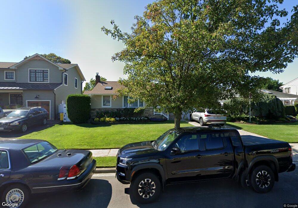
63 William Rd Massapequa, NY 11758
Estimated Value: $707,000 - $725,684
Studio
1
Bath
1,052
Sq Ft
$681/Sq Ft
Est. Value
About This Home
This home is located at 63 William Rd, Massapequa, NY 11758 and is currently estimated at $716,342, approximately $680 per square foot. 63 William Rd is a home located in Nassau County with nearby schools including Eastplain School, Plainedge Middle School, and Plainedge Senior High School.
Ownership History
Date
Name
Owned For
Owner Type
Purchase Details
Closed on
May 2, 2011
Sold by
Mione Lynn
Bought by
Maiorini Kevin J and Maiorini Jamie L
Current Estimated Value
Home Financials for this Owner
Home Financials are based on the most recent Mortgage that was taken out on this home.
Original Mortgage
$393,395
Outstanding Balance
$273,391
Interest Rate
4.88%
Mortgage Type
FHA
Estimated Equity
$442,951
Purchase Details
Closed on
Jun 10, 2006
Sold by
Lachina Michael
Bought by
Mione Lynn
Create a Home Valuation Report for This Property
The Home Valuation Report is an in-depth analysis detailing your home's value as well as a comparison with similar homes in the area
Home Values in the Area
Average Home Value in this Area
Purchase History
| Date | Buyer | Sale Price | Title Company |
|---|---|---|---|
| Maiorini Kevin J | $410,000 | -- | |
| Mione Lynn | $440,000 | -- |
Source: Public Records
Mortgage History
| Date | Status | Borrower | Loan Amount |
|---|---|---|---|
| Open | Maiorini Kevin J | $393,395 |
Source: Public Records
Tax History
| Year | Tax Paid | Tax Assessment Tax Assessment Total Assessment is a certain percentage of the fair market value that is determined by local assessors to be the total taxable value of land and additions on the property. | Land | Improvement |
|---|---|---|---|---|
| 2025 | $12,859 | $400 | $193 | $207 |
| 2024 | $4,004 | $424 | $205 | $219 |
Source: Public Records
Map
Nearby Homes
- 408 Briarwood Rd
- 68 Thorne Ave
- 166 Daniel Rd N
- 49 Amherst Dr
- 267 N Elm St
- 2 Rose Dr
- 892 Lilac Dr
- 647 Seamans Neck Rd
- 493 Kell Place
- 4185 Harriet Rd
- 6 Regal Ln
- 263 N Park Dr
- 255 N Chestnut St
- 3 N Walnut Place
- 250 N Rutherford Ave
- 9 Redwood Ln
- 9 N Walnut Place
- 79 Elizabeth Dr
- 8 Reading Ln
- 4278 Clarissa Rd
Your Personal Tour Guide
Ask me questions while you tour the home.