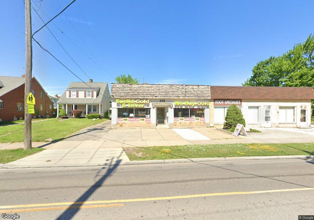
630 E 222nd St Euclid, OH 44123
Estimated Value: $40,335
Studio
--
Bath
3,200
Sq Ft
$13/Sq Ft
Est. Value
About This Home
This home is located at 630 E 222nd St, Euclid, OH 44123 and is currently priced at $40,335, approximately $12 per square foot. 630 E 222nd St is a home located in Cuyahoga County with nearby schools including Arbor Elementary School, Euclid Middle School, and Euclid High School.
Ownership History
Date
Name
Owned For
Owner Type
Purchase Details
Closed on
Mar 12, 2010
Sold by
Peters Phyllis K
Bought by
Rossire & Company Ltd
Current Estimated Value
Purchase Details
Closed on
Apr 10, 2006
Sold by
Estate Of Robert W Peters
Bought by
Peters Phyllis K
Purchase Details
Closed on
Jun 2, 1987
Sold by
Zemanek Steven A and Zemanek Marcia
Bought by
Peters Robert W
Purchase Details
Closed on
Mar 12, 1986
Sold by
Peters Robt W and P K
Bought by
Zemanek Steven A and Zemanek Marcia
Purchase Details
Closed on
Jan 1, 1975
Bought by
Peters Robt W and P K
Create a Home Valuation Report for This Property
The Home Valuation Report is an in-depth analysis detailing your home's value as well as a comparison with similar homes in the area
Home Values in the Area
Average Home Value in this Area
Purchase History
| Date | Buyer | Sale Price | Title Company |
|---|---|---|---|
| Rossire & Company Ltd | $20,000 | Nova Title Agency Inc | |
| Peters Phyllis K | -- | None Available | |
| Peters Robert W | -- | -- | |
| Zemanek Steven A | $135,000 | -- | |
| Peters Robt W | -- | -- |
Source: Public Records
Map
Nearby Homes
- 21971 Crystal Ave
- 21670 Crystal Ave
- 21481 Ball Ave
- 21391 Westport Ave
- 442 Clearview Dr Unit U9
- 21181 Ball Ave
- 21300 Wilmore Ave
- 21250 Wilmore Ave
- 422 Clearview Dr Unit J10
- 21051 S Lake Shore Blvd
- 21170 Wilmore Ave
- 21000 Crystal Ave
- 21051 Westport Ave
- 20931 Priday Ave
- 20900 Priday Ave
- 421 Kenwood Dr Unit G
- 324 E 215th St
- 22751 Fox Ave
- 450 Kenwood Dr Unit D-12
- 521 Kenwood Dr Unit B-5
- 634 E 222nd St
- 636 E 222nd St
- 22100 Fuller Ave
- 22050 Fuller Ave
- 640 E 222nd St
- 22101 Ball Ave
- 612 E 222nd St
- 612 E 222nd St Unit 1
- 612 E 222nd St Unit 2
- 22071 Ball Ave
- 22030 Fuller Ave
- 22101 Fuller Ave
- 22031 Ball Ave
- 604 E 222nd St
- 22000 Fuller Ave
- 22051 Fuller Ave
- 610 E 222nd St Unit 2
- 22003 Ball Ave
- 650 E 222nd St
- 22031 Fuller Ave
Your Personal Tour Guide
Ask me questions while you tour the home.