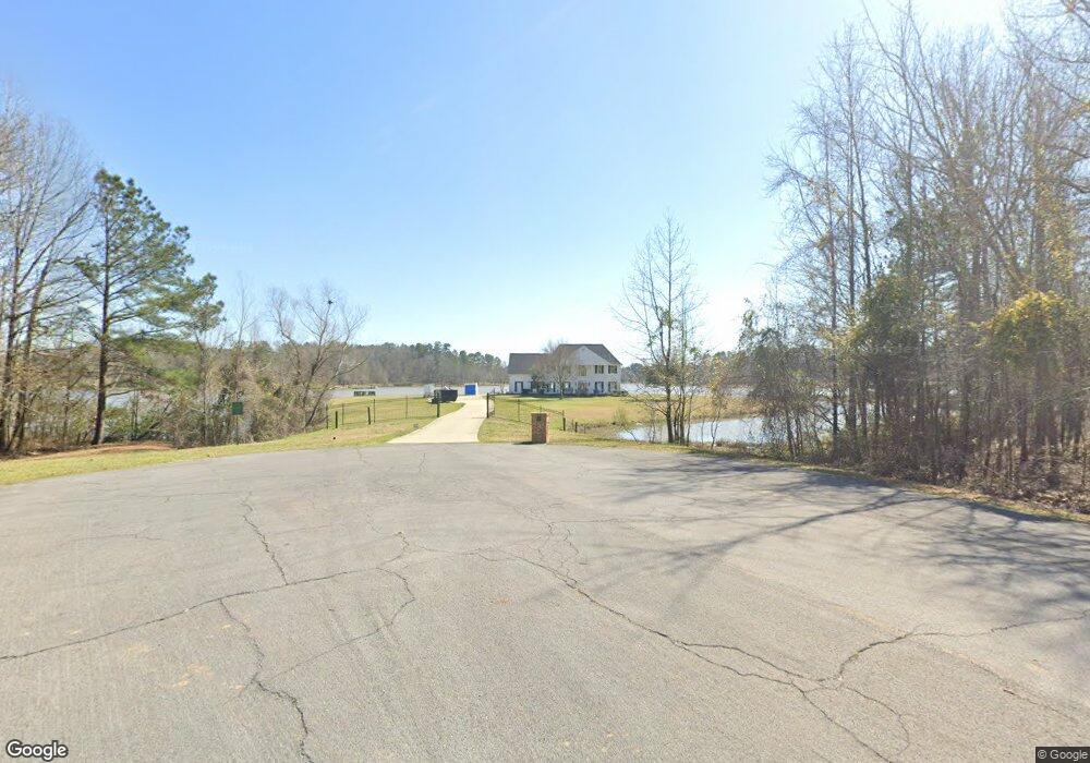
630 Echo Cove Brandon, MS 39042
Estimated Value: $491,384 - $660,000
5
Beds
3
Baths
3,237
Sq Ft
$174/Sq Ft
Est. Value
About This Home
This home is located at 630 Echo Cove, Brandon, MS 39042 and is currently estimated at $564,346, approximately $174 per square foot. 630 Echo Cove is a home located in Rankin County with nearby schools including Rouse Elementary School, Brandon Elementary School, and Stonebridge Elementary School.
Ownership History
Date
Name
Owned For
Owner Type
Purchase Details
Closed on
Aug 14, 2024
Sold by
Moore Shay L
Bought by
Moore Shannon L
Current Estimated Value
Purchase Details
Closed on
Jan 23, 2015
Sold by
Mills Ceth A and Mills Marilyn
Bought by
Moore Shannon L and Moore Shay L
Home Financials for this Owner
Home Financials are based on the most recent Mortgage that was taken out on this home.
Original Mortgage
$348,000
Interest Rate
3.9%
Mortgage Type
New Conventional
Purchase Details
Closed on
Feb 9, 2007
Sold by
Banks Frank R and Banks Hiller G
Bought by
Mills Ceth A and Mills Marilyn
Create a Home Valuation Report for This Property
The Home Valuation Report is an in-depth analysis detailing your home's value as well as a comparison with similar homes in the area
Purchase History
| Date | Buyer | Sale Price | Title Company |
|---|---|---|---|
| Moore Shannon L | -- | None Listed On Document | |
| Moore Shannon L | -- | None Available | |
| Mills Ceth A | -- | M-Tec, Miller Title & Escrow |
Source: Public Records
Mortgage History
| Date | Status | Borrower | Loan Amount |
|---|---|---|---|
| Previous Owner | Moore Shannon L | $348,000 |
Source: Public Records
Tax History
| Year | Tax Paid | Tax Assessment Tax Assessment Total Assessment is a certain percentage of the fair market value that is determined by local assessors to be the total taxable value of land and additions on the property. | Land | Improvement |
|---|---|---|---|---|
| 2025 | $4,713 | $45,966 | $0 | $0 |
| 2024 | $4,589 | $45,572 | $0 | $0 |
| 2023 | $4,570 | $45,384 | $0 | $0 |
| 2022 | $4,502 | $45,384 | $0 | $0 |
| 2021 | $4,328 | $43,626 | $0 | $0 |
| 2020 | $4,328 | $43,626 | $0 | $0 |
| 2019 | $3,932 | $38,556 | $0 | $0 |
| 2018 | $3,854 | $38,556 | $0 | $0 |
| 2017 | $3,854 | $38,556 | $0 | $0 |
| 2016 | $3,556 | $37,442 | $0 | $0 |
| 2015 | $2,136 | $25,651 | $0 | $0 |
| 2014 | $2,081 | $25,651 | $0 | $0 |
| 2013 | -- | $25,651 | $0 | $0 |
Source: Public Records
Map
Nearby Homes
- 840 Westerly Dr
- 2050 Paradise Ridge
- 739 Westerly Dr
- 110 Meadowview Dr
- 0 Ridgeside Dr Unit 4102137
- 0 Dogwood Trace Unit 4108863
- 115 Ashley Dr
- 23 Le Bourgeois Dr
- 0 Danielle Cove Unit 24270205
- 0 Danielle Cove Unit 4118567
- 0 Ivy Ln
- 191 N Brandon Blvd
- 512 Susannah Dr
- 1758 Mississippi 471
- 758 Cotton Creek Trail
- 754 Freedom Ridge Ln
- 116 Shenandoah Estates Cir
- 903 Old Glory Ln
- 124 Dominion Pkwy
- 562 Stump Ridge Rd
- 850 Westerly Dr
- 620 Echo Cove
- 860 Westerly Dr
- 2060 Paradise Ridge
- 605 Echo Cove
- 420 Chartline Cove
- 2051 Paradise Ridge
- 2061 Paradise Ridge
- 959 Easterly Dr
- 405 Chartline Cove
- 851 Westerly Dr
- 430 Chartline Cove
- 345 Trailwind Cove
- 345 Tradewind Cove
- 861 Westerly Dr
- 871 Westerly Dr
- 939 Easterly Dr
- 0 Westwind Dr Unit 215329
- 12 Westwind Dr Unit TRACK 12
- 0 Westwind Dr Unit lot 55 nbs ph2
Your Personal Tour Guide
Ask me questions while you tour the home.