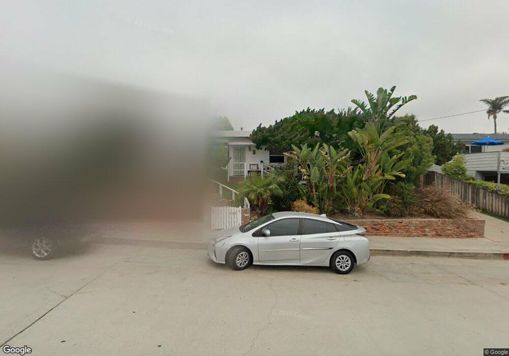
630 Loring St San Diego, CA 92109
Pacific Beach NeighborhoodEstimated Value: $1,825,000 - $2,309,000
3
Beds
1
Bath
988
Sq Ft
$2,008/Sq Ft
Est. Value
About This Home
This home is located at 630 Loring St, San Diego, CA 92109 and is currently estimated at $1,983,535, approximately $2,007 per square foot. 630 Loring St is a home located in San Diego County with nearby schools including Bird Rock Elementary School, Muirlands Middle School, and La Jolla High School.
Ownership History
Date
Name
Owned For
Owner Type
Purchase Details
Closed on
Sep 14, 2023
Sold by
Schwartz Richard and Schwartz Julianne
Bought by
Rich/Julie Loring Family Trust and Schwartz
Current Estimated Value
Purchase Details
Closed on
Aug 6, 2015
Sold by
Fifield Ray
Bought by
Schwartz Richard and Johnson Julianne
Home Financials for this Owner
Home Financials are based on the most recent Mortgage that was taken out on this home.
Original Mortgage
$562,350
Interest Rate
3.91%
Mortgage Type
New Conventional
Purchase Details
Closed on
Aug 11, 1998
Sold by
Fifield Ray
Bought by
Fifield Ray
Create a Home Valuation Report for This Property
The Home Valuation Report is an in-depth analysis detailing your home's value as well as a comparison with similar homes in the area
Home Values in the Area
Average Home Value in this Area
Purchase History
| Date | Buyer | Sale Price | Title Company |
|---|---|---|---|
| Rich/Julie Loring Family Trust | -- | None Listed On Document | |
| Schwartz Richard | $780,000 | Lawyers Title | |
| Fifield Ray | -- | None Available |
Source: Public Records
Mortgage History
| Date | Status | Borrower | Loan Amount |
|---|---|---|---|
| Previous Owner | Schwartz Richard | $562,350 |
Source: Public Records
Tax History Compared to Growth
Tax History
| Year | Tax Paid | Tax Assessment Tax Assessment Total Assessment is a certain percentage of the fair market value that is determined by local assessors to be the total taxable value of land and additions on the property. | Land | Improvement |
|---|---|---|---|---|
| 2025 | $11,066 | $923,353 | $577,127 | $346,226 |
| 2024 | $11,066 | $905,249 | $565,811 | $339,438 |
| 2023 | $10,821 | $887,500 | $554,717 | $332,783 |
| 2022 | $10,531 | $870,099 | $543,841 | $326,258 |
| 2021 | $10,458 | $853,039 | $533,178 | $319,861 |
| 2020 | $10,330 | $844,293 | $527,711 | $316,582 |
| 2019 | $10,144 | $827,739 | $517,364 | $310,375 |
| 2018 | $9,482 | $811,510 | $507,220 | $304,290 |
| 2017 | $9,256 | $795,599 | $497,275 | $298,324 |
| 2016 | $9,107 | $780,000 | $487,525 | $292,475 |
| 2015 | $986 | $81,463 | $50,917 | $30,546 |
| 2014 | $972 | $79,868 | $49,920 | $29,948 |
Source: Public Records
Map
Nearby Homes
- 5061 Mission Blvd
- 727 Sapphire St Unit 301
- 751-63 Turquoise St Unit 27-30
- 4944 Cass St Unit 1003
- 4944 Cass St Unit 409
- 4944 Cass St Unit 407
- 4767 Ocean Blvd
- 4767 Ocean Blvd Unit 411
- 972 Sapphire St Unit LA1
- 976 Sapphire St Unit LA3
- 4918 Dawes St Unit 3
- 911 Missouri St Unit 8
- 819 Van Nuys St
- 4667 Ocean Blvd Unit 106
- 4975 Dawes St
- 5341 Linda Way
- 623 Colima St
- 1154 Sapphire St
- 1148 Turquoise St
- 835 Felspar St Week 6
- 640 Loring St
- 622 Loring St
- 639 Pacific View Dr
- 631 Pacific View Dr
- 631 Pacific View Dr
- 650 Loring St
- 612 Loring St
- 615 Pacific View Dr
- 645 Pacific View Dr
- 631 Loring St
- 621 Loring St Unit 23
- 660 Loring St
- 629 Loring St
- 637 Loring St Unit 39
- 4983 Ocean Blvd Unit 85
- 651 Pacific View Dr
- 645 Loring St Unit 47
- 640 Pacific View Dr
- 634 Pacific View Dr
- 653 Loring St Unit 55