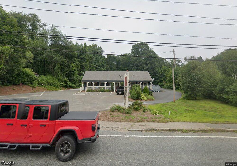
630 Main St Rt 20 Unit 10 Sturbridge, MA 01566
Estimated Value: $394,000 - $484,000
--
Bed
1
Bath
500
Sq Ft
$873/Sq Ft
Est. Value
About This Home
This home is located at 630 Main St Rt 20 Unit 10, Sturbridge, MA 01566 and is currently estimated at $436,387, approximately $872 per square foot. 630 Main St Rt 20 Unit 10 is a home located in Worcester County with nearby schools including Burgess Elementary School, Tantasqua Regional Junior High School, and Tantasqua Regional High School.
Ownership History
Date
Name
Owned For
Owner Type
Purchase Details
Closed on
Dec 31, 2003
Sold by
Ocala Rt and Farrell Mark R
Bought by
Ocala Rlty Series Llc
Current Estimated Value
Purchase Details
Closed on
Jan 22, 2001
Sold by
Willis Richard E and Willis Ricahrd E
Bought by
Ocala Rt and Farrell Mark
Create a Home Valuation Report for This Property
The Home Valuation Report is an in-depth analysis detailing your home's value as well as a comparison with similar homes in the area
Home Values in the Area
Average Home Value in this Area
Purchase History
| Date | Buyer | Sale Price | Title Company |
|---|---|---|---|
| Ocala Rlty Series Llc | -- | -- | |
| Ocala Rt | $62,500 | -- |
Source: Public Records
Mortgage History
| Date | Status | Borrower | Loan Amount |
|---|---|---|---|
| Previous Owner | Ocala Rt | $122,500 |
Source: Public Records
Tax History Compared to Growth
Tax History
| Year | Tax Paid | Tax Assessment Tax Assessment Total Assessment is a certain percentage of the fair market value that is determined by local assessors to be the total taxable value of land and additions on the property. | Land | Improvement |
|---|---|---|---|---|
| 2025 | $5,515 | $346,200 | $106,400 | $239,800 |
| 2024 | $5,331 | $323,300 | $104,200 | $219,100 |
| 2023 | $5,043 | $279,100 | $90,800 | $188,300 |
| 2022 | $4,837 | $252,600 | $81,900 | $170,700 |
| 2021 | $5,114 | $268,900 | $81,900 | $187,000 |
| 2020 | $5,114 | $268,900 | $81,900 | $187,000 |
| 2019 | $4,734 | $247,200 | $84,300 | $162,900 |
| 2018 | $4,598 | $236,500 | $80,300 | $156,200 |
| 2017 | $4,384 | $226,000 | $77,100 | $148,900 |
| 2016 | $4,261 | $221,800 | $74,900 | $146,900 |
| 2015 | $4,123 | $214,300 | $74,900 | $139,400 |
Source: Public Records
Map
Nearby Homes
- 16 Summit Ave
- 537 Main St
- 87 Holland Rd
- 504 Main St
- 5 Hinman St Unit 4
- 7 Crescent Way Unit 105
- 7 Crescent Way Unit 315
- 26 Cedar Lake Dr
- 6 Cedar Pond Dr
- 314 The Trail
- 51-A Seneca Ln
- 368 Main St
- 0 Five Bridge Rd
- 54 Little Alum Rd
- 43 Mountain Brook Rd
- 146-A Cedar St
- 50 Beach Ave
- 73 New Boston Rd
- 266 Holland Rd
- 9 Haynes St
- 630 Main St Rt 20 Unit 2
- 630 Main St Unit 2
- 630 Main St Unit 10
- 630 Main St Unit 1
- 630 Main St Unit 9
- 630 Main St
- 634 Main St
- 626 Main St
- 8 Laflamme Ln
- 633 Main St
- 633 Main St Unit 1
- 626 Main St
- 12 Laflamme Ln
- 635 Main St
- 642 Main St
- 14 Laflamme Ln
- 639 Main St
- 1 Commonwealth Ave
- 1 Commonwealth Ave Unit 1
- 1 Commonwealth Ave Unit 2