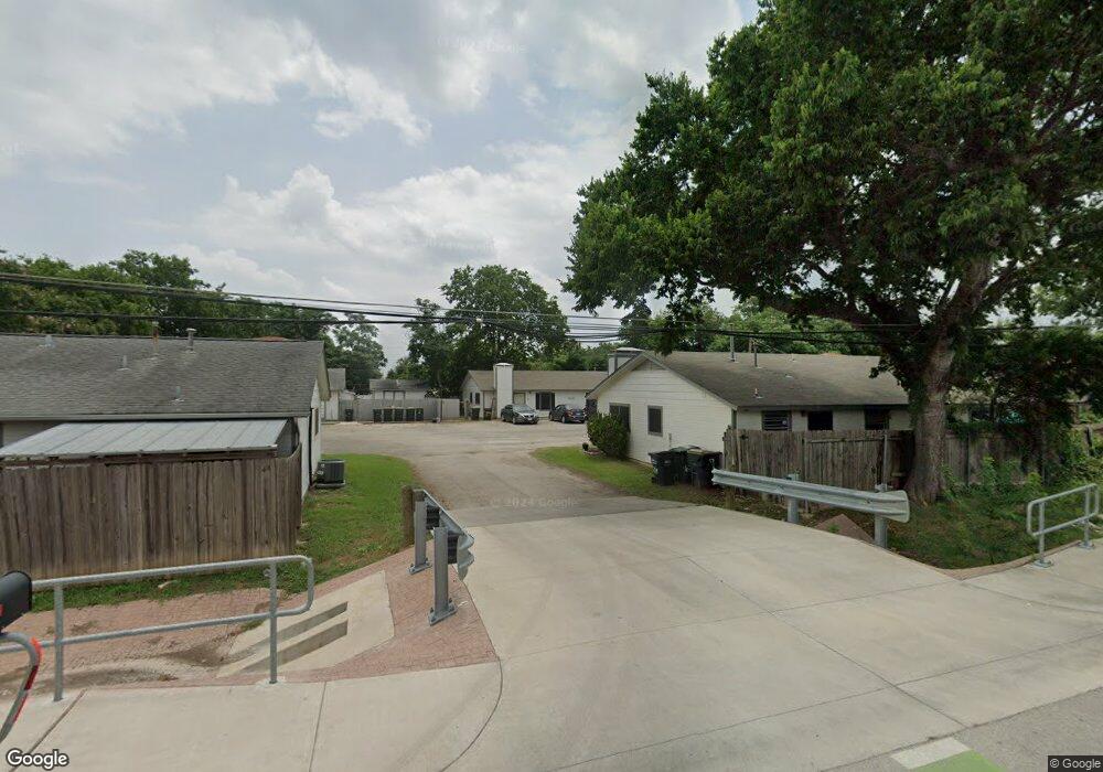
630 Mill St Unit A San Marcos, TX 78666
Millview East NeighborhoodEstimated Value: $314,485 - $651,000
--
Bed
--
Bath
1,728
Sq Ft
$236/Sq Ft
Est. Value
About This Home
This home is located at 630 Mill St Unit A, San Marcos, TX 78666 and is currently estimated at $407,621, approximately $235 per square foot. 630 Mill St Unit A is a home located in Hays County with nearby schools including Travis Elementary School, Dorris Miller Middle School, and San Marcos High School.
Ownership History
Date
Name
Owned For
Owner Type
Purchase Details
Closed on
Mar 20, 2018
Sold by
Toosi Cyrus Q
Bought by
Connor Geoffrey S
Current Estimated Value
Home Financials for this Owner
Home Financials are based on the most recent Mortgage that was taken out on this home.
Original Mortgage
$131,250
Outstanding Balance
$76,146
Interest Rate
4.32%
Mortgage Type
New Conventional
Estimated Equity
$331,475
Purchase Details
Closed on
Feb 16, 2018
Sold by
Toosi Soraya and Toosi Living Trust
Bought by
Toosi Cyrus Q
Home Financials for this Owner
Home Financials are based on the most recent Mortgage that was taken out on this home.
Original Mortgage
$131,250
Outstanding Balance
$76,146
Interest Rate
4.32%
Mortgage Type
New Conventional
Estimated Equity
$331,475
Purchase Details
Closed on
Jan 4, 2013
Sold by
Toosi Mohammed Ali and Toosi Teresinha Eugenia
Bought by
Toosi Mohammed A and Toosi Teresinha Q
Purchase Details
Closed on
Apr 12, 2010
Sold by
Lindsey William B
Bought by
Toosi Family Trust
Purchase Details
Closed on
Jan 19, 2005
Sold by
Schneider George and Schneider Sharon L
Bought by
Lindsey William H
Home Financials for this Owner
Home Financials are based on the most recent Mortgage that was taken out on this home.
Original Mortgage
$74,000
Interest Rate
5.71%
Mortgage Type
Purchase Money Mortgage
Create a Home Valuation Report for This Property
The Home Valuation Report is an in-depth analysis detailing your home's value as well as a comparison with similar homes in the area
Home Values in the Area
Average Home Value in this Area
Purchase History
| Date | Buyer | Sale Price | Title Company |
|---|---|---|---|
| Connor Geoffrey S | -- | None Available | |
| Toosi Cyrus Q | -- | None Available | |
| Toosi Mohammed A | -- | None Available | |
| Toosi Family Trust | -- | -- | |
| Toosi Mohammed A | -- | Independence Title | |
| Lindsey William H | -- | -- |
Source: Public Records
Mortgage History
| Date | Status | Borrower | Loan Amount |
|---|---|---|---|
| Open | Connor Geoffrey S | $131,250 | |
| Previous Owner | Lindsey William H | $74,000 |
Source: Public Records
Tax History Compared to Growth
Tax History
| Year | Tax Paid | Tax Assessment Tax Assessment Total Assessment is a certain percentage of the fair market value that is determined by local assessors to be the total taxable value of land and additions on the property. | Land | Improvement |
|---|---|---|---|---|
| 2025 | $6,520 | $245,292 | $55,390 | $189,902 |
| 2024 | $6,520 | $331,278 | $55,390 | $275,888 |
| 2023 | $6,317 | $332,115 | $55,390 | $276,725 |
| 2022 | $4,668 | $227,809 | $46,940 | $180,869 |
| 2021 | $4,456 | $202,163 | $19,560 | $182,603 |
| 2020 | $4,110 | $190,309 | $19,560 | $170,749 |
| 2019 | $3,636 | $147,700 | $19,560 | $128,140 |
| 2018 | $3,589 | $145,140 | $19,560 | $125,580 |
| 2017 | $3,254 | $135,360 | $9,780 | $125,580 |
| 2016 | $3,049 | $126,820 | $9,780 | $117,040 |
| 2015 | $3,061 | $126,820 | $9,780 | $117,040 |
Source: Public Records
Map
Nearby Homes
- 124 Antoinette Way Unit 102
- 124 Antoinette Way Unit 101
- 124 Antoinette Way Unit 103
- 1604 Mill St Unit B
- 709 Uhland Rd
- 313 Mill St
- 145 Spring Rd
- 1624 Aquarena Springs Dr Unit 115
- 1624 Aquarena Springs Dr Unit 152
- 1624 Aquarena Springs Dr Unit 155
- 1624 Aquarena Springs Dr Unit 148
- 000 Wren Haven Dr
- 340 Briarwood Dr
- 000A Pecan St
- 000 Pecan St
- 1011 Hackberry St Unit A&B
- 1007 Hackberry St
- 1007 Hackberry St Unit A/B/C/D
- 1322 N Interstate 35
- 1202 Thorpe Ln Unit 402