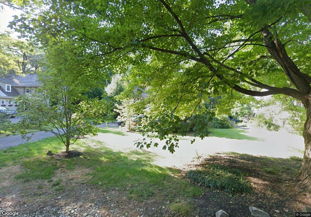
630 Mulford Rd Wyncote, PA 19095
Estimated Value: $691,904 - $797,000
4
Beds
4
Baths
2,885
Sq Ft
$257/Sq Ft
Est. Value
About This Home
This home is located at 630 Mulford Rd, Wyncote, PA 19095 and is currently estimated at $741,726, approximately $257 per square foot. 630 Mulford Rd is a home located in Montgomery County with nearby schools including Wyncote Elementary School, Elkins Park School, and Cedarbrook Middle School.
Ownership History
Date
Name
Owned For
Owner Type
Purchase Details
Closed on
Jun 26, 2007
Sold by
Radiss Elaine C and Petrino Richard
Bought by
Christensen Kathleen M and Christensen Niels C
Current Estimated Value
Home Financials for this Owner
Home Financials are based on the most recent Mortgage that was taken out on this home.
Original Mortgage
$55,500
Outstanding Balance
$35,193
Interest Rate
6.78%
Estimated Equity
$706,533
Create a Home Valuation Report for This Property
The Home Valuation Report is an in-depth analysis detailing your home's value as well as a comparison with similar homes in the area
Home Values in the Area
Average Home Value in this Area
Purchase History
| Date | Buyer | Sale Price | Title Company |
|---|---|---|---|
| Christensen Kathleen M | $525,000 | None Available |
Source: Public Records
Mortgage History
| Date | Status | Borrower | Loan Amount |
|---|---|---|---|
| Open | Christensen Kathleen M | $55,500 | |
| Open | Christensen Kathleen M | $417,000 |
Source: Public Records
Tax History Compared to Growth
Tax History
| Year | Tax Paid | Tax Assessment Tax Assessment Total Assessment is a certain percentage of the fair market value that is determined by local assessors to be the total taxable value of land and additions on the property. | Land | Improvement |
|---|---|---|---|---|
| 2025 | $14,357 | $214,970 | $55,150 | $159,820 |
| 2024 | $14,357 | $214,970 | $55,150 | $159,820 |
| 2023 | $14,196 | $214,970 | $55,150 | $159,820 |
| 2022 | $13,952 | $214,970 | $55,150 | $159,820 |
| 2021 | $13,570 | $214,970 | $55,150 | $159,820 |
| 2020 | $13,179 | $214,970 | $55,150 | $159,820 |
| 2019 | $12,916 | $214,970 | $55,150 | $159,820 |
| 2018 | $3,596 | $214,970 | $55,150 | $159,820 |
| 2017 | $12,331 | $214,970 | $55,150 | $159,820 |
| 2016 | $12,247 | $214,970 | $55,150 | $159,820 |
| 2015 | $11,677 | $214,970 | $55,150 | $159,820 |
| 2014 | $11,677 | $214,970 | $55,150 | $159,820 |
Source: Public Records
Map
Nearby Homes
- 336 Gribbel Rd
- 1600 Church Rd Unit A211
- 1600 Church Rd Unit C111
- 417 Gribbel Rd
- 230 Harrison Ave
- 311 Rices Mill Rd
- 422 Rices Mill Rd
- 20 W Waverly Rd
- 119 S Easton Rd
- 407 W Waverly Rd
- 2541 Church Rd
- 1039 Greenwood Ave
- 1006 Greenwood Ave
- 446 Twickenham Rd
- 234 Paxson Ave
- 516 Beaver Rd
- 8427 Limekiln Pike
- 8415 Limekiln Pike
- 8363 Limekiln Pike
- 0 S Easton Rd
- 636 Mulford Rd
- 624 Mulford Rd
- 642 Mulford Rd
- 616 Mulford Rd
- 635 Mulford Rd
- 623 Mulford Rd Unit 4
- 329 Bickley Rd
- 643 Mulford Rd
- 648 Mulford Rd Unit 25
- 311 Bickley Rd
- 647 Mulford Rd
- 118 Royal Ave
- 652 Mulford Rd
- 301 Bickley Rd
- 651 Mulford Rd
- 333 Bickley Rd
- 138 Royal Ave
- 320 Bickley Rd
- 310 Bickley Rd
- 345 Bickley Rd
