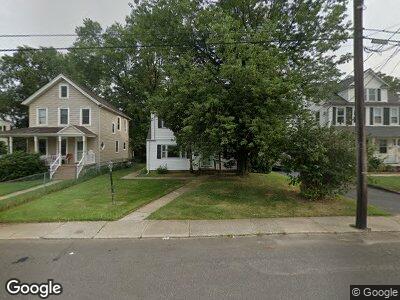
630 Overton Place Long Branch, NJ 07740
Estimated Value: $550,000 - $661,000
4
Beds
3
Baths
1,699
Sq Ft
$365/Sq Ft
Est. Value
About This Home
This home is located at 630 Overton Place, Long Branch, NJ 07740 and is currently estimated at $620,589, approximately $365 per square foot. 630 Overton Place is a home located in Monmouth County with nearby schools including Long Branch High School, Holy Trinity School, and Bet Yaakov of the Jersey Shore.
Ownership History
Date
Name
Owned For
Owner Type
Purchase Details
Closed on
Nov 20, 2014
Sold by
Malespina Joan A and The Estate Of Philomena Clark
Bought by
Malespina Joan A
Current Estimated Value
Purchase Details
Closed on
Aug 21, 1998
Sold by
Stein Joel
Bought by
Compton Barbara
Home Financials for this Owner
Home Financials are based on the most recent Mortgage that was taken out on this home.
Original Mortgage
$111,600
Interest Rate
6.9%
Mortgage Type
FHA
Create a Home Valuation Report for This Property
The Home Valuation Report is an in-depth analysis detailing your home's value as well as a comparison with similar homes in the area
Home Values in the Area
Average Home Value in this Area
Purchase History
| Date | Buyer | Sale Price | Title Company |
|---|---|---|---|
| Malespina Joan A | $210,000 | Red Bank Title Agency Inc | |
| Compton Barbara | $92,220 | -- |
Source: Public Records
Mortgage History
| Date | Status | Borrower | Loan Amount |
|---|---|---|---|
| Previous Owner | Compton Barbara | $111,600 |
Source: Public Records
Tax History Compared to Growth
Tax History
| Year | Tax Paid | Tax Assessment Tax Assessment Total Assessment is a certain percentage of the fair market value that is determined by local assessors to be the total taxable value of land and additions on the property. | Land | Improvement |
|---|---|---|---|---|
| 2024 | $7,369 | $554,300 | $272,600 | $281,700 |
| 2023 | $7,369 | $474,500 | $205,600 | $268,900 |
| 2022 | $6,269 | $368,500 | $131,600 | $236,900 |
| 2021 | $6,269 | $313,300 | $111,600 | $201,700 |
| 2020 | $6,314 | $302,100 | $101,600 | $200,500 |
| 2019 | $6,050 | $287,800 | $96,600 | $191,200 |
| 2018 | $5,873 | $277,800 | $93,600 | $184,200 |
| 2017 | $5,653 | $274,300 | $93,600 | $180,700 |
| 2016 | $5,469 | $270,600 | $94,600 | $176,000 |
| 2015 | $6,162 | $276,700 | $96,500 | $180,200 |
| 2014 | $5,665 | $268,100 | $108,200 | $159,900 |
Source: Public Records
Map
Nearby Homes
- 207 Oakwood Ave
- 264 Norwood Ave
- 17 Mitchell Terrace
- 458 W End Ave
- 54 Wall St
- 27 Hilltop Rd
- 546 Winter St
- 537 Winter St
- 105 Norwood Ave
- 313 Norwood Ave
- 421 Westbourne Ave
- 86 Wall St
- 564 Monmouth Place
- 4 Sherman Ave
- 369 Norwood Ave
- 689 Morford Ave
- 408 Brookdale Ave
- 518 Westwood Ave
- 28 Norwood Ave
- 552 Westwood Ave
- 630 Overton Place
- 634 Overton Place
- 626 Overton Place
- 638 Overton Place
- 622 Overton Place
- 642 Overton Place
- 618 Overton Place
- 623 Wall St
- 615 Wall St
- 627 Wall St
- 633 Overton Place
- 644 Overton Place
- 635 Overton Place
- 623 Overton Place
- 631 Wall St
- 616 Overton Place
- 637 Overton Place
- 186 Norwood Ave
- 639 Overton Place
- 190 Norwood Ave