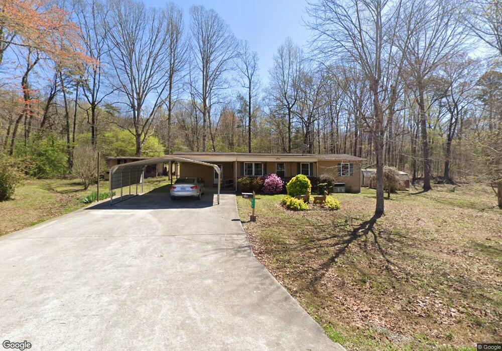
630 State Highway 304 Decatur, TN 37322
Estimated Value: $143,310 - $246,000
--
Bed
1
Bath
1,008
Sq Ft
$198/Sq Ft
Est. Value
About This Home
This home is located at 630 State Highway 304, Decatur, TN 37322 and is currently estimated at $200,078, approximately $198 per square foot. 630 State Highway 304 is a home located in Meigs County with nearby schools including Meigs County High School.
Ownership History
Date
Name
Owned For
Owner Type
Purchase Details
Closed on
Jun 7, 2013
Sold by
Carter Hope A
Bought by
Fagg Debra E and Davis Cherie L
Current Estimated Value
Purchase Details
Closed on
Apr 13, 2012
Sold by
Carter Hope A
Bought by
Carter Hope A and Fagg Debra E
Purchase Details
Closed on
Nov 27, 1990
Bought by
Queen Timothy G and Glenda Ann
Purchase Details
Closed on
Apr 13, 1981
Bought by
Roberts Anthony D
Purchase Details
Closed on
Apr 9, 1974
Create a Home Valuation Report for This Property
The Home Valuation Report is an in-depth analysis detailing your home's value as well as a comparison with similar homes in the area
Home Values in the Area
Average Home Value in this Area
Purchase History
| Date | Buyer | Sale Price | Title Company |
|---|---|---|---|
| Fagg Debra E | -- | -- | |
| Fagg Debra E | -- | -- | |
| Carter Hope A | -- | -- | |
| Carter Hope A | -- | -- | |
| Carter Arlen J | -- | -- | |
| Carter Arlen J | -- | -- | |
| Queen Timothy G | $5,000 | -- | |
| Queen Timothy G | $5,000 | -- | |
| Roberts Anthony D | -- | -- | |
| Roberts Anthony D | -- | -- | |
| -- | -- | -- | |
| -- | -- | -- |
Source: Public Records
Tax History Compared to Growth
Tax History
| Year | Tax Paid | Tax Assessment Tax Assessment Total Assessment is a certain percentage of the fair market value that is determined by local assessors to be the total taxable value of land and additions on the property. | Land | Improvement |
|---|---|---|---|---|
| 2025 | $426 | $25,225 | $0 | $0 |
| 2024 | $426 | $25,225 | $5,150 | $20,075 |
| 2023 | $426 | $25,225 | $5,150 | $20,075 |
| 2022 | $426 | $25,225 | $5,150 | $20,075 |
| 2021 | $426 | $25,225 | $5,150 | $20,075 |
| 2020 | $422 | $25,225 | $5,150 | $20,075 |
| 2019 | $422 | $21,300 | $4,750 | $16,550 |
| 2018 | $404 | $20,400 | $4,750 | $15,650 |
| 2017 | $404 | $20,400 | $4,750 | $15,650 |
| 2016 | $404 | $20,400 | $4,750 | $15,650 |
| 2015 | $382 | $20,400 | $4,750 | $15,650 |
| 2014 | $287 | $15,350 | $3,500 | $11,850 |
Source: Public Records
Map
Nearby Homes
- 378 Tennessee 68
- 478 Oak Grove Rd
- 494 Oak Grove Rd
- 00 Johnson Ln
- 375 Goins Hill Rd
- 103 Scott Subdivision Rd
- 159 Sam's Boat Dock Rd
- 597 Goins Hill Rd
- lot 1 Arwine Rd
- 00 Taylor Way 54
- 0 Taylor Way Unit 1269787
- Tract 1 Pleasant Hill Rd
- Tract 3 Pleasant Hill Rd
- Tract 8 Pleasant Hill Rd
- 0 Prigmore Ridge Rd Unit 1314244
- 0 Prigmore Ridge Rd Unit 1310658
- 0 Prigmore Ridge Rd Unit 1310637
- 0 Prigmore Ridge Rd Unit 1310632
- 688 State Highway 304
- 726 State Highway 304
- 620 Rocky Springs Rd
- 0 Rocky Springs Rd
- Tbd Rocky Springs Rd
- 760 State Highway 304
- 459 Rocky Springs Rd
- 859 Tennessee 304
- 180 Circle Valley Cir
- 120 Rocky Springs Rd
- 548 State Highway 304
- 548 State Highway 304 Unit River Road
- 548 Tennessee 304
- 859 State Highway 304
- 854 State Highway 304
- 575 State Highway 304
- 4600 State Hwy 304
- 0 Circle Valley Cir Unit 533095
- 0 Circle Valley Cir Unit 639823
- 150 Rocky Springs Rd