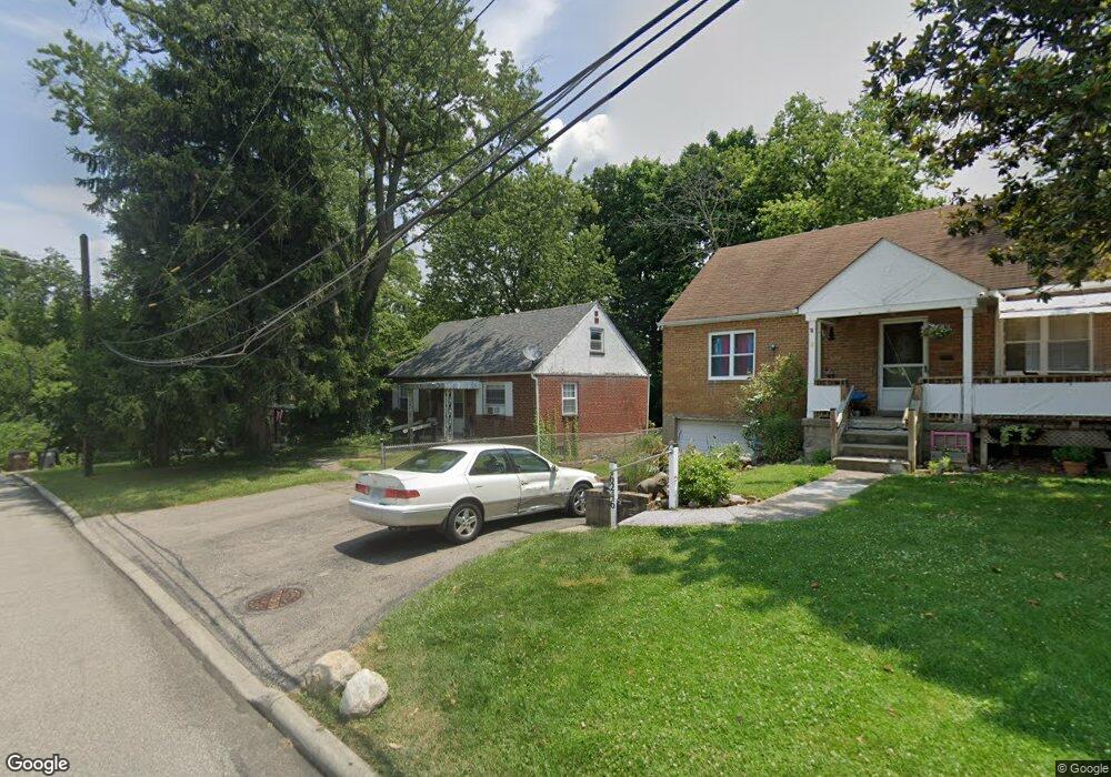
6300 Marie Ave Cincinnati, OH 45224
Finneytown NeighborhoodEstimated Value: $161,481 - $196,000
4
Beds
1
Bath
1,243
Sq Ft
$148/Sq Ft
Est. Value
About This Home
This home is located at 6300 Marie Ave, Cincinnati, OH 45224 and is currently estimated at $184,370, approximately $148 per square foot. 6300 Marie Ave is a home located in Hamilton County with nearby schools including Finneytown Elementary School, Finneytown Secondary Campus, and St. Vivian School.
Ownership History
Date
Name
Owned For
Owner Type
Purchase Details
Closed on
Oct 31, 1997
Sold by
Salchli Melissa A and Osswald Scott L
Bought by
Cunningham Kathryn
Current Estimated Value
Home Financials for this Owner
Home Financials are based on the most recent Mortgage that was taken out on this home.
Original Mortgage
$80,200
Outstanding Balance
$11,422
Interest Rate
7.43%
Mortgage Type
FHA
Estimated Equity
$172,948
Create a Home Valuation Report for This Property
The Home Valuation Report is an in-depth analysis detailing your home's value as well as a comparison with similar homes in the area
Home Values in the Area
Average Home Value in this Area
Purchase History
| Date | Buyer | Sale Price | Title Company |
|---|---|---|---|
| Cunningham Kathryn | $80,300 | -- |
Source: Public Records
Mortgage History
| Date | Status | Borrower | Loan Amount |
|---|---|---|---|
| Open | Cunningham Kathryn | $80,200 |
Source: Public Records
Tax History
| Year | Tax Paid | Tax Assessment Tax Assessment Total Assessment is a certain percentage of the fair market value that is determined by local assessors to be the total taxable value of land and additions on the property. | Land | Improvement |
|---|---|---|---|---|
| 2025 | $2,449 | $35,077 | $7,798 | $27,279 |
| 2023 | $2,352 | $35,077 | $7,798 | $27,279 |
| 2022 | $2,654 | $28,728 | $7,063 | $21,665 |
| 2021 | $2,604 | $28,728 | $7,063 | $21,665 |
| 2020 | $2,646 | $28,728 | $7,063 | $21,665 |
| 2019 | $2,430 | $24,346 | $5,985 | $18,361 |
| 2018 | $2,244 | $24,346 | $5,985 | $18,361 |
| 2017 | $2,138 | $24,346 | $5,985 | $18,361 |
| 2016 | $2,232 | $24,973 | $5,985 | $18,988 |
| 2015 | $2,246 | $24,973 | $5,985 | $18,988 |
| 2014 | $2,247 | $24,973 | $5,985 | $18,988 |
| 2013 | $2,288 | $26,285 | $6,300 | $19,985 |
Source: Public Records
Map
Nearby Homes
- 1148 Hollywood Ave
- 6629 Charann Ln
- 6538 S Oak Knoll Dr
- 1197 Toluca Ct
- 6145 Sunridge Dr
- 6101 Capri Dr
- 6000 Capri Dr
- 6728 Sandalwood Ln
- 5940 Kenneth Ave
- 6024 Sunridge Dr
- 6071 Lantana Ave
- 1140 Cedar Ave
- 6639 Plantation Way
- 5974 Sunridge Dr
- 6669 Kirkland Dr
- 6666 Orleans Ct
- 7873 Bobolink Dr
- 939 Venetian Terrace
- 1552 Reid Ave
- 1565 Reid Ave
- 6308 Marie Ave
- 6302 Marie Ave
- 6246 Marie Ave
- 6244 Marie Ave
- 6303 Marie Ave
- 6242 Marie Ave
- 6301 Marie Ave
- 6245 Marie Ave
- 6243 Marie Ave
- 6238 Marie Ave
- 6241 Marie Ave
- 6239 Marie Ave
- 6304 Stella Ave
- 6236 Marie Ave
- 6306 Stella Ave
- 6262 Stella Ave
- 6237 Marie Ave
- 6234 Marie Ave
- 6308 Stella Ave
- 6258 Stella Ave
Your Personal Tour Guide
Ask me questions while you tour the home.