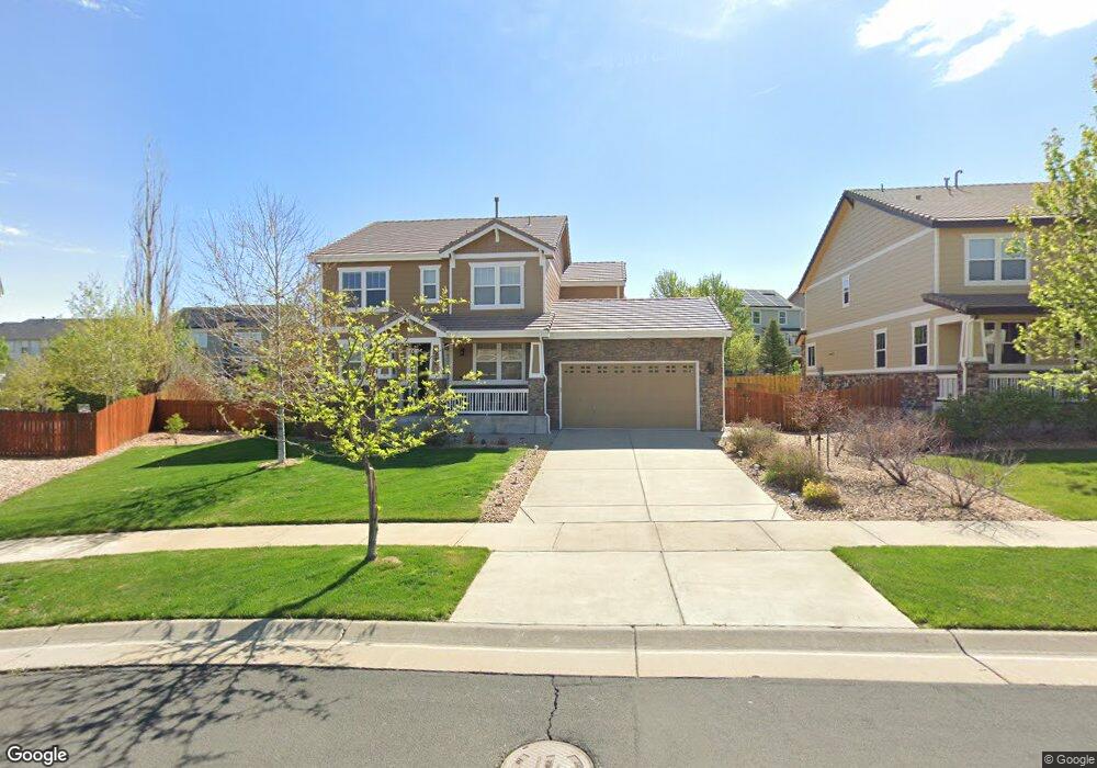
6300 S Langdale Way Aurora, CO 80016
Southeast Aurora NeighborhoodEstimated Value: $749,821 - $829,000
5
Beds
4
Baths
3,717
Sq Ft
$214/Sq Ft
Est. Value
About This Home
This home is located at 6300 S Langdale Way, Aurora, CO 80016 and is currently estimated at $796,455, approximately $214 per square foot. 6300 S Langdale Way is a home located in Arapahoe County with nearby schools including Pine Ridge Elementary School, Infinity Middle School, and Cherokee Trail High School.
Ownership History
Date
Name
Owned For
Owner Type
Purchase Details
Closed on
Jul 10, 2020
Sold by
Lather Daniel G and Lather Jessica M
Bought by
Swedberg Andrew Richard and Swedberg Elyse Marie
Current Estimated Value
Home Financials for this Owner
Home Financials are based on the most recent Mortgage that was taken out on this home.
Original Mortgage
$510,400
Outstanding Balance
$452,589
Interest Rate
3.1%
Mortgage Type
VA
Estimated Equity
$343,866
Purchase Details
Closed on
Feb 28, 2011
Sold by
Richmond American Homes Of Colorado Inc
Bought by
Lather Daniel G and Lather Jessica M
Home Financials for this Owner
Home Financials are based on the most recent Mortgage that was taken out on this home.
Original Mortgage
$414,327
Interest Rate
4.75%
Mortgage Type
FHA
Create a Home Valuation Report for This Property
The Home Valuation Report is an in-depth analysis detailing your home's value as well as a comparison with similar homes in the area
Home Values in the Area
Average Home Value in this Area
Purchase History
| Date | Buyer | Sale Price | Title Company |
|---|---|---|---|
| Swedberg Andrew Richard | $605,000 | Land Title Guarantee Co | |
| Lather Daniel G | $419,900 | None Available |
Source: Public Records
Mortgage History
| Date | Status | Borrower | Loan Amount |
|---|---|---|---|
| Open | Swedberg Andrew Richard | $510,400 | |
| Previous Owner | Lather Daniel G | $414,327 |
Source: Public Records
Tax History Compared to Growth
Tax History
| Year | Tax Paid | Tax Assessment Tax Assessment Total Assessment is a certain percentage of the fair market value that is determined by local assessors to be the total taxable value of land and additions on the property. | Land | Improvement |
|---|---|---|---|---|
| 2024 | $7,485 | $49,748 | -- | -- |
| 2023 | $6,860 | $49,748 | $0 | $0 |
| 2022 | $5,561 | $39,399 | $0 | $0 |
| 2021 | $5,525 | $39,399 | $0 | $0 |
| 2020 | $5,933 | $43,215 | $0 | $0 |
| 2019 | $6,064 | $43,215 | $0 | $0 |
| 2018 | $5,816 | $38,261 | $0 | $0 |
| 2017 | $5,775 | $38,261 | $0 | $0 |
| 2016 | $5,677 | $40,987 | $0 | $0 |
| 2015 | $5,932 | $40,987 | $0 | $0 |
| 2014 | -- | $34,156 | $0 | $0 |
| 2013 | -- | $29,690 | $0 | $0 |
Source: Public Records
Map
Nearby Homes
- 6247 S Muscadine Ct
- 25446 E Arbor Dr
- 6440 S Newcastle Way
- 6345 S Ider Way
- 25994 E Peakview Place
- 6265 S Ider Way
- 5967 S Langdale Ct
- 26404 E Caley Dr
- 26155 E Euclid Dr
- 25829 E Calhoun Place
- 6471 S Ider St
- 6360 S Patsburg Ct
- 25808 E Calhoun Place
- 6353 S Queensburg Ct
- 26473 E Caley Dr
- 6484 S Harvest St
- 6700 S Kellerman Way
- 26656 E Peakview Dr
- 24880 E Euclid Place
- 24702 E Hoover Place
- 6310 S Langdale Way
- 6290 S Langdale Way
- 6295 S Millbrook Way
- 6285 S Millbrook Way
- 6305 S Millbrook Way
- 6320 S Langdale Way
- 6275 S Millbrook Way
- 6315 S Millbrook Way
- 6265 S Millbrook Way
- 6319 S Langdale Way
- 6330 S Langdale Way
- 6319 S Millbrook Way
- 6329 S Langdale Way
- 6255 S Millbrook Way
- 6340 S Langdale Way
- 6276 S Millbrook Way
- 6266 S Millbrook Way
- 6286 S Millbrook Way
- 6245 S Millbrook Way
- 6256 S Millbrook Way