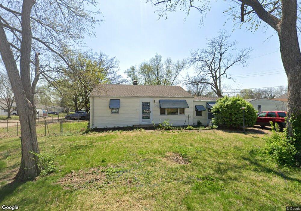
6300 Sheppard Dr Saint Louis, MO 63123
Estimated Value: $184,000 - $214,000
2
Beds
1
Bath
966
Sq Ft
$203/Sq Ft
Est. Value
About This Home
This home is located at 6300 Sheppard Dr, Saint Louis, MO 63123 and is currently estimated at $196,573, approximately $203 per square foot. 6300 Sheppard Dr is a home located in St. Louis County with nearby schools including Mesnier Primary School, Gotsch Intermediate School, and Rogers Middle School.
Create a Home Valuation Report for This Property
The Home Valuation Report is an in-depth analysis detailing your home's value as well as a comparison with similar homes in the area
Home Values in the Area
Average Home Value in this Area
Tax History
| Year | Tax Paid | Tax Assessment Tax Assessment Total Assessment is a certain percentage of the fair market value that is determined by local assessors to be the total taxable value of land and additions on the property. | Land | Improvement |
|---|---|---|---|---|
| 2025 | $2,447 | $35,040 | $14,880 | $20,160 |
| 2024 | $2,447 | $30,060 | $9,920 | $20,140 |
| 2023 | $2,366 | $30,060 | $9,920 | $20,140 |
| 2022 | $2,465 | $26,850 | $9,920 | $16,930 |
| 2021 | $2,250 | $26,850 | $9,920 | $16,930 |
| 2020 | $2,093 | $23,280 | $9,710 | $13,570 |
| 2019 | $2,089 | $23,280 | $9,710 | $13,570 |
| 2018 | $1,856 | $18,260 | $6,780 | $11,480 |
| 2017 | $1,845 | $18,260 | $6,780 | $11,480 |
| 2016 | $1,656 | $17,400 | $3,930 | $13,470 |
Source: Public Records
Map
Nearby Homes
- 8520 Ava Dr
- 6321 Sheppard Dr
- 6209 Bixby Ave
- 8501 Palmetto Dr
- 8628 Charlton Ln
- 6714 Colony Acres Dr
- 6722 Colony Acres Dr
- 6723 Colony Acres Dr
- 9225 Pavia Ave
- 6421 Judson Ave
- 8200 New Hampshire Ave
- 9320 Sterling Place
- 8016 Wynwood Dr
- 9018 Vasel Dr
- 8506 Mathilda Ave
- 8942 Eden Ave
- 9319 Lenard Ct
- 9406 Mackenzie Rd
- 6901 General Sherman Ln
- 5315 Vine Ave
Your Personal Tour Guide
Ask me questions while you tour the home.